 Old Cumbria Gazetteer
 |
 |
|
| school, Yanwath etc | ||
| Yanwath County Primary School | ||
| locality:- | Yanwath | |
| civil parish:- | Yanwath and Eamont Bridge (formerly Westmorland) | |
| civil parish:- | Sockbridge and Tirril (formerly Westmorland) | |
| county:- | Cumbria | |
| locality type:- | school | |
| coordinates:- | NY51042745 | |
| 1Km square:- | NY5127 | |
| 10Km square:- | NY52 | |
|
|
||
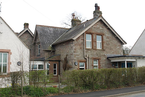 BSO69.jpg Older part of school. (taken 23.4.2010) 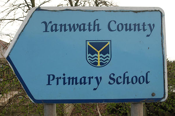 BSO70.jpg Sign. (taken 23.4.2010) |
||
| The older building is enclosed within enlargements. |
||
|
|
||
| evidence:- | old map:- OS County Series (Wmd 3 16) |
|
| source data:- | Maps, County Series maps of Great Britain, scales 6 and 25
inches to 1 mile, published by the Ordnance Survey, Southampton,
Hampshire, from about 1863 to 1948. "National School" |
|
|
|
||
 Lakes Guides menu.