


placename:- Yanwath
placename:- Vaneworth
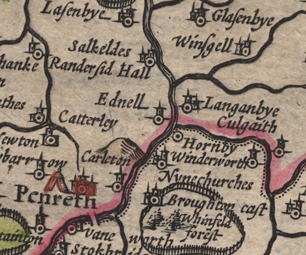
SP11NY53.jpg
"Vaneworth"
circle, tower; Westmorland
item:- private collection : 16
Image © see bottom of page
placename:- Naneworth
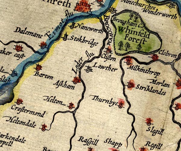
SP14NY52.jpg
"Naneworth"
circle, tower
item:- Armitt Library : 2008.14.5
Image © see bottom of page
placename:- Naneworth
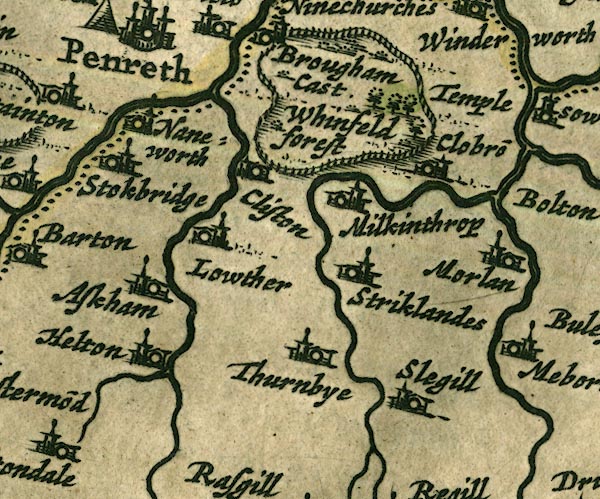
JAN3NY52.jpg
"Naneworth"
Buildings and tower.
item:- JandMN : 88
Image © see bottom of page
placename:- Yanwoth
"Yanwoth"
placename:- Vaneworth
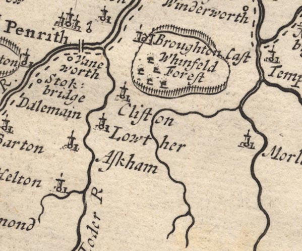
MD12NY52.jpg
"Vaneworth"
Circle.
item:- JandMN : 90
Image © see bottom of page
placename:- Yaneworth
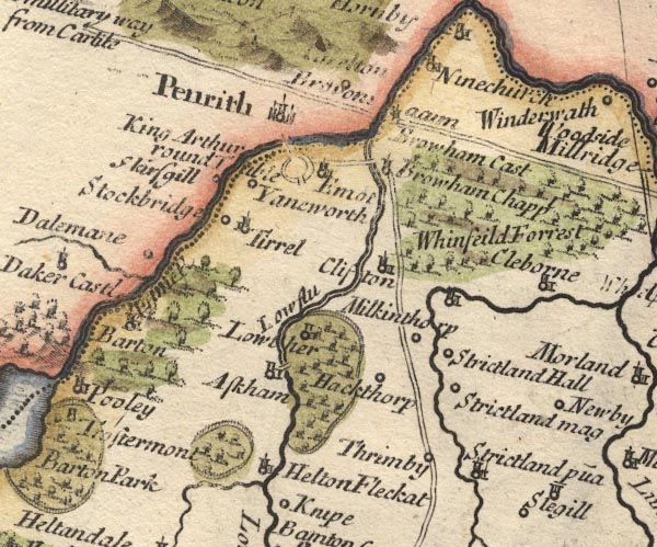
MD10NY52.jpg
"Yaneworth"
Circle.
item:- JandMN : 24
Image © see bottom of page
placename:- Yanworth
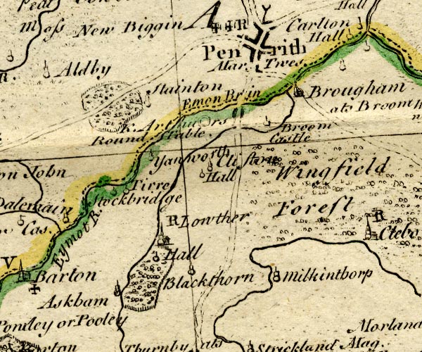
BO18NY42.jpg
"Yanworth"
circle, tower
item:- Armitt Library : 2008.14.10
Image © see bottom of page
placename:- Yanworth
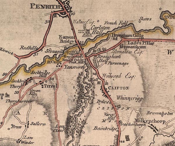
J5NY52NW.jpg
"Yanworth"
blocks, labelled in italic lowercase text; settlement, village?
item:- National Library of Scotland : EME.s.47
Image © National Library of Scotland
placename:- Yanwath
placename:- Wathwaineath
placename:- One Wath
item:- placename, Yanwath; ford
 goto source
Page 41:- "... Yanwath was anciently called Wathwaineath, as appears from the following promissory note."
""I Edward Walker of Wathwaineath, in the parish of Barton, doth acknowledge myself to be indebted and owing unto Edward Clarke the sum of twelve pounds King's money, which I promise by myself, my heirs, and assigns, to pay. In test whereof is my name, the 27th day of June 1566. / EDWARD WALKER.""
"I have often thought that this place had its name Yanwath, q.d. One-Wath, from its being the only wath or ford practicable for carriages at that time. That it was so, is evident from the bank at Emont Bridge, which was then too steep for any loaded waggon to ascend, and this the name of Wathwaineath, in which wain or waggon is particularly expressed, farther signifies. Yanwath belongs to Lord Lonsdale, and the tenants are arbitrary, paying suit and service at the Hall. It formerly belonged to the Dudleys, on of whom was Attorney-General to Queen Elizabeth: It was sold by them to Sir John Lowther about the year 1654, and has continued in that family ever since."
placename:- Yanwath Villa
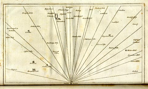 click to enlarge
CL18.jpg
"Yanwath Villa"
item:- Armitt Library : A6615.12
Image © see bottom of page
placename:- King Yanworth
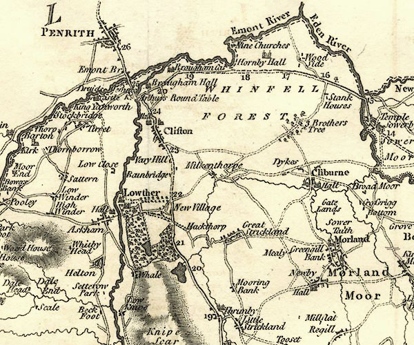
CY24NY52.jpg
"King Yanworth"
block/s, labelled in italic lowercase; house, or hamlet
item:- JandMN : 129
Image © see bottom of page
placename:- Yanworth
item:- population
 goto source
"..."
"YANWORTH, a township in the parish of Barton, Westward, Westmoreland, 3 miles from Penrith, and 280 from London; containing 37 houses and 198 inhabitants. ..."
"..."
placename:- Yanwath
 click to enlarge
COP4.jpg
"Yanwath"
circle; village or hamlet
item:- Dove Cottage : 2007.38.53
Image © see bottom of page
placename:- Yanwith
 goto source
page 47 "... "Sir Launcelot Threlkeld, who lived in the reign of Henry VII., was wont to say, he had three noble houses, one for pleasure, Crosby, in Westmoreland, where he had a park full of deer; one for profit and warmth, wherein to reside in winter, namely, Yanwith, nigh Penrith; and the third, Threlkeld, (on the edge of the Vale of Keswick), well stocked with tenants to go with him to the wars." ..."
placename:- Yanwath
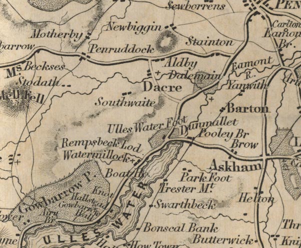
FD02NY42.jpg
"Yanwath"
item:- JandMN : 100.1
Image © see bottom of page
placename:- Yanwath
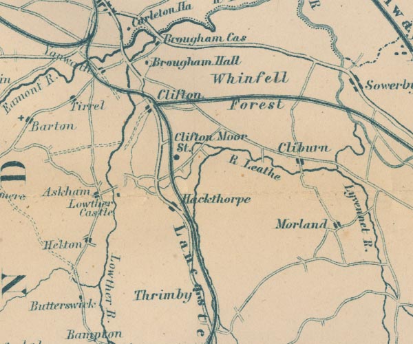
GAR2NY52.jpg
"Yanwath"
blocks, settlement
item:- JandMN : 82.1
Image © see bottom of page
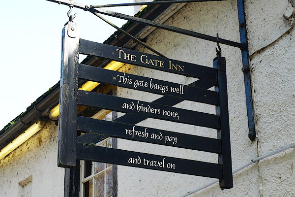 |
NY51162778 Gate Inn, The (Yanwath and Eamont Bridge) L |
 |
NY50972804 Grotto, The (Yanwath and Eamont Bridge) |
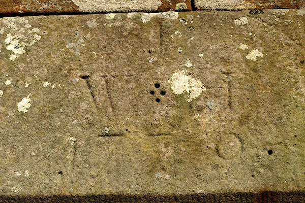 |
NY51092781 house, Yanwath (Yanwath and Eamont Bridge) |
 |
NY51172787 Poplar Lodge (Yanwath and Eamont Bridge) |
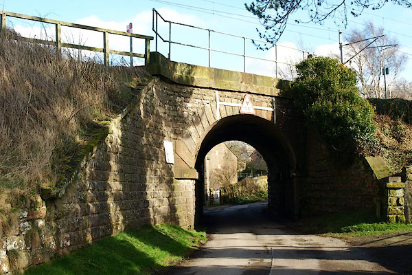 |
NY50982796 railway bridge, Yanwath etc (Yanwath and Eamont Bridge) |
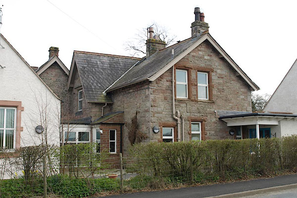 |
NY51042745 Yanwath County Primary School (Yanwath and Eamont Bridge / Sockbridge and Tirril) |
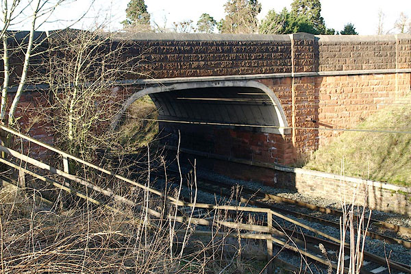 |
NY51132770 Yanwath Bridge (Yanwath and Eamont Bridge) |
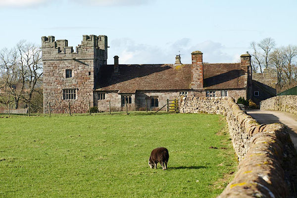 |
NY50802821 Yanwath Hall (Yanwath and Eamont Bridge) L |
 |
NY51332781 Lakeland Dovecotes (Yanwath and Eamont Bridge) |
