 Old Cumbria Gazetteer
 |
 |
|
| Naddle Bridge, Bampton | ||
| Naddle Bridge | ||
| site name:- | Haweswater Beck | |
| civil parish:- | Bampton (formerly Westmorland) | |
| civil parish:- | Shap Rural (formerly Westmorland) | |
| county:- | Cumbria | |
| locality type:- | bridge | |
| coordinates:- | NY51011598 | |
| 1Km square:- | NY5115 | |
| 10Km square:- | NY51 | |
|
|
||
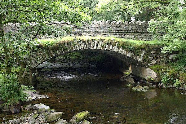
| MN photo:- |
Old bridge |
|
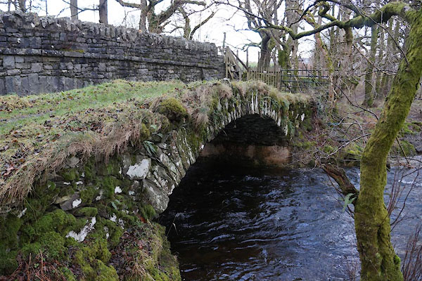 BZT19.jpg (taken 28.12.2013) 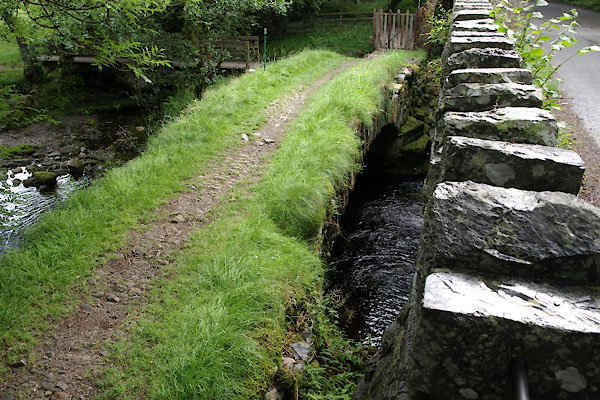 BTH88.jpg (taken 11.8.2010) |
||
|
|
||
| evidence:- | old map:- OS County Series (Wmd 13 12) placename:- Naddle Bridge |
|
| source data:- | Maps, County Series maps of Great Britain, scales 6 and 25
inches to 1 mile, published by the Ordnance Survey, Southampton,
Hampshire, from about 1863 to 1948. |
|
|
|
||
| evidence:- | old map:- OS County Series (Wmd 13 12) placename:- Naddle Bridge |
|
| source data:- | Maps, County Series maps of Great Britain, scales 6 and 25
inches to 1 mile, published by the Ordnance Survey, Southampton,
Hampshire, from about 1863 to 1948. "Naddle Bridge" |
|
|
|
||
| evidence:- | database:- Listed Buildings 2010 placename:- Naddle Old Bridge |
|
| source data:- | courtesy of English Heritage "NADDLE OLD BRIDGE (IMMEDIATELY TO EAST OF PRESENT BRIDGE) / / / BAMPTON / EDEN / CUMBRIA / II / 74466 / NY5101715980" |
|
| source data:- | courtesy of English Heritage "Original road bridge, now superseded. Probably C18. Stone rubble with long thin voussoirs. Segmental arch and abutments. No parapets. Roadway approxi- mately 3.5 m wide." |
|
|
|
||
| MN photo:- |
Old bridge |
|
 BTH89.jpg (taken 11.8.2010) |
||
|
|
||
| MN photo:- |
New bridge, 1930s? |
|
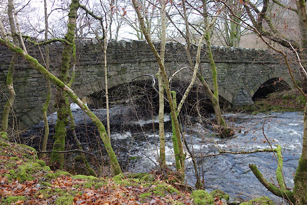 BZT36.jpg (taken 28.12.2013) 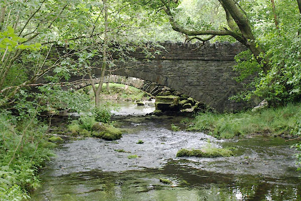 BTH87.jpg (taken 11.8.2010) |
||
|
|
||
 Lakes Guides menu.