


 Derwent, River
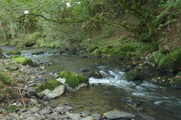
BTP51.jpg At Blumer Bridge,
(taken 5.10.2010)
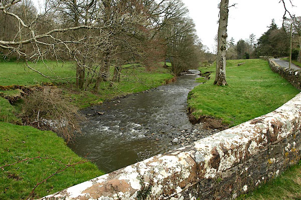
BQH49.jpg At the bridge in Isel,
(taken 27.3.2009)
placename:- Blumer Beck
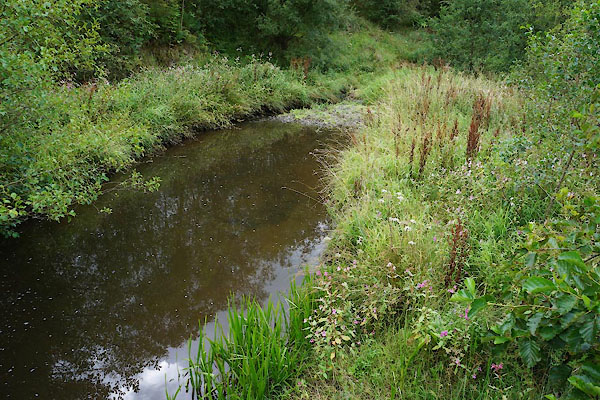
CBJ99.jpg At Beckgrains Bridge,
notice the balsam.
(taken 15..8.2014)
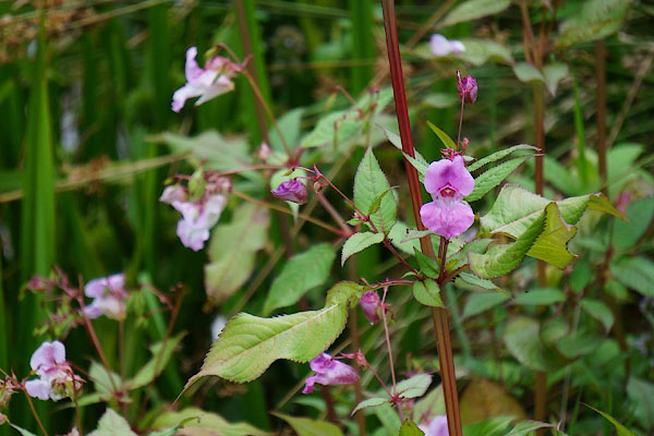
CBK01.jpg Himalayan balsam, Impatiens glandulifera
(taken 15..8.2014)
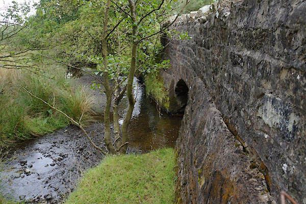 |
NY19053552 Beckgrains Bridge (Blindcrake) |
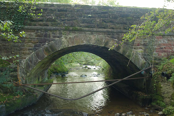 |
NY17633492 Blumer Bridge (Blindcrake) |
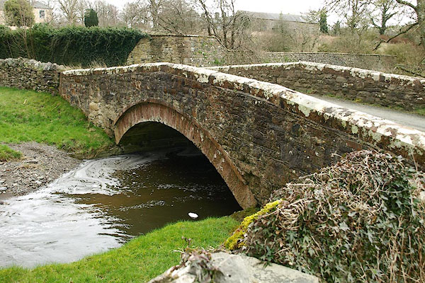 |
NY15623376 bridge, Isel (2) (Blindcrake) |
 |
NY15863397 Isel Mill (Blindcrake) L out of sight |
 |
NY18323508 Rolly Bridge (Blindcrake) |
 |
NY18773528 Sunderland Gill (Blindcrake) |
