 |
 |
|
|
|
|
Eskdale Ward |
| county:- |
Cumberland |
| locality type:- |
ward |
|
|
| evidence:- |
old map:- Morden 1695 (Cmd)
placename:- Eshdale Ward
|
| source data:- |
Map, uncoloured engraving, Cumberland, scale about 4 miles to 1
inch, by Robert Morden, 1695, published by Abel Swale, the
Unicorn, St Paul's Churchyard, Awnsham, and John Churchill, the
Black Swan, Paternoster Row, London, 1695-1715.
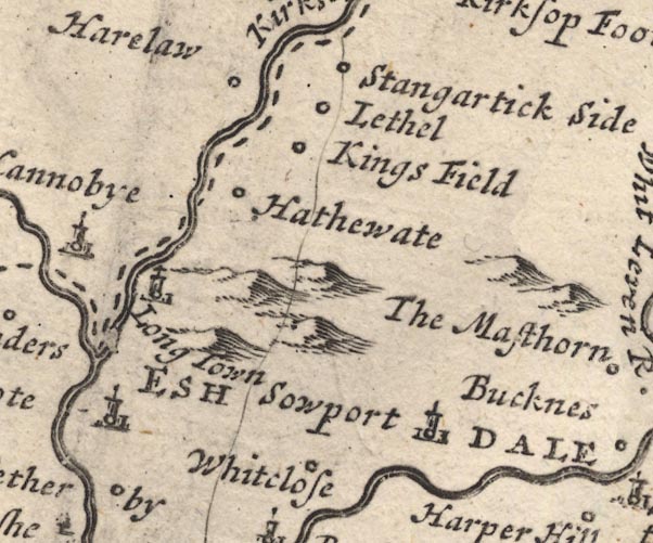
MD12NY47.jpg
"ESHDALE WARD"
Labelling the whole ward/hundred area.
item:- JandMN : 90
Image © see bottom of page
|
|
|
| evidence:- |
old map:- Moll 1724
placename:- Eshdale Ward
|
| source data:- |
Maps, Westmorland, scale about 5.5 miles to 1 inch, and
Cumberland, scale about 7 miles to 1 inch, by Herman Moll,
London, 1724; published 1724-53.
|
|
|
| evidence:- |
descriptive text:- Simpson 1746
placename:- Eskdale Ward
|
| source data:- |
Atlas, three volumes of maps and descriptive text published as
'The Agreeable Historian, or the Compleat English Traveller
...', by Samuel Simpson, 1746.
 goto source goto source
"... It [Cumberland] is not divided into Hundreds, as most other Counties are, but
Wards, of which there are five, viz. South-Ward, North-Ward, West-Ward, Leath-Ward,
and Eskdale-Ward,"
|
|
|
| evidence:- |
old map:- Bowen 1763
placename:- Eskdale Ward
|
| source data:- |
Map, Improved Map of the Counties of Cumberland and
Westmoreland, scale about 5.5 miles to 1 inch, derived from a
larger map by Bowen or Kitchin, by Emanuel Bowen, London, about
1763; published 1763-1828.
|
|
|
| evidence:- |
old map:- Cooke 1802
placename:- Eskdalale Ward
|
| source data:- |
Map, Cumberland, scale about 15.5 miles to 1 inch, by George
Cooke, 1802, bound in Gray's New Book of Roads, 1824, published
by Sherwood, Jones and Co, Paternoster Road, London, 1824.
 click to enlarge click to enlarge
GRA1Cd.jpg
"Eskdalale [Ward]"
area 1
item:- Hampshire Museums : FA2000.62.2
Image © see bottom of page
|
|
|
| evidence:- |
old map:- Cooper 1808
placename:- Eskdale Ward
|
| source data:- |
Map, uncoloured engraving, Cumberland, scale about 10.5 miles to
1 inch, drawn and engraved by Cooper, published by R Phillips,
Bridge Street, Blackfriars, London, 1808.
 click to enlarge click to enlarge
COP3.jpg
"Wards. / ... / 4 Eskdale."
number on map, table on right
item:- JandMN : 86
Image © see bottom of page
|
|
|
