 Old Cumbria Gazetteer
 |
 |
|
| milestone, Nicholforest | ||
| site name:- | road, Longtown to Newcastleton | |
| civil parish:- | Nicholforest (formerly Cumberland) | |
| county:- | Cumbria | |
| locality type:- | milestone | |
| coordinates:- | NY43577682 | |
| 1Km square:- | NY4376 | |
| 10Km square:- | NY47 | |
| SummaryText:- | moved, compare OS County series and current position; to the displeasure of at least one local resident | |
|
|
||
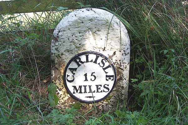 BMQ47.jpg Cast iron on stone:- "CARLISLE / 15 / MILES" (taken 15.9.2006) |
||
|
|
||
| evidence:- | old map:- OS County Series (Cmd 3 13) |
|
| source data:- | Maps, County Series maps of Great Britain, scales 6 and 25
inches to 1 mile, published by the Ordnance Survey, Southampton,
Hampshire, from about 1863 to 1948. "M.S. Carlisle 15" |
|
|
|
||
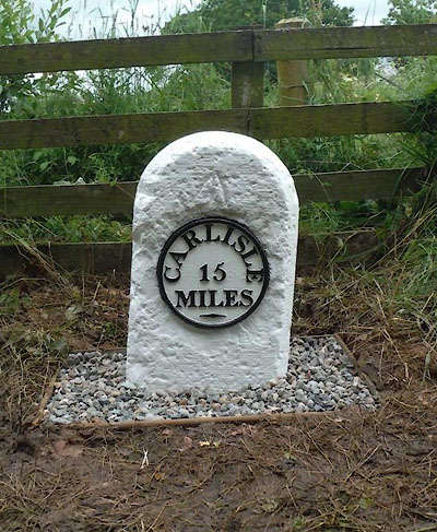 CEL72.jpg Cast iron plate on stone:- "CARLISLE / 15 / MILES" (taken 7.2015) courtesy of Terry Moore Image © Terry Moore |
||
|
|
||
 Lakes Guides menu.