 |
 |
   |
|
|
|
Haltwhistle |
| county:- |
Northumberland |
| locality type:- |
locality |
| locality type:- |
buildings |
| coordinates:- |
NY704642 (etc) |
| 1Km square:- |
NY7064 |
| 10Km square:- |
NY76 |
|
|
| evidence:- |
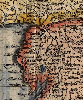
old map:- Speed 1611 (Cum/EW)
placename:- Haltwesell
|
| source data:- |
Map, hand coloured engraving, Kingdome of Great Britaine and
Ireland, scale about 36 miles to 1 inch, by John Speed, about
1610-11, published by Thomas Bassett, Fleet Street and Richard
Chiswell, St Paul's Churchyard, London, 1676?
 click to enlarge click to enlarge
SPD6Cm.jpg
"Haltwesell"
dot, circle, and tower
item:- private collection : 85
Image © see bottom of page
|
|
|
| evidence:- |
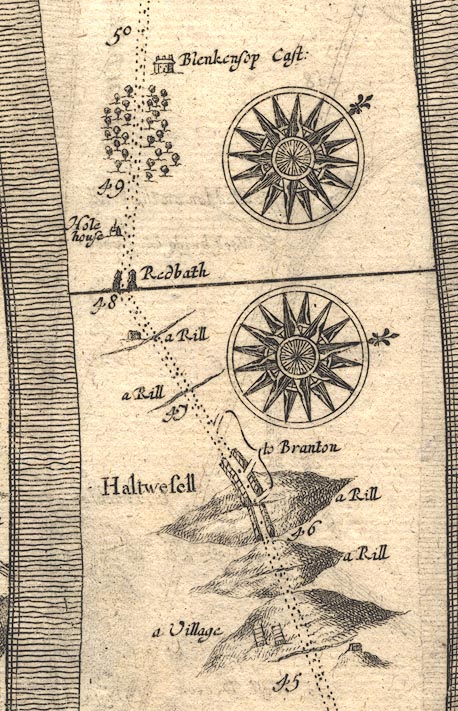
old map:- Ogilby 1675 (plate 86)
placename:- Haltwesell
|
| source data:- |
Road strip map, uncoloured engraving, the Road from Tinmouth ...
to Carlisle, scale about 1 inch to 1 mile, by John Ogilby,
London, 1675.
OG86m045.jpg
In mile 46, Northumberland. "Haltwesell"
houses each side of the road.
item:- JandMN : 73
Image © see bottom of page
|
|
|
| evidence:- |
old map:- Morden 1695 (EW)
placename:- Haltwisle
|
| source data:- |
Map, hand coloured engraving, England, including Wales, scale
about 27 miles to 1 inch, by Robert Morden, published by Abel
Swale Awnsham and John Churchil, London, about 1695.
 click to enlarge click to enlarge
MRD3Cm.jpg
"Haltwisle"
circle; village or town
item:- JandMN : 339
Image © see bottom of page
|
|
|
| evidence:- |
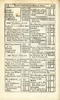
road book:- Cary 1798 (2nd edn 1802)
placename:- Haltwhistle
|
| source data:- |
Road book, itineraries, Cary's New Itinerary, by John Cary, 181
Strand, London, 2nd edn 1802.
 goto source goto source
 click to enlarge click to enlarge
C38319.jpg
page 319-320 "Haltwhistle, Northumb."
market town
item:- JandMN : 228.1
Image © see bottom of page
|
|
|
| evidence:- |
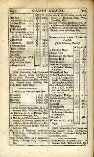
road book:- Cary 1798 (2nd edn 1802)
placename:- Haltwhistle
|
| source data:- |
Road book, itineraries, Cary's New Itinerary, by John Cary, 181
Strand, London, 2nd edn 1802.
 goto source goto source
 click to enlarge click to enlarge
C38699.jpg
page 699-700 "Haltwhistle"
market town, post office
item:- JandMN : 228.2
Image © see bottom of page
|
|
|
| evidence:- |
old map:- Ford 1839 map
placename:- Haltwhistle
|
| source data:- |
Map, uncoloured engraving, Map of the Lake District of
Cumberland, Westmoreland and Lancashire, scale about 3.5 miles
to 1 inch, published by Charles Thurnam, Carlisle, and by R
Groombridge, 5 Paternoster Row, London, 3rd edn 1843.
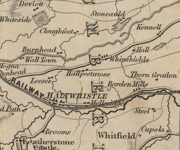
FD02NY76.jpg
"HALTWHISTLE"
item:- JandMN : 100.1
Image © see bottom of page
|
|
|
| places:- |
 |
NY70706383 Haltwhistle Junction () |
|
|
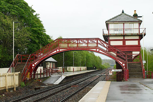 |
NY70496375 Haltwhistle Station () |
|
|
 |
NY70936369 Haltwhistle Viaduct () |
|


 click to enlarge
 click to enlarge
 goto source
 click to enlarge
 goto source
 click to enlarge


