 Old Cumbria Gazetteer
 |
 |
|
| bridge, Kershopefoot | ||
| site name:- | Kershop Burn | |
| locality:- | Kershopefoot | |
| civil parish:- | Nicholforest (formerly Cumberland) | |
| county:- | Cumbria | |
| locality type:- | bridge | |
| coordinates:- | NY48368277 | |
| 1Km square:- | NY4882 | |
| 10Km square:- | NY48 | |
| country:- | Scotland | |
| current boundary | ||
| locality:- | Cumbria boundary | |
|
|
||
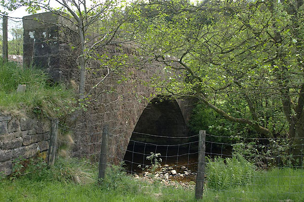 BSW06.jpg (taken 4.6.2010) |
||
|
|
||
| evidence:- | old map:- Ogilby 1675 (plate 62) |
|
| source data:- | Raod strip map, uncoloured engraving, the Road from Carlisle to
Barwick, scale about 1 inch to 1 mile, by John Ogilby, London,
1675.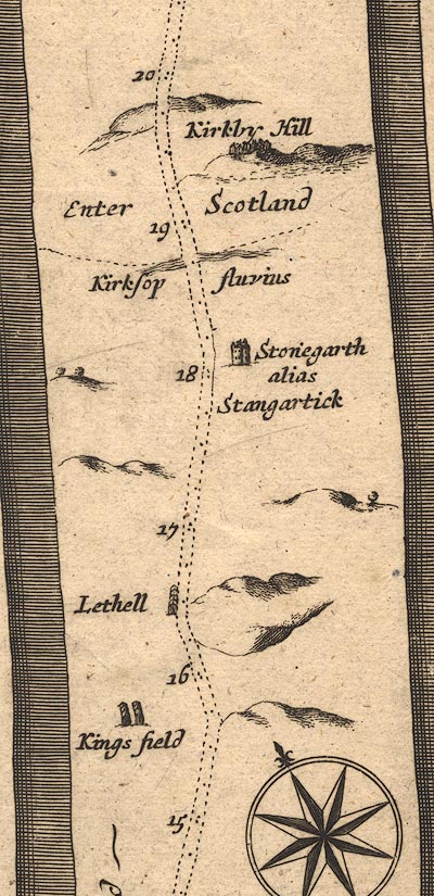 OG62m015.jpg In mile 18, Scotland. Road crosses:- "Kirksop fluvius" no bridge is drawn; and:- "Enter Scotland" item:- JandMN : 83 Image © see bottom of page |
|
|
|
||
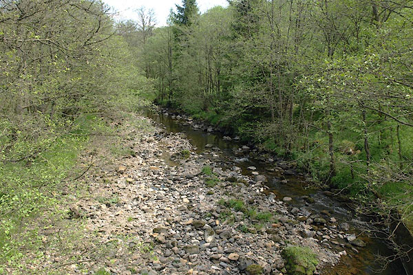 BSW07.jpg View of river. (taken 4.6.2010) |
||
|
|
||
 Lakes Guides menu.