


placename:- Watermillock
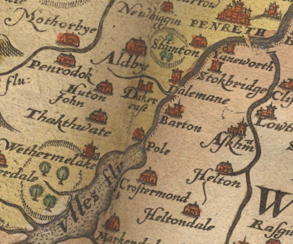
placename:- Wethermelake
Sax9NY42.jpg
Church, symbol for a parish or village, with a parish church. "Wethermelake"
item:- private collection : 2
Image © see bottom of page
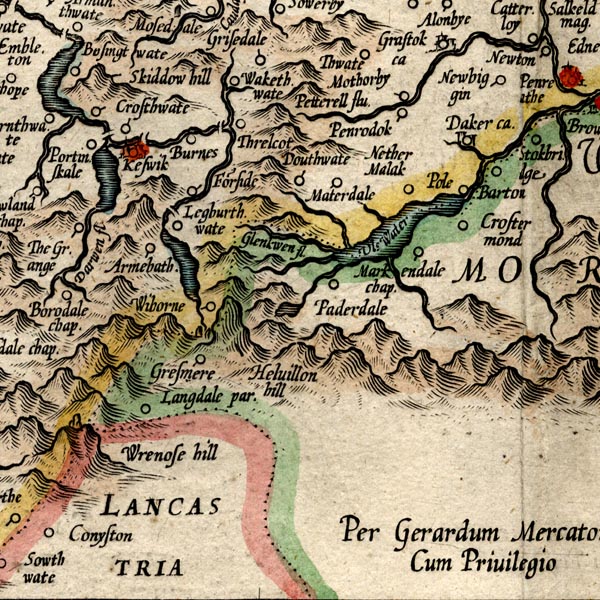
placename:- Nether Malak
placename:- Malak, Nether
MER8CumF.jpg
"Nether Malak"
circle
item:- JandMN : 169
Image © see bottom of page
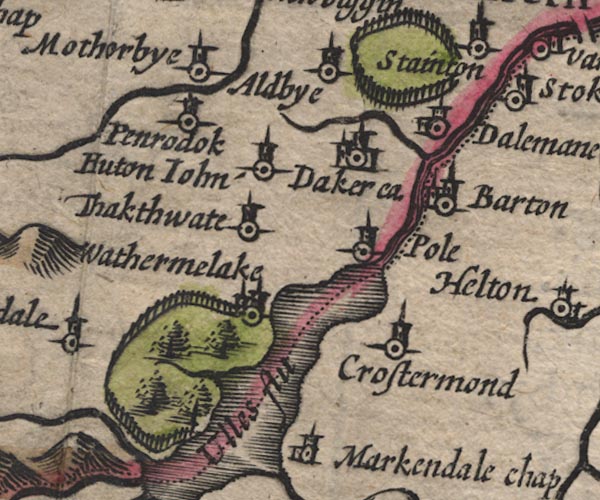
placename:- Wathermelake
SP11NY42.jpg
"Wathermelake"
circle, buildings, tower
item:- private collection : 16
Image © see bottom of page
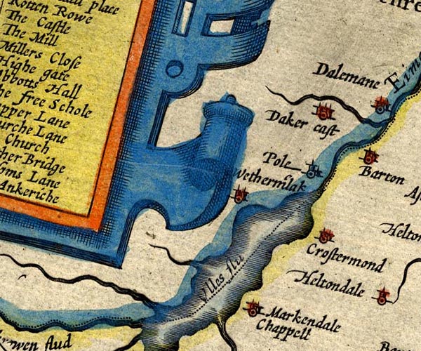
placename:- Wethermilak
SP14NY42.jpg
"Wetherm'lak"
circle, towers
item:- Armitt Library : 2008.14.5
Image © see bottom of page
placename:- Wathermelake
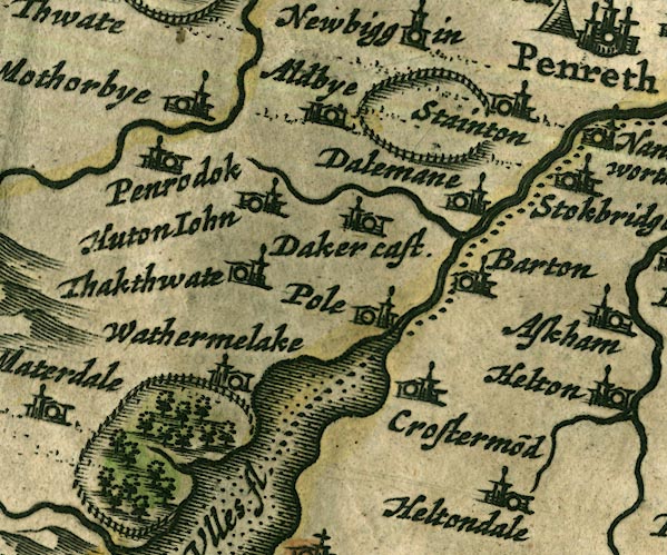
JAN3NY42.jpg
"Wathermelake"
Buildings and tower.
item:- JandMN : 88
Image © see bottom of page
placename:- Wathermalach
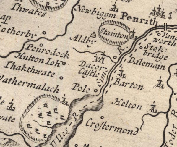
MD12NY42.jpg
"Wathermalach"
Circle, building and tower, on edge of Gowbarrow Park.
item:- JandMN : 90
Image © see bottom of page
placename:- Watermalack
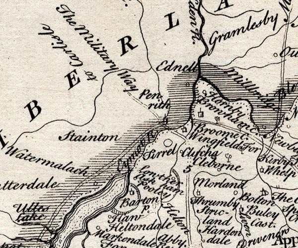
SMP2NYL.jpg
"Watermalack"
Circle.
item:- Dove Cottage : 2007.38.59
Image © see bottom of page
placename:- Wathermalack
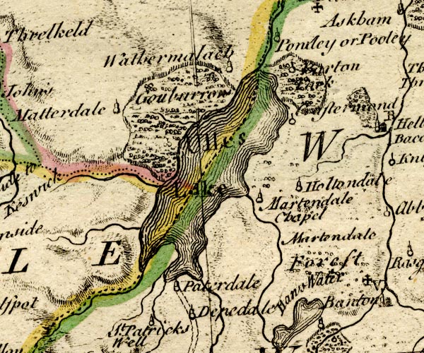
BO18NY31.jpg
"Wathermalack"
circle, tower
item:- Armitt Library : 2008.14.10
Image © see bottom of page
placename:- Watermillock
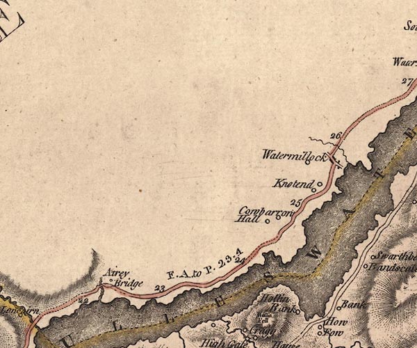
J5NY42SW.jpg
"Watermillock"
blocks, labelled in italic lowercase text; settlement, village?
item:- National Library of Scotland : EME.s.47
Image © National Library of Scotland
placename:- Watermelock
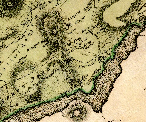
D4NY42SW.jpg
"Watermelock"
block or blocks, labelled in lowercase; a hamlet or just a house
item:- Carlisle Library : Map 2
Image © Carlisle Library
placename:- Watermillock
 goto source
Addendum; Mr Gray's Journal, 1769
Page 202:- "It is soon again interrupted by the root of Helvellyn, ... and spreading again, turns off to the south-east, and is lost among the deep recesses of the hills. To this second turning I pursued my way about four miles along its border, beyond a village scattered among trees, and called Watermillock, in a pleasant grave day, perfectly calm and warm, but without a gleam of sunshine; ..."
placename:- Watermillock
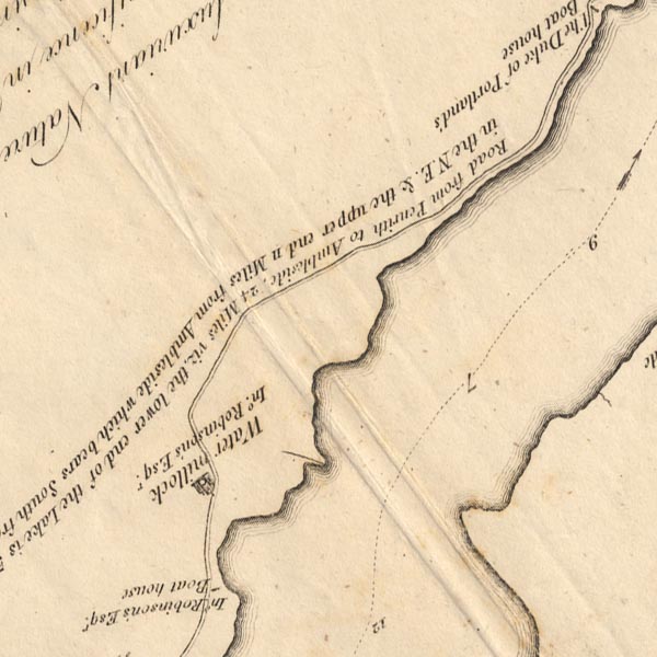
CT5NY42L.jpg
"Watermillock / Ino. Robinson's Esqr."
item:- Armitt Library : 1959.191.7
Image © see bottom of page
placename:- Watermillock
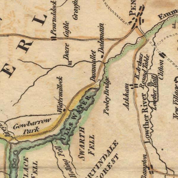
Ws02NY42.jpg
item:- Armitt Library : A1221.1
Image © see bottom of page
placename:- Water Millock
item:- fishing; angling; gun; echoes
 goto source
Page 25:- "..."
"... It will also much enhance the pleasure [visiting Ullswater], if they previously send notice to the fishermen at How-Town, or Water-Millock, to prepare their boats and nets; so that at their return, which will be about five hours, they may see the manner of taking the different kinds of fish. The price of these fishermen is three draughts for five shillings, and the fish they take is the property of their employers. Those who are fond of angling will do well to take their tackle with them, as perhaps they can no where meet with better sport. I one day caught, in this manner, between Powley and the small island, twenty-nine trouts."
"..."
 goto source
page 25:- "..."
"The next remarkable place is the village of Water-Millock, the seat and manor of John Robinson, Esq; [seat of John Robinson, Esq.] it is held under the Earl of Surrey as parcel of the barony of Greystock, and is one of the most beautiful situations our Island affords. It is compleatly sheltered from every inclement blast by mountains and groves, and every window in the house presents you with a beautiful landscape, each varied from another both in"
 goto source
Page 26:- "objects and stile. On one side is the lake; on another a beautiful and cultivated scene, composed of water, wood, and hills; on another, high, rugged, and broken rocks, interspersed with here and there a green shrub; and on the other is a beautiful view up the lake, including the rugged and varied hills on the opposite side, together with Helveylin and its craggy inferiors."
"Here fire a gun or two to rouse the echoes from the hills; the traveller will be astonished to hear them like repeated peals of thunder, some linger, some shorter, now seeming like the crash of worlds, now reverberating only in hollow murmurs. The effect of martial music is inconceivable, more particularly when joined to the reports of the guns. Every note is re-echoed in ten thousand varied tones; sometimes the ear fancies it perceives something of a regular strain, then again all relapses into such a mixture of wildness and harmony as is beyond the reach of art; whilst that savage uproar which the guns occasion, disturbs at intervals the softer harmony, and impresses the mind with ideas awfully pleasing."
placename:- Watermelock
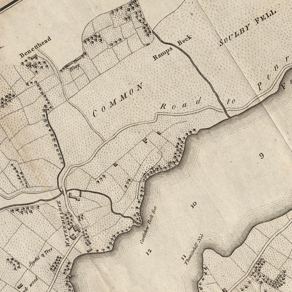
CL4NY42L.jpg
"WATERMELOCK"
item:- private collection : 10.4
Image © see bottom of page
placename:- Watermillock
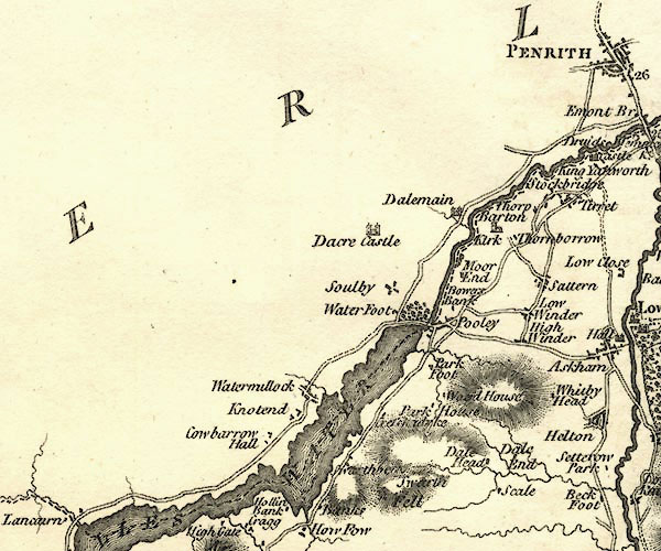
CY24NY42.jpg
"Watermillock"
block/s, labelled in italic lowercase; house, or hamlet
item:- JandMN : 129
Image © see bottom of page
placename:- Watermillock
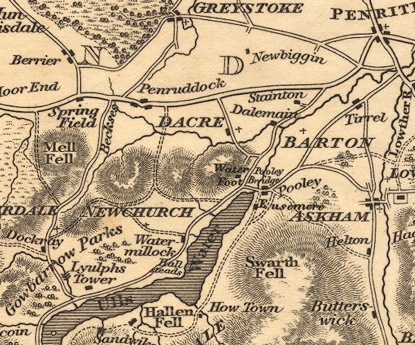
OT02NY42.jpg
item:- JandMN : 48.1
Image © see bottom of page
placename:- Water Millock
 goto source
Gentleman's Magazine 1819 part 1 p.506
From the Compendium of County History:- "Brown, Dr. Joseph, biographer and editor of Cardinal Bererini, Water Millock, 1700."
placename:- Watermillock
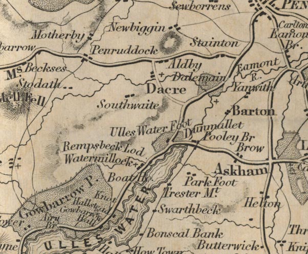
FD02NY42.jpg
"Watermillock"
item:- JandMN : 100.1
Image © see bottom of page
placename:- Watermillock
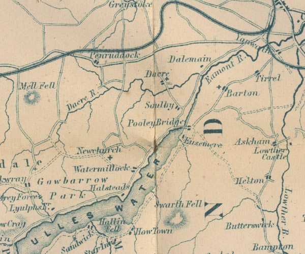
GAR2NY42.jpg
"Watermillock"
blocks, settlement
item:- JandMN : 82.1
Image © see bottom of page
placename:- Watermillock
 click to enlarge
POF7Cm.jpg
"Watermillock"
map date 1909
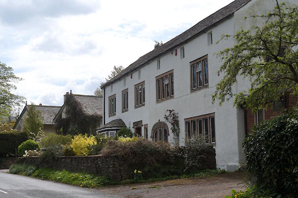 |
NY44592250 Barn End (Matterdale) |
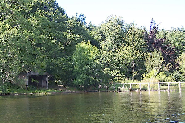 |
NY44652216 boat house, Matterdale (11) (Matterdale) |
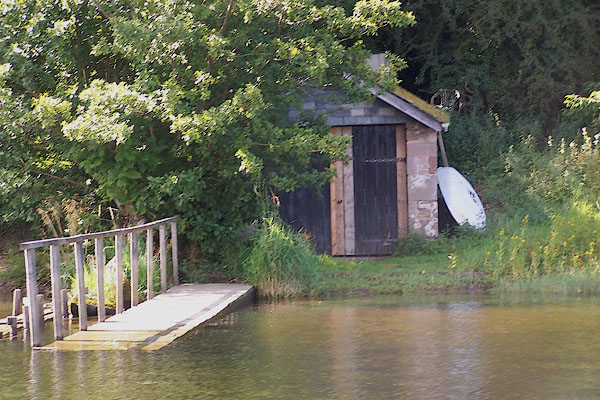 |
NY44652217 boat house, Matterdale (12) (Matterdale) |
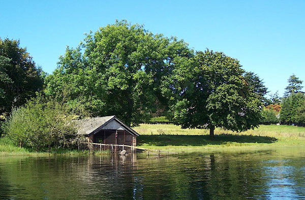 |
NY44692227 boat house, Matterdale (13) (Matterdale) |
 |
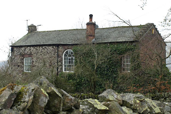
NY44542202 chapel, Matterdale (Matterdale) |
 |
NY43282296 Hazelhurst (Matterdale) |
 |
NY44482267 Longthwaite Bridge (Matterdale) |
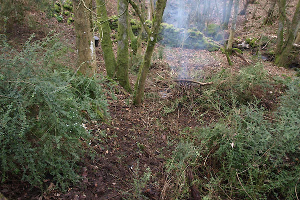 |
NY43152312 pinfold, Watermillock (Matterdale) |
 |
NY44582247 Watermillock Post Office (Matterdale) |
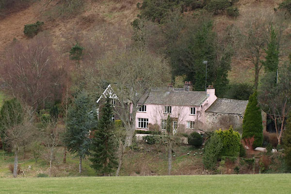 |
NY42982294 Rectory, The (Matterdale) |
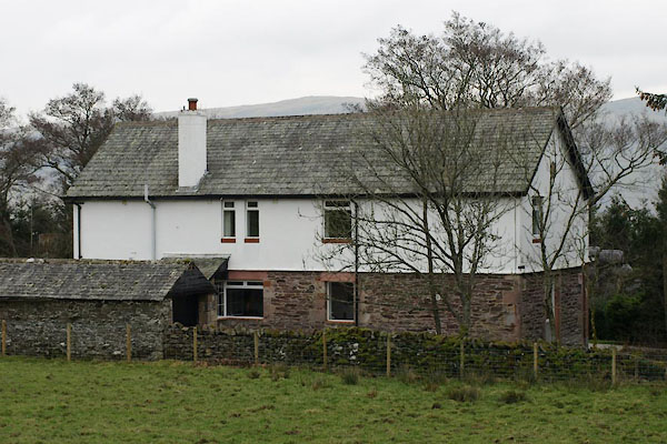 |
NY43172317 Grammar School House (Matterdale) |
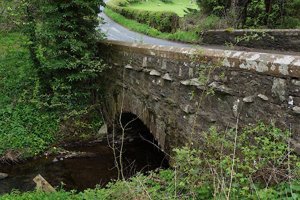 |
NY44532272 Townend Bridge (Matterdale) |
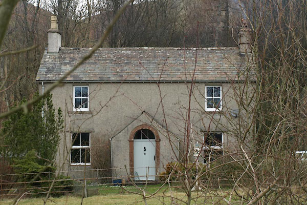 |
NY43142310 Undercragg (Matterdale) |
 |
NY4422 viewpoint, Watermillock (Matterdale) |
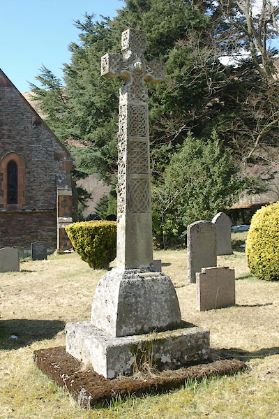 |
NY43202298 war memorial, Watermillock (Matterdale) |
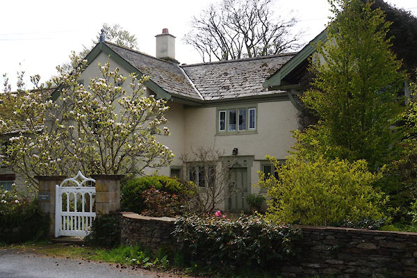 |
NY44602245 Watermillock House (Matterdale) L |
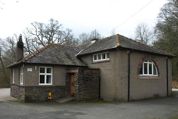 |
NY44362264 Watermillock Village Hall (Matterdale) |
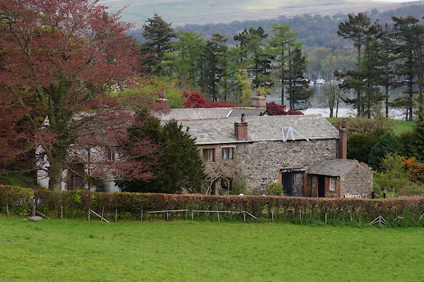 |
NY44702237 Waterside House (Matterdale) L |
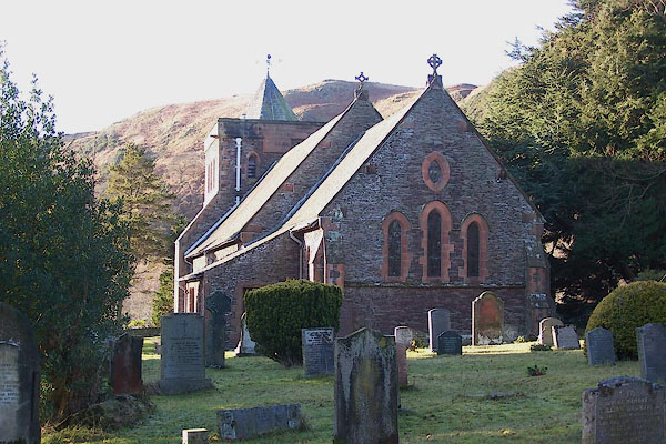 |
NY43172298 All Saints Church (Matterdale) L |
