 Old Cumbria Gazetteer
 |
 |
|
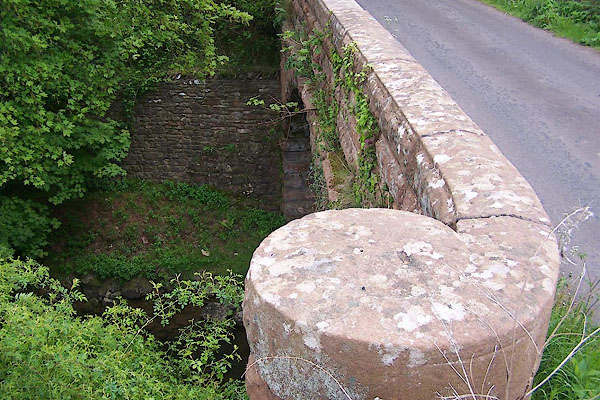
| Waterfalls Bridge, Lowther | ||
| Waterfalls Bridge | ||
| site name:- | Leith, River | |
| Street:- | Waterfalls Road | |
| civil parish:- | Lowther (formerly Westmorland) | |
| civil parish:- | Great Strickland (formerly Westmorland) | |
| county:- | Cumbria | |
| locality type:- | bridge | |
| coordinates:- | NY55082401 | |
| 1Km square:- | NY5524 | |
| 10Km square:- | NY52 | |
|
|
||
 BMD77.jpg (taken 30.5.2006) 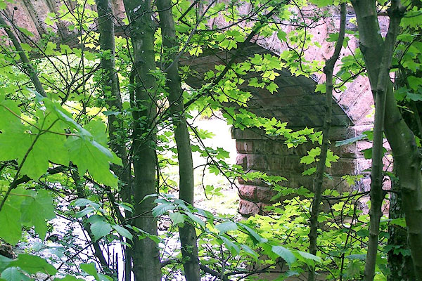 BMD78.jpg (taken 30.5.2006) |
||
|
|
||
| evidence:- | old map:- OS County Series (Wmd 8 5) placename:- Waterfalls Bridge |
|
| source data:- | Maps, County Series maps of Great Britain, scales 6 and 25
inches to 1 mile, published by the Ordnance Survey, Southampton,
Hampshire, from about 1863 to 1948. |
|
|
|
||
 Lakes Guides menu.