 |
 |
   |
|
|
| runs into:- |
 Glenderamackin, River at NY35832681 Glenderamackin, River at NY35832681 |
|
|
|
Trout Beck |
| civil parish:- |
Matterdale (formerly Cumberland) |
| civil parish:- |
Mungrisdale (formerly Cumberland) |
| county:- |
Cumbria |
| locality type:- |
river |
| locality type:- |
boundary |
| locality type:- |
parish boundary |
| 1Km square:- |
NY3726 |
| 10Km square:- |
NY32 |
|
|
|
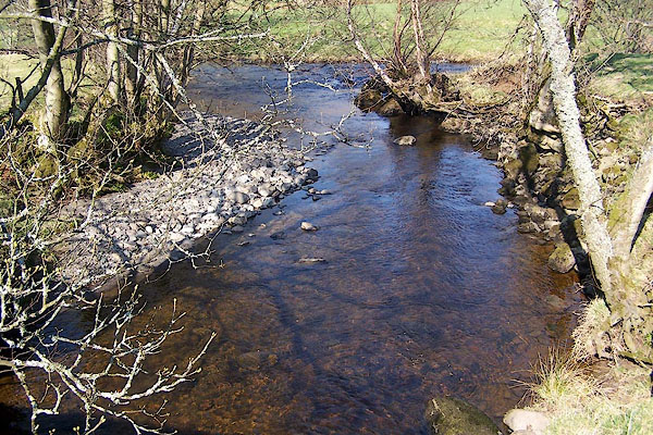
BNK52.jpg From Wolt Bridge; running into the Glenderamackin in the background.
(taken 24.3.2007)
|
|
|
| evidence:- |
old map:- OS County Series (Cmd 57 15)
placename:- Trout Beck
|
| source data:- |
Maps, County Series maps of Great Britain, scales 6 and 25
inches to 1 mile, published by the Ordnance Survey, Southampton,
Hampshire, from about 1863 to 1948.
|
|
|
| evidence:- |
old map:- Donald 1774 (Cmd)
|
| source data:- |
Map, hand coloured engraving, 3x2 sheets, The County of Cumberland, scale about 1
inch to 1 mile, by Thomas Donald, engraved and published by Joseph Hodskinson, 29
Arundel Street, Strand, London, 1774.
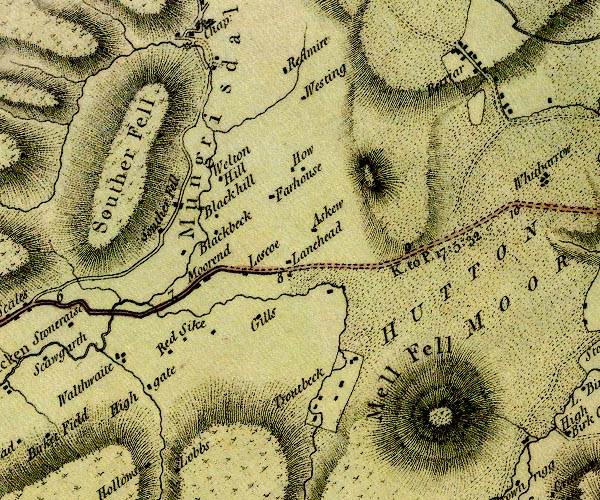
D4NY32NE.jpg
single or double wiggly line; a river into the Glendermackin
item:- Carlisle Library : Map 2
Image © Carlisle Library |
|
|
| evidence:- |
perhaps old map:- West 1784 map
|
| source data:- |
Map, hand coloured engraving, A Map of the Lakes in Cumberland,
Westmorland and Lancashire, scale about 3.5 miles to 1 inch,
engraved by Paas, 53 Holborn, London, about 1784.
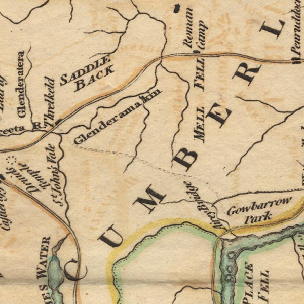
Ws02NY32.jpg
item:- Armitt Library : A1221.1
Image © see bottom of page
|
|
|
| evidence:- |
old text:- Clarke 1787
placename:- Trout Beck
|
| source data:- |
Guide book, A Survey of the Lakes of Cumberland, Westmorland,
and Lancashire, written and published by James Clarke, Penrith,
Cumberland, and in London etc, 1787; published 1787-93.
 goto source goto source
Page 62:- "... the river Greeta, which contains the waters of Trout-Beck, ..."
|
|
|
| evidence:- |
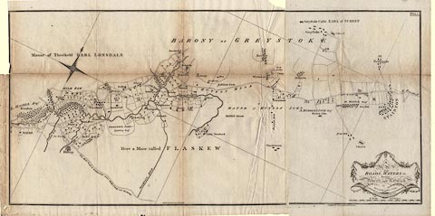
old map:- Clarke 1787 map (Penrith to Keswick)
placename:- Troutbeck River
|
| source data:- |
Map, A Map of the Roads, Waters &c between Penrith and Keswick, scale about 2 ins
to 1 mile, by James Clarke, engraved by S J Neele, 352 Strand, published by James
Clarke, Penrith, Cumberland and in London etc, 1787.
 click to enlarge click to enlarge
CL05.jpg
"Troutbeck River"
item:- private collection : 10.5
Image © see bottom of page
|
|
|
| places:- |
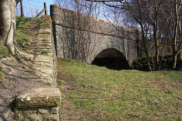 |
NY35372676 Lamb Bridge (Matterdale / Threlkeld) |
|
|
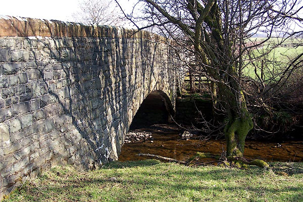 |
NY35842678 Wolt Bridge (Matterdale / Mungrisdale) |
|


 Glenderamackin, River at NY35832681


 goto source
 click to enlarge

