Old Cumbria Gazetteer
 |
 |
|
||
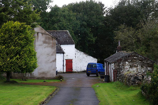
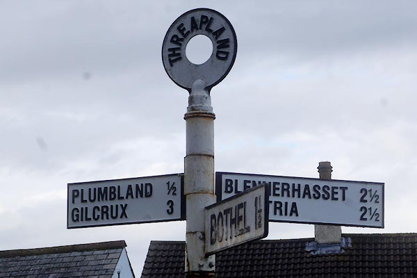
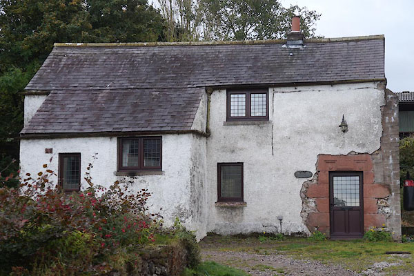
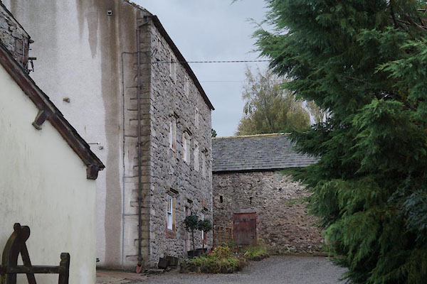
| Threapland | ||||
| civil parish:- | Bothel and Threapland (formerly Cumberland) | |||
| county:- | Cumbria | |||
| locality type:- | locality | |||
| locality type:- | buildings | |||
| coordinates:- | NY15673933 (etc) | |||
| 1Km square:- | NY1539 | |||
| 10Km square:- | NY13 | |||
|
|
||||
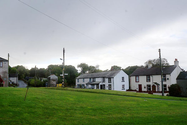 CBV70.jpg (taken 10.10.2014) |
||||
|
|
||||
| evidence:- | old map:- OS County Series (Cmd 36 13) placename:- Threapland |
|||
| source data:- | Maps, County Series maps of Great Britain, scales 6 and 25
inches to 1 mile, published by the Ordnance Survey, Southampton,
Hampshire, from about 1863 to 1948. |
|||
|
|
||||
| evidence:- | old map:- Ogilby 1675 (plate 96) placename:- Threpland |
|||
| source data:- | Road strip map, hand coloured engraving, the Road from Kendal to
Cockermouth, and the Road from Egremond to Carlisle, scale about
1 inch to 1 mile, by John Ogilby, London, 1675.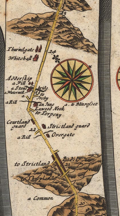 OG96Bm20.jpg In mile 20, Cumberland. Turning left:- "to Threpland" item:- JandMN : 22 Image © see bottom of page |
|||
|
|
||||
| evidence:- | old map:- Donald 1774 (Cmd) placename:- Threpland |
|||
| source data:- | Map, hand coloured engraving, 3x2 sheets, The County of Cumberland, scale about 1
inch to 1 mile, by Thomas Donald, engraved and published by Joseph Hodskinson, 29
Arundel Street, Strand, London, 1774.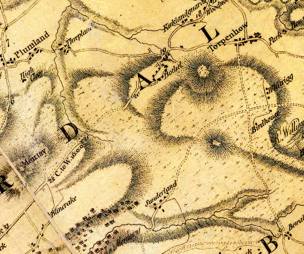 D4NY13NE.jpg "Threpland" block or blocks, labelled in lowercase; a hamlet or just a house item:- Carlisle Library : Map 2 Image © Carlisle Library |
|||
|
|
||||
| places:- |
|
|||
|
||||
|
||||
|
||||
|
||||
|
||||
 Lakes Guides menu.