 Old Cumbria Gazetteer
 |
 |
|
| Threapland Hall, Threapland | ||
| Threapland Hall | ||
| locality:- | Threapland | |
| civil parish:- | Bothel and Threapland (formerly Cumberland) | |
| county:- | Cumbria | |
| locality type:- | buildings | |
| coordinates:- | NY15673927 | |
| 1Km square:- | NY1539 | |
| 10Km square:- | NY13 | |
|
|
||
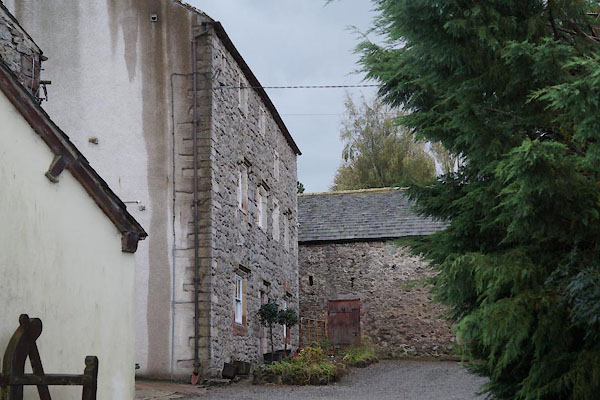 CBV64.jpg (taken 10.10.2014) |
||
|
|
||
| evidence:- | old map:- OS County Series (Cmd 36 13) placename:- Threapland Hall |
|
| source data:- | Maps, County Series maps of Great Britain, scales 6 and 25
inches to 1 mile, published by the Ordnance Survey, Southampton,
Hampshire, from about 1863 to 1948. |
|
|
|
||
| evidence:- | database:- Listed Buildings 2010 placename:- Threapland Hall item:- date stone (1709); 1700s |
|
| source data:- | courtesy of English Heritage "THREAPLAND HALL / / / BOTHEL AND THREAPLAND / ALLERDALE / CUMBRIA / II / 72345 / NY1568939273" |
|
|
|
||
| notes:- |
16th century hall |
|
| Perriam, D R &Robinson, J: 1998: Medieval Fortified Buildings of Cumbria: CWAAS::
ISBN 1 873124 23 6; plan and illustration |
||
|
|
||
 Lakes Guides menu.