


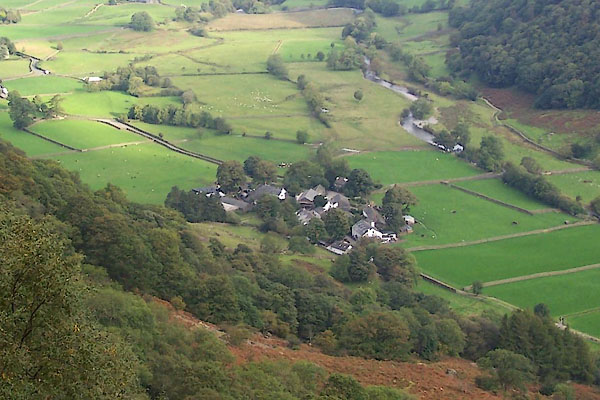
BTO69.jpg (taken 22.9.2010)
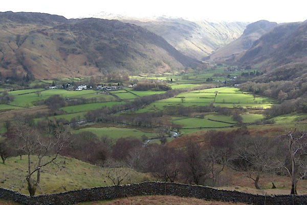
BWB03.jpg (taken 6.3.2012)
placename:- Stonethwaite
placename:- Stonethwaite
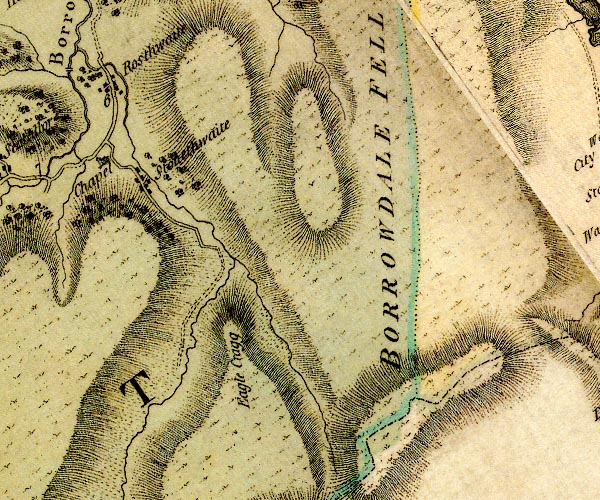
D4NY21SE.jpg
"Stonethwaite"
block or blocks, labelled in lowercase; a hamlet or just a house
item:- Carlisle Library : Map 2
Image © Carlisle Library
placename:- Stonethwaite
 click to enlarge
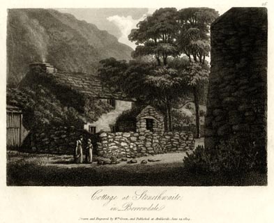
GN1626.jpg
Plate 26 from a series.
printed at bottom:- "Cottage at Stonethwaite, / in Borrowdale. / Drawn and Engraved by Wm. Green, and Published at Ambleside, June 24, 1804."
printed at top right:- "26"
item:- Armitt Library : 2014.175
Image © see bottom of page
placename:- Stonethwaite
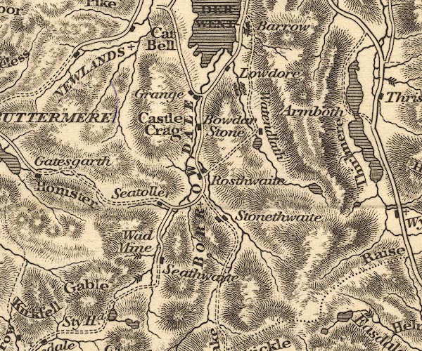
OT02NY21.jpg
item:- JandMN : 48.1
Image © see bottom of page
placename:- Stonethwaite
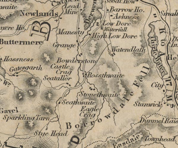
FD02NY21.jpg
"Stonethwaite"
item:- JandMN : 100.1
Image © see bottom of page
placename:- Stonethwaite
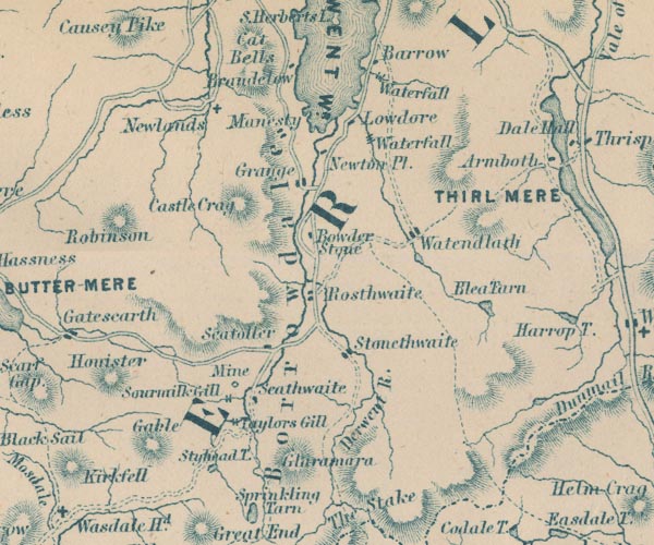
GAR2NY21.jpg
"Stonethwaite"
blocks, settlement
item:- JandMN : 82.1
Image © see bottom of page
placename:- Stonethwaite
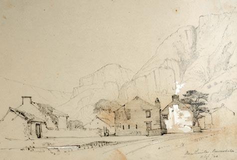 click to enlarge
PR1378.jpg
Group of Lakeland vernacular buildings in the foreground with hills in the background. Executed in pencil with touches of white gouache on buff coloured paper. Preparatory sketch drawn on the spot by the artist.
at bottom right:- "Stonethwaite. Borrowdale. 11 Sep/40"
item:- Tullie House Museum : 2009.89.21
Image © Tullie House Museum
placename:- Stonethwaite
 click to enlarge
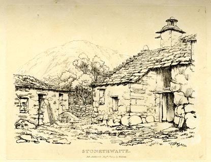
GN0305.jpg
Plate 5 in Seventy Eight Studies from Nature.
printed in introductory pages to set of prints:- "Number 5. Stonethwaite, in Borrowdale, is a village consisting of about twelve houses; it is seven miles from Keswick, and on the road to Langdale, over the Stake."
printed at bottom:- "STONETHWAITE. / Pub. Ambleside Augst. 1st. 1809, by W. Green."
item:- Armitt Library : A6637.5
Image © see bottom of page
placename:- Stonethwaite
 click to enlarge
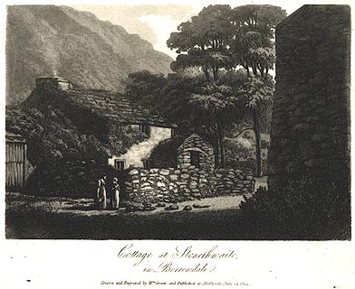
PR0454.jpg
printed at bottom:- "Cottage at Stonethwaite, / in Borrowdale. / Drawn and Engraved by Wm. Green, and Published at Ambleside, June 24, 1804."
item:- private collection : 118
Image © see bottom of page
placename:- Stonethwaite
 click to enlarge
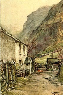
PR0072.jpg
Included in The Striding Dales by Halliwell Sutcliffe?
printed at lower right:- "[A R Smith]"
item:- Dove Cottage : 2008.107.72
Image © see bottom of page
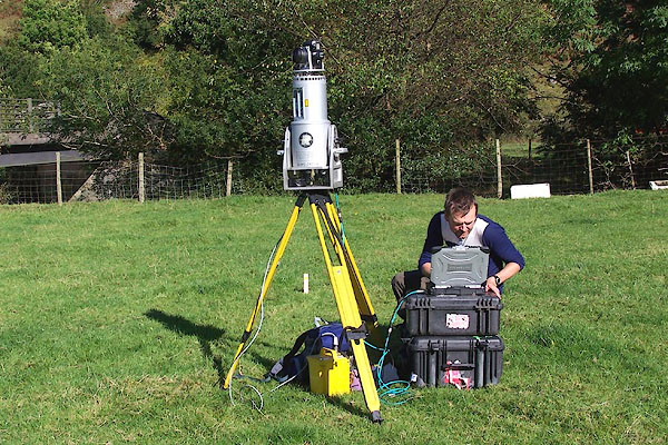
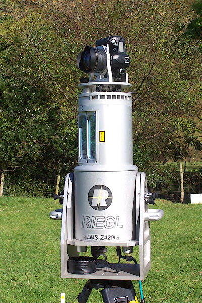
BOF90.jpg Surveyor from Durham University, making a detailed 3D topographical plan of the valley for planning flood control.
(taken 5.10.2007)
BOF91.jpg (taken 5.10.2007)
 |
NY261132 Broad Haystack (Borrowdale) |
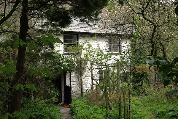 |
NY26291369 Cottage, The (Borrowdale) L |
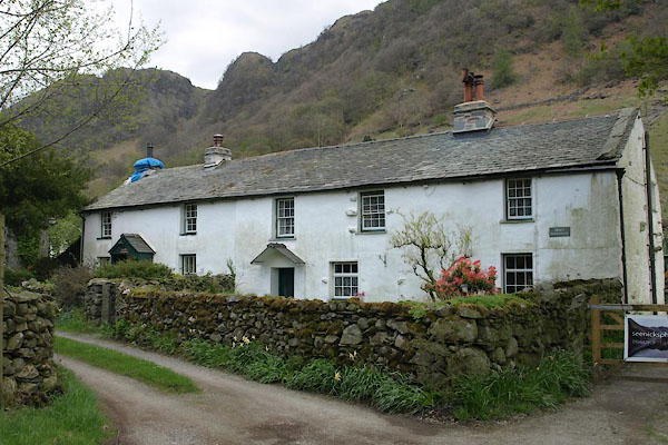 |
NY26211374 Croft Cottage (Borrowdale) L |
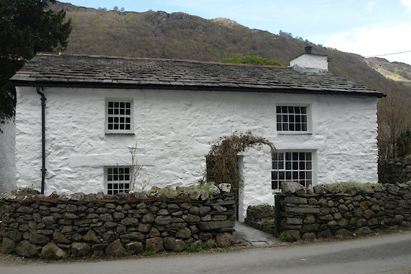 |
NY26261371 Fellside Cottage (Borrowdale) L |
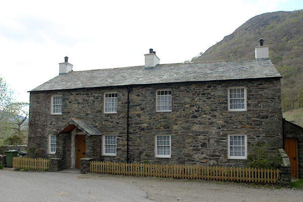 |
NY26241378 Greenup Corner (Borrowdale) L |
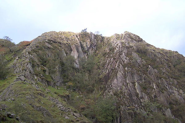 |
NY26421299 Hanging Haystack (Borrowdale) |
 |
NY26651393 Huddleston's Shop (Borrowdale) |
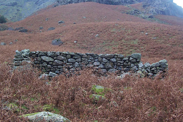 |
NY26411091 sheepfold, Borrowdale (9) (Borrowdale) |
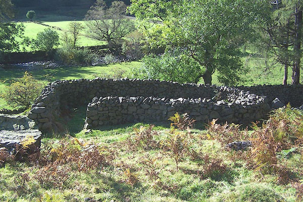 |
NY26551369 sheepfold, Stonethwaite (Borrowdale) |
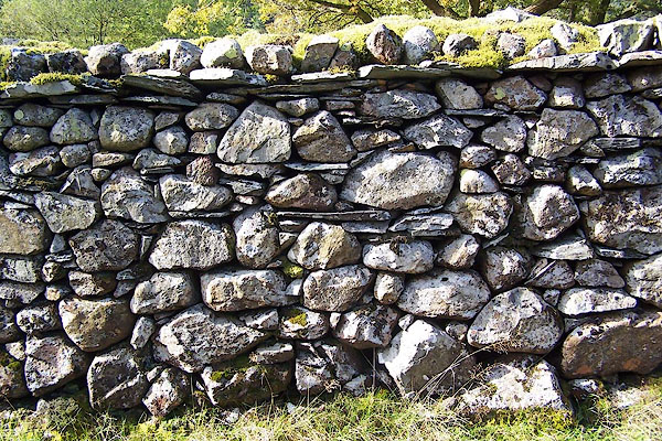 |
NY26121429 stone wall, Stonethwaite (Borrowdale) |
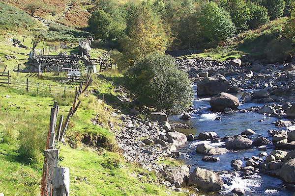 |
NY2614 Stonethwaite Beck (Borrowdale) |
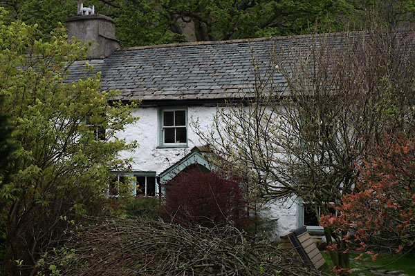 |
NY26301371 Stonethwaite Farm (Borrowdale) L |
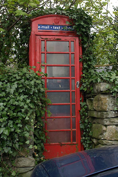 |
NY26251376 telephone box, Stonethwaite (Borrowdale) L |
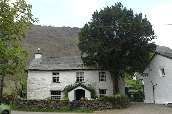 |
NY26251372 Yew Tree Farmhouse (Borrowdale) L |
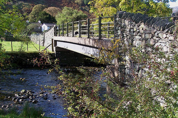 |
NY26331383 Stonethwaite Bridge (Borrowdale) |
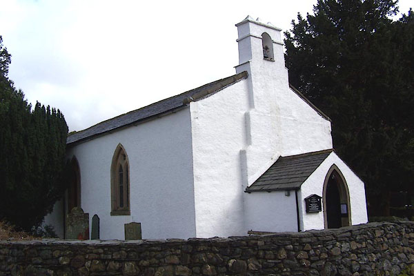 |
NY25791399 St Andrew's Church (Borrowdale) |
