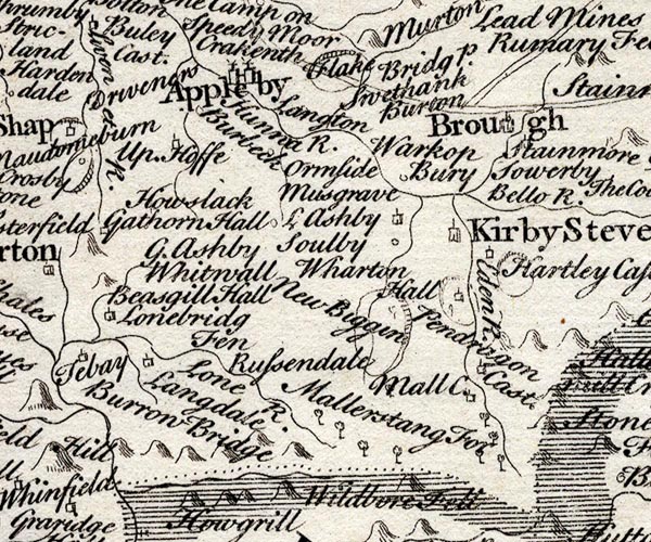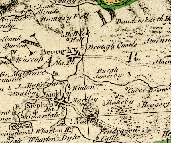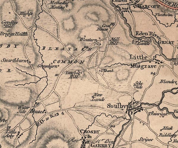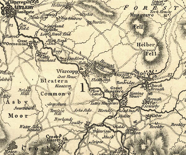
button to main menu  Old Cumbria Gazetteer
Soulby
civil parish:-   Soulby (formerly Westmorland)
county:-   Cumbria
locality type:-   locality
locality type:-   buildings
coordinates:-   NY74921103 (etc) 
1Km square:-   NY7411
10Km square:-   NY71


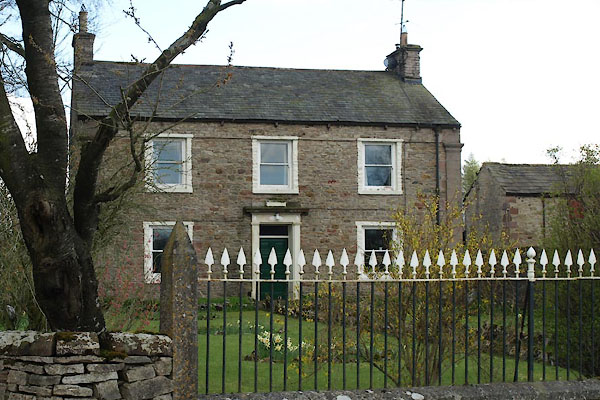
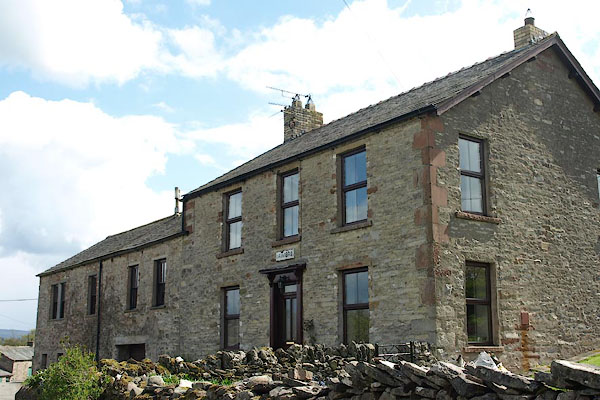
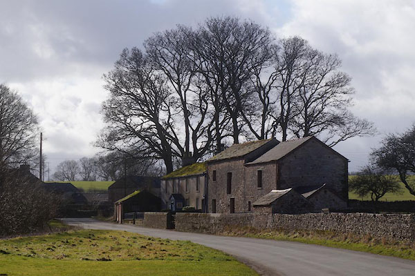
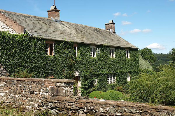
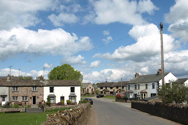
photograph
BSS85.jpg (taken 11.5.2010)  

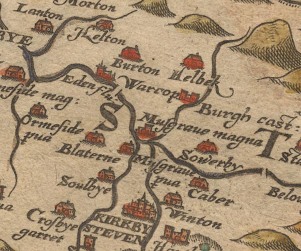
evidence:-   old map:- Saxton 1579
placename:-  Soulbye
source data:-   Map, hand coloured engraving, Westmorlandiae et Cumberlandiae Comitatus ie Westmorland and Cumberland, scale about 5 miles to 1 inch, by Christopher Saxton, London, engraved by Augustinus Ryther, 1576, published 1579-1645.
image
Sax9NY71.jpg
Building, symbol for a hamlet, which may or may not have a nucleus.  "Soulbye"
item:-  private collection : 2
Image © see bottom of page

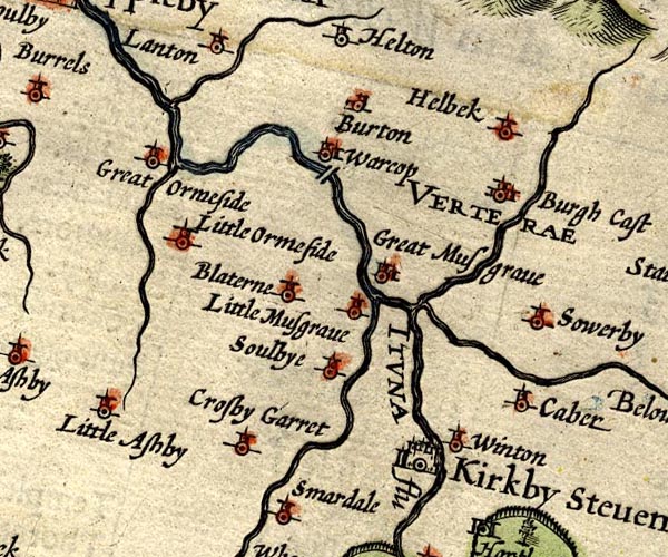
evidence:-   old map:- Speed 1611 (Wmd) 
placename:-  Soulbye
source data:-   Map, hand coloured engraving, The Countie Westmorland and Kendale the Cheif Towne, scale about 2.5 miles to 1 inch, by John Speed, 1610, published by George Humble, Popes Head Alley, London, 1611-12.
image
SP14NY71.jpg
"Soulbye"
circle, tower 
item:-  Armitt Library : 2008.14.5
Image © see bottom of page

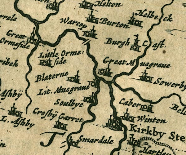
evidence:-   old map:- Jansson 1646
placename:-  Soulbye
source data:-   Map, hand coloured engraving, Cumbria and Westmoria, ie Cumberland and Westmorland, scale about 3.5 miles to 1 inch, by John Jansson, Amsterdam, Netherlands, 1646.
image
JAN3NY71.jpg
"Soulbye"
Buildings and tower. 
item:-  JandMN : 88
Image © see bottom of page

evidence:-   old map:- Seller 1694 (Wmd) 
placename:-  Soulbye
source data:-   Map, hand coloured engraving, Westmorland, scale about 8 miles to 1 inch, by John Seller, 1694.
image  click to enlarge
SEL7.jpg
"Soulbye"
circle, italic lowercase text; settlement or house 
item:-  Dove Cottage : 2007.38.87
Image © see bottom of page

evidence:-   old map:- Morden 1695 (Wmd) 
placename:-  Soulby
source data:-   Map, hand coloured engraving, Westmorland, scale about 2.5 miles to 1 inch, by Robert Morden, published by Abel Swale, the Unicorn, St Paul's Churchyard, Awnsham, and John Churchill, the Black Swan, Paternoster Row, London, 1695.
image
MD10NY71.jpg
"Soulby"
Circle, building and tower. 
item:-  JandMN : 24
Image © see bottom of page

evidence:-   old map:- Simpson 1746 map (Wmd) 
placename:-  Soulby
source data:-   Map, uncoloured engraving, Westmorland, scale about 8 miles to 1 inch, printed by R Walker, Fleet Lane, London, 1746.
image
SMP2NYQ.jpg
"Soulby"
Circle. 
item:-  Dove Cottage : 2007.38.59
Image © see bottom of page

evidence:-   old map:- Bowen and Kitchin 1760
placename:-  Soulby
source data:-   Map, hand coloured engraving, A New Map of the Counties of Cumberland and Westmoreland Divided into their Respective Wards, scale about 4 miles to 1 inch, by Emanuel Bowen and Thomas Kitchin et al, published by T Bowles, Robert Sayer, and John Bowles, London, 1760.
image
BO18NY71.jpg
"Soulby"
circle, tower 
item:-  Armitt Library : 2008.14.10
Image © see bottom of page

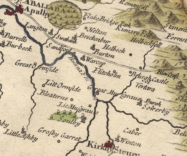
evidence:-   old map:- Jefferys 1770 (Wmd) 
placename:-  Soulby
source data:-   Map, 4 sheets, The County of Westmoreland, scale 1 inch to 1 mile, surveyed 1768, and engraved and published by Thomas Jefferys, London, 1770.
image
J5NY71SW.jpg
"Soulby"
blocks, labelled in upright lowercase text; settlement; town? 
item:-  National Library of Scotland : EME.s.47
Image © National Library of Scotland

evidence:-   old map:- Cary 1789 (edn 1805) 
placename:-  Soulby
source data:-   Map, uncoloured engraving, Westmoreland, scale about 2.5 miles to 1 inch, by John Cary, London, 1789; edition 1805.
image
CY24NY71.jpg
"Soulby"
block/s, and church, labelled in italic lowercase; house, or hamlet 
item:-  JandMN : 129
Image © see bottom of page

evidence:-   old map:- Cooper 1808
placename:-  Soulby
source data:-   Map, hand coloured engraving, Westmoreland ie Westmorland, scale about 9 miles to 1 inch, by H Cooper, 1808, published by R Phillips, Bridge Street, Blackfriars, London, 1808.
image  click to enlarge
COP4.jpg
"Soulby"
circle; village or hamlet 
item:-  Dove Cottage : 2007.38.53
Image © see bottom of page

evidence:-   old map:- Hall 1820 (Wmd) 
placename:-  Soulby
source data:-   Map, hand coloured engraving, Westmoreland ie Westmorland, scale about 14.5 miles to 1 inch, by Sidney Hall, London, 1820, published by Samuel Leigh, 18 Strand, London, 1820-31.
image  click to enlarge
HA18.jpg
"Soulby"
circle, italic lowercase text; settlement 
item:-  Armitt Library : 2008.14.58
Image © see bottom of page

evidence:-   old map:- Ford 1839 map
placename:-  Soulby
source data:-   Map, uncoloured engraving, Map of the Lake District of Cumberland, Westmoreland and Lancashire, scale about 3.5 miles to 1 inch, published by Charles Thurnam, Carlisle, and by R Groombridge, 5 Paternoster Row, London, 3rd edn 1843.
image
FD02NY70.jpg
"Soulby"
item:-  JandMN : 100.1
Image © see bottom of page

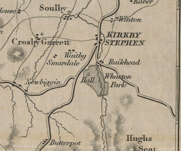
evidence:-   old map:- Garnett 1850s-60s H
placename:-  Soulby
source data:-   Map of the English Lakes, in Cumberland, Westmorland and Lancashire, scale about 3.5 miles to 1 inch, published by John Garnett, Windermere, Westmorland, 1850s-60s.
image
GAR2NY42.jpg
"Soulby"
blocks, settlement 
item:-  JandMN : 82.1
Image © see bottom of page

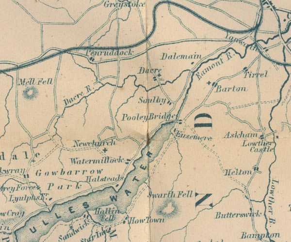
evidence:-   old map:- Post Office 1850s-1900s
placename:-  Soulby
source data:-   Post road maps, General Post Office Circulation Map for England and Wales, for the General Post Office, London, 1850s-1900s.
image  click to enlarge
POF7Cm.jpg
"Soulby"
map date 1909 

evidence:-   old map:- Post Office 1850s-1900s
placename:-  Soulby
source data:-   Post road maps, General Post Office Circulation Map for England and Wales, for the General Post Office, London, 1850s-1900s.
image  click to enlarge
PF10Cm.jpg
"Soulby"
map date 1892 

:-  
images courtesy of the British Postal Museum and Hampshire CC Museums


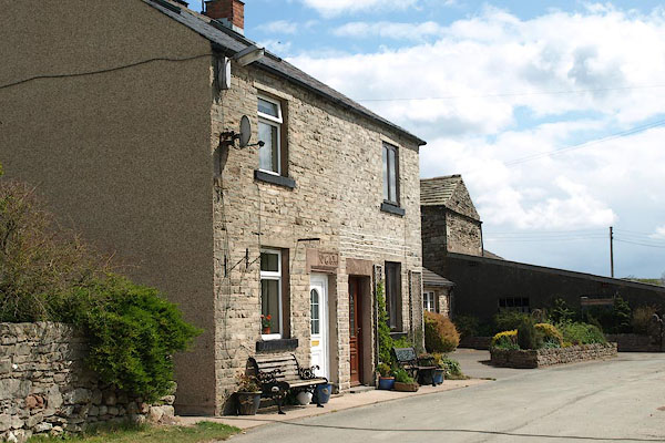
photograph
CCL05.jpg "TELEPHONE" (taken 17.2.2015)  
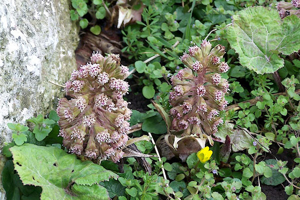
photograph
BNM20.jpg  Butterbur, Petasites hybridus, by the Scandal Beck.
(taken 30.3.2007)  
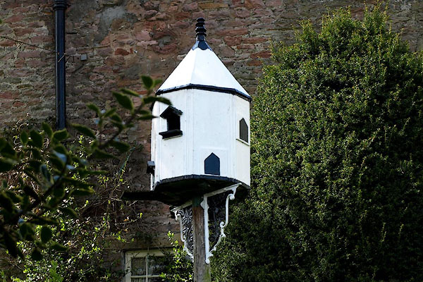
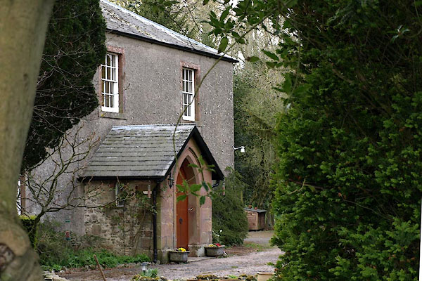
photograph
BSS80.jpg  Dovecote
(taken 11.5.2010)  

notes:-  
A german bomb fell in a field about a quarter of a mile outside the village, World War II, 1941.

places:-  
NY74771075 Belsey Gate Farm (Soulby) L
NY74951128 Bonnygate (Soulby)
NY46512553 Carthanet (Dacre) L
NY46312528 Lakeland Mouldings (Dacre)
NY45982476 Green Flat (Dacre) L
NY74991088 house, Soulby (Soulby)
NY75001100 house, Soulby (2) (Soulby)
NY74801087 house, Soulby (3) (Soulby)
NY74821077 Hutton Lodge (Soulby) L
NY74741054 Mill Lane (Soulby)
NY74661104 pinfold, Soulby (Soulby) gone
NY46092489 Rose Hill (Dacre) L
NY75231092 Row End (Soulby)
NY46612570 Soulandsgate (Dacre) L
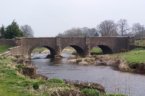
NY74941095 Soulby Bridge (Soulby) L
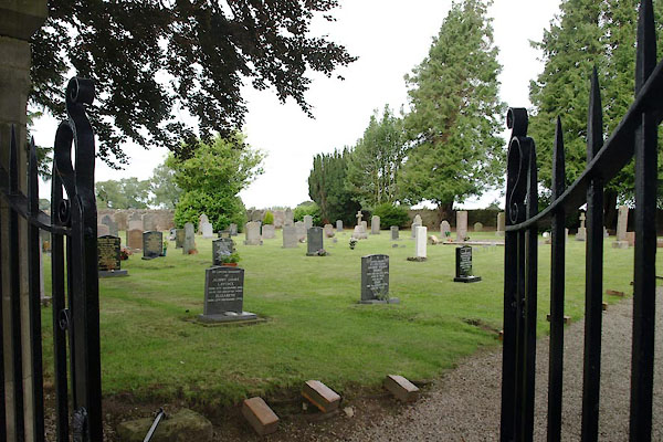
NY75261109 Soulby Cemetery (Soulby)
NY74741107 Soulby Fold (Soulby)
NY74791112 Soulby Hall (Soulby)
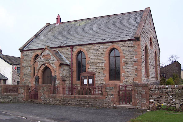
NY74901108 Soulby Methodist Church (Soulby)
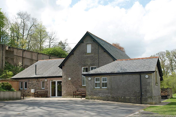
NY74881089 Soulby Village Hall (Soulby)
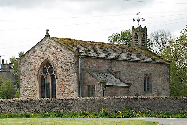
NY74841110 St Luke's Church (Soulby) L
NY46222504 Todd Farm (Dacre) L
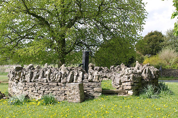
NY74881097 village pump, Soulby (Soulby) L
NY46232509 Waterfoot Farm (Dacre) L
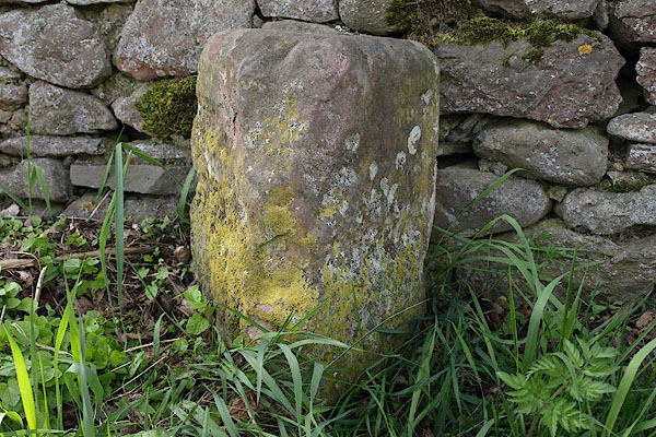
NY74981064 milestone, Soulby (2) (Soulby)
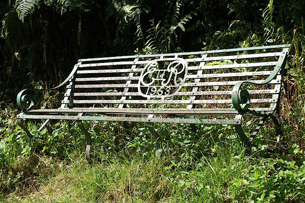
NY46432542 seat, Dacre (Dacre)
button to lakes menu  Lakes Guides menu.