


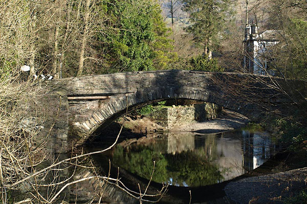
BOQ99.jpg (taken 15.2.2008)
placename:- Rothay Bridge
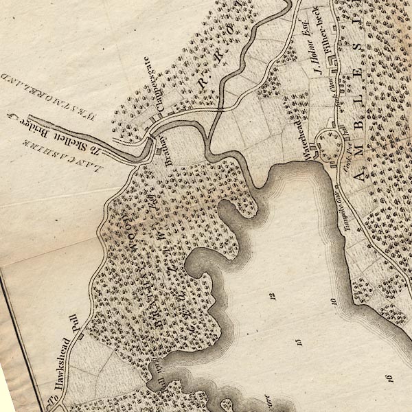
CLANY30R.jpg
item:- private collection : 10.10
Image © see bottom of page
 click to enlarge
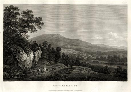
FA0116.jpg
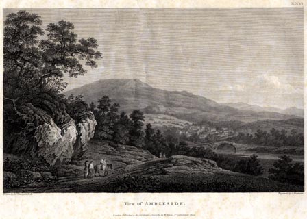
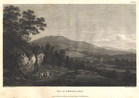
printed, bottom, left, right and centre "Drawn by Josh. Farington, R.A. / Engraved by T. Medland. / View of AMBLESIDE. / London: Published as the Act directs, 1 Jany. 1789, by W. Byrne, No.79, Titchfield Street."
item:- Armitt Library : A6669.16
Image © see bottom of page
placename:- Rothay Bridge
 click to enlarge
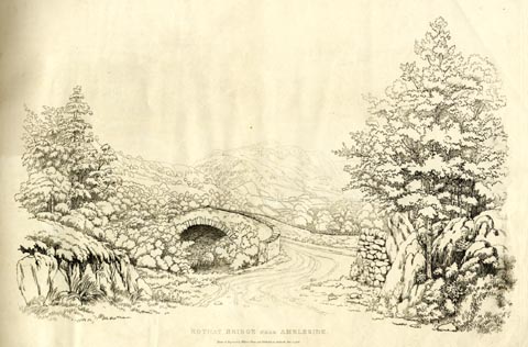
GN1204.jpg
Plate 4 in Sixty Studies from Nature, 1810.
printed at top right:- "4"
printed at bottom:- "ROTHAY BRIDGE NEAR AMBLESIDE. / Drawn and Engraved by William Green, and Published at Ambleside, June 24, 1808."
watermark:- "J WHATMAN / 1813"
item:- Armitt Library : A6641.4
Image © see bottom of page
 click to enlarge
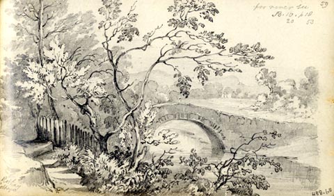
AS0265.jpg
"from Rothay / Cottage"
and page number "58 / for river see / B.10. p 18 / 20 53"
item:- Armitt Library : 1958.488.65
Image © see bottom of page
 click to enlarge
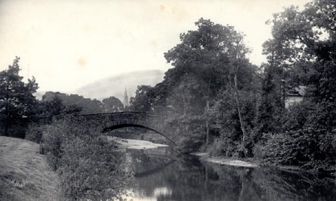
PI03M1.jpg
double line over a stream
item:- private collection : 133.1
Image © see bottom of page
 click to enlarge
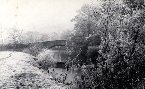
HB0202.jpg
stamped at rev:- "HERBERT BELL / Photographer / AMBLESIDE"
internegative at lower left:- "H. Bell"
item:- Armitt Library : ALPS21
Image © see bottom of page
item:- frost
 click to enlarge
HB0203.jpg
stamped at rev:- "HERBERT BELL / Photographer / AMBLESIDE"
item:- Armitt Library : ALPS22
Image © see bottom of page
placename:- Rothay Bridge
courtesy of English Heritage
"ROTHAY BRIDGE / / ROTHAY ROAD / LAKES / SOUTH LAKELAND / CUMBRIA / II / 451894 / NY3721903893"
courtesy of English Heritage
"Date uncertain. Built of slate in dry stone walling technique, with flat slate slabs at a parapet. Single segmental arch with low flood arches at sides. Part also in Rydal and Loughrigg."
placename:- Rothay Bridge
 click to enlarge
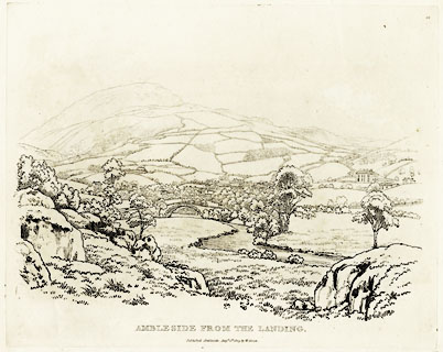
GN0342.jpg
Plate 42 in Seventy Eight Studies from Nature.
printed in introductory pages to set of prints:- "Number 42. This view of Ambleside is from a lime-kiln near the junction of the rivers Brathay and Rothay; a place where pleasure-boats for the use of the lake are moored. Langdale slate is sent in small craft from the landing to the foot of the lake, whence it is taken below Backbarrow, to be conveyed by water to Liverpool, Manchester, and other places. The Bridge in this view is across the Rothay, and is called Rothay Bridge. The high mountain is Scandale Fell."
printed at bottom:- "AMBLESIDE FROM THE LANDING. / Published Ambleside, Augst. 1st. 1809, by W. Green."
item:- Armitt Library : A6637.42
Image © see bottom of page
 click to enlarge
PR1802.jpg
printed, top right "No.XVI"
printed, bottom, left, right and centre "Drawn by Josh. Farington, R.A. / Engraved by T. Medland. / View of AMBLESIDE. / London: Published as the Act directs, 1 Jany. 1789, by W. Byrne, No.79, Titchfield Street."
item:- Armitt Library : 1959.104
Image © see bottom of page
 click to enlarge
BMZ13.jpg
Presumably Rothay Bridge in the foreground, Scandale fell in the background?
Plate 16 from Views of the Lakes, &c, in Cumberland and Westmorland, published 1789.
item:- Dove Cottage : Lowther.14
Image © see bottom of page

 Lakes Guides menu.