 Old Cumbria Gazetteer
 |
 |
|
| Penruddock Station, Penruddock | ||
| Penruddock Station | ||
| site name:- | Cockermouth, Keswick and Penrith Railway | |
| locality:- | Penruddock | |
| civil parish:- | Hutton (formerly Cumberland) | |
| county:- | Cumbria | |
| locality type:- | railway station | |
| coordinates:- | NY42582797 | |
| 1Km square:- | NY4227 | |
| 10Km square:- | NY42 | |
| SummaryText:- | Opened 1865; closed 1972. | |
|
|
||
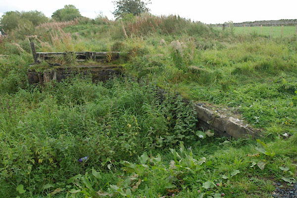 BTP21.jpg Traces, goods platform? etc (taken 5.10.2010) |
||
|
|
||
| evidence:- | old map:- OS County Series (Cmd 58 9) placename:- Penruddock Station item:- railway signal; railway bridge; weighing machine; crane |
|
| source data:- | Maps, County Series maps of Great Britain, scales 6 and 25
inches to 1 mile, published by the Ordnance Survey, Southampton,
Hampshire, from about 1863 to 1948.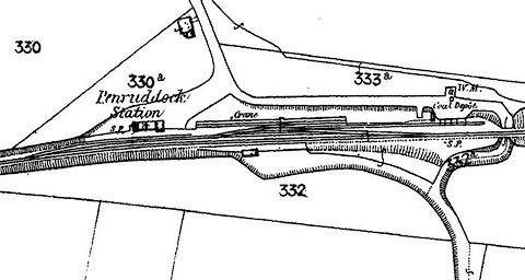 click to enlarge click to enlargeCSRY0079.jpg "Penruddock Station / Coal Depot / S.P. / Crane / W.M." |
|
|
|
||
| evidence:- | old map:- Postlethwaite 1877 (3rd edn 1913) |
|
| source data:- | Map, uncoloured engraving, Map of the Lake District Mining Field, Westmorland, Cumberland,
Lancashire, scale about 5 miles to 1 inch, by John Postlethwaite, published by W H
Moss and Sons, 13 Lowther Street, Whitehaven, Cumberland, 1877 edn 1913.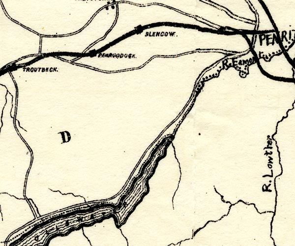 PST2NY42.jpg "PENRUDDOCK" station on railway item:- JandMN : 162.2 Image © see bottom of page |
|
|
|
||
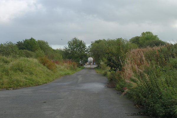 BTP22.jpg View E. (taken 5.10.2010) |
||
|
|
||
| observation:- |
No station building found. There is an estate of new houses on the site, 5.10.2010. |
|
|
|
||
 Lakes Guides menu.