


placename:- Moorhouse
placename:- Murr House
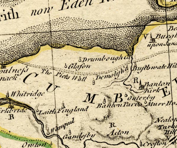
BO18NY25.jpg
"Murr Ho."
circle and line
item:- Armitt Library : 2008.14.10
Image © see bottom of page
placename:- Moorhouse
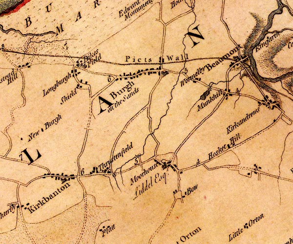
D4NY35NW.jpg
"Moorhouse"
block or blocks, labelled in lowercase; a hamlet or just a house
item:- Carlisle Library : Map 2
Image © Carlisle Library
placename:- Moorhouse
 click to enlarge
COP3.jpg
"Moorhouse"
circle; village or hamlet
item:- JandMN : 86
Image © see bottom of page
placename:- Moorhouse
 click to enlarge
HA14.jpg
"Moorhouse"
circle, italic lowercase text; settlement
item:- JandMN : 91
Image © see bottom of page
placename:- Moorhouse
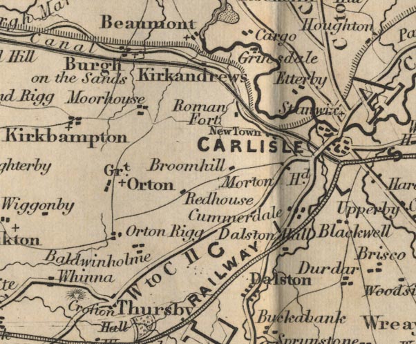
FD02NY35.jpg
"Moorhouse"
item:- JandMN : 100.1
Image © see bottom of page
placename:- Moorhouse
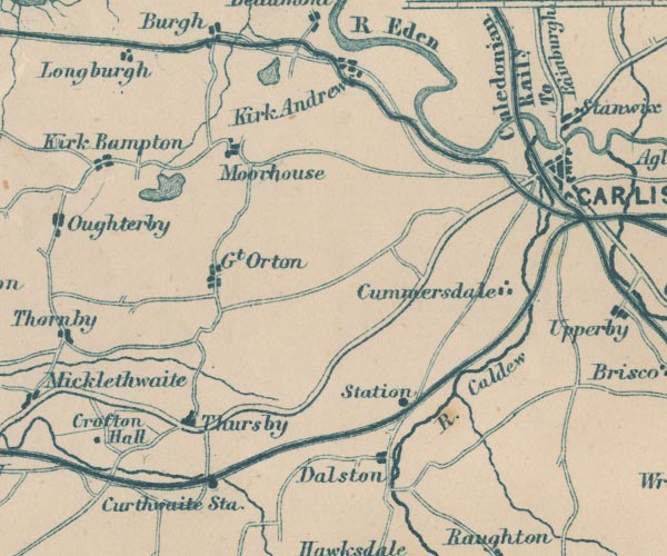
GAR2NY35.jpg
"Moorhouse"
blocks, settlement
item:- JandMN : 82.1
Image © see bottom of page
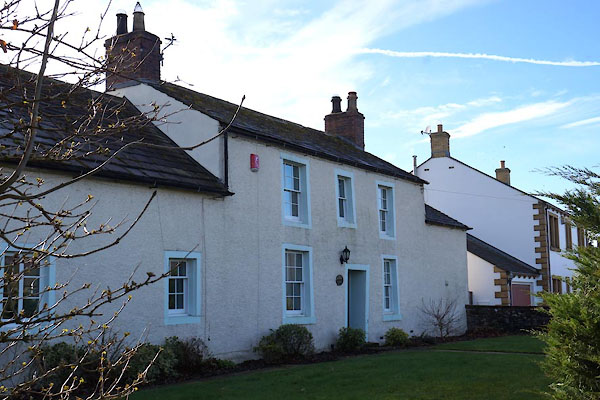 |
NY33305678 Fairfield (Burgh by Sands) L |
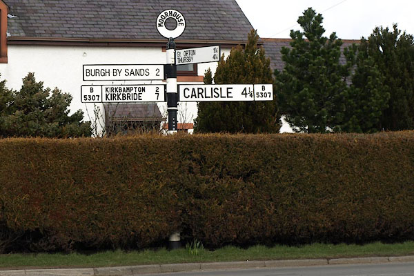 |
NY33505668 fingerpost, Moorhouse (Burgh by Sands) |
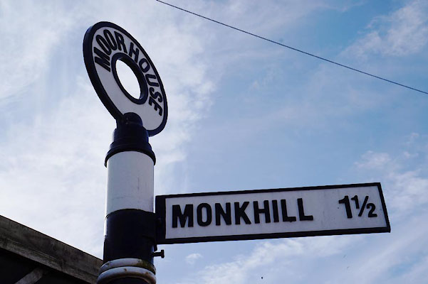 |
NY33265681 fingerpost, Moorhouse (2) (Burgh by Sands) |
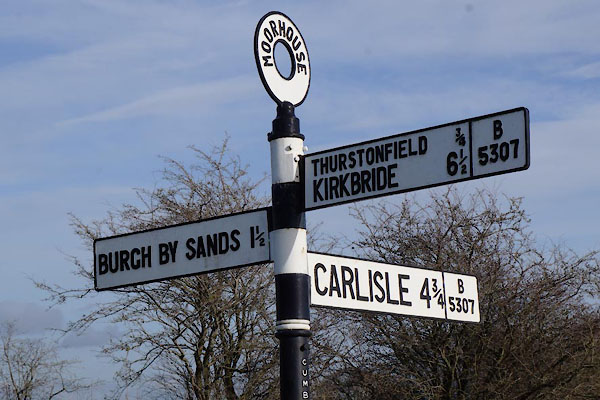 |
NY32905697 fingerpost, Moorhouse (3) (Burgh by Sands) |
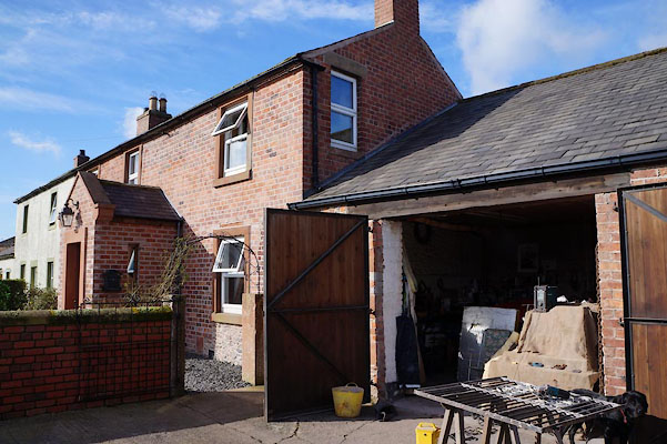 |
NY33485671 Forge, The (Burgh by Sands) |
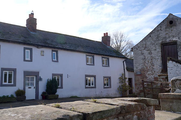 |
NY33215675 Hall (Burgh by Sands) L |
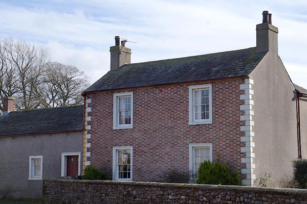 |
NY33075679 house, Moorhouse (Burgh by Sands) L |
 |
NY33085677 house, Moorhouse (2) (Burgh by Sands) L |
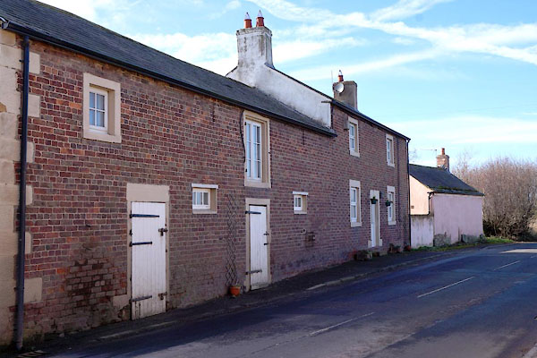 |
NY33035683 house, Moorhouse (3) (Burgh by Sands) |
 |
NY32875696 Longwath (Burgh by Sands) |
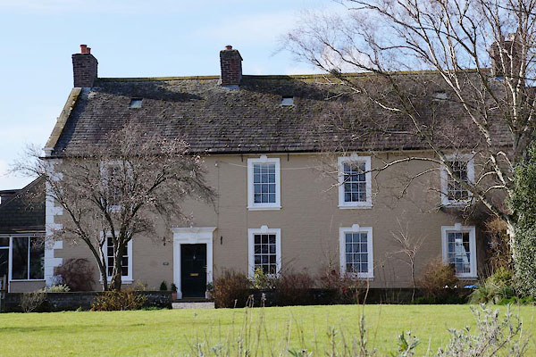 |
NY33475660 Low Moor House (Burgh by Sands) L |
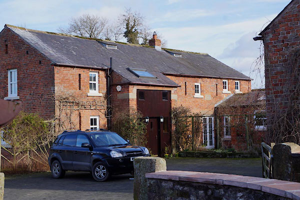 |
NY33085684 Low Moorhouse Fauld (Burgh by Sands) |
 |
NY33315698 Moorhouse Green (Burgh by Sands) |
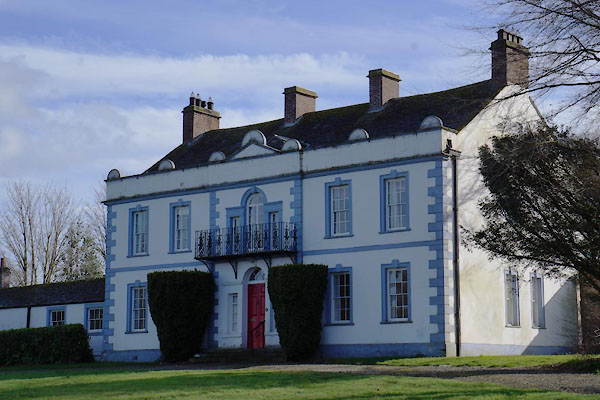 |
NY33165674 Moorhouse Hall (Burgh by Sands) L |
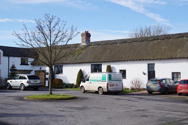 |
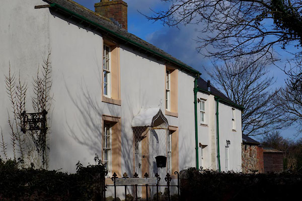
NY32985680 Old Thatched Barn (Burgh by Sands) L |
 |
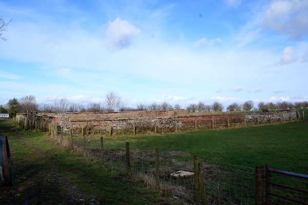
NY33405677 Orchard Farm (Burgh by Sands) |
 |
NY33585674 quaker burial ground, Moorhouse (Burgh by Sands) |
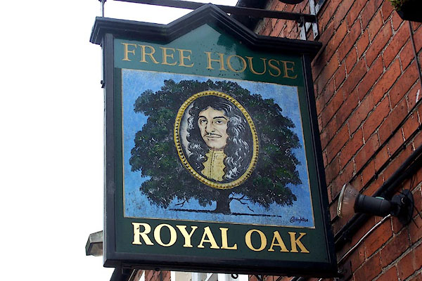 |
NY33215682 Royal Oak (Burgh by Sands) |
 |
NY33365697 school, Moorhouse (Burgh by Sands) gone |
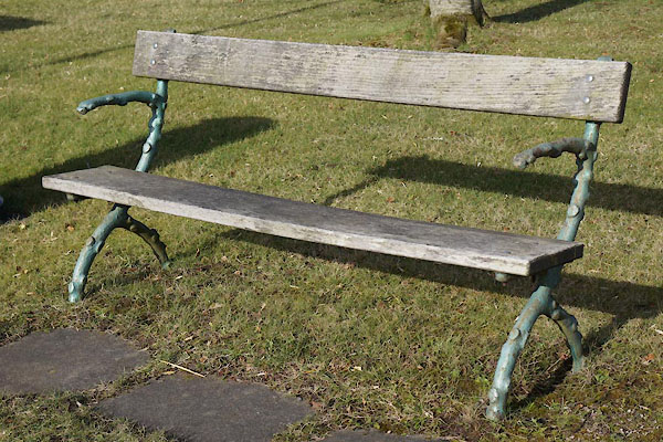 |
NY33365678 seat, Moorhouse (Burgh by Sands) |
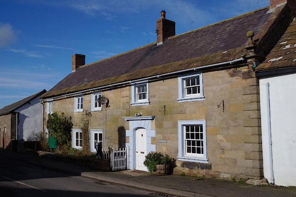 |
NY33095680 Stonehouse (Burgh by Sands) L |
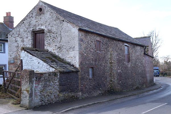 |
NY33245680 barn, Moorhouse (Burgh by Sands) |
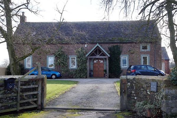 |
NY33565667 Moorhouse Meeting House (Burgh by Sands) L |
