 |
 |
   |
|
|
|
Millbeck |
| locality:- |
Great Langdale |
| civil parish:- |
Lakes (formerly Westmorland) |
| county:- |
Cumbria |
| locality type:- |
locality |
| coordinates:- |
NY29500661 |
| 1Km square:- |
NY2906 |
| 10Km square:- |
NY20 |
|
|
|
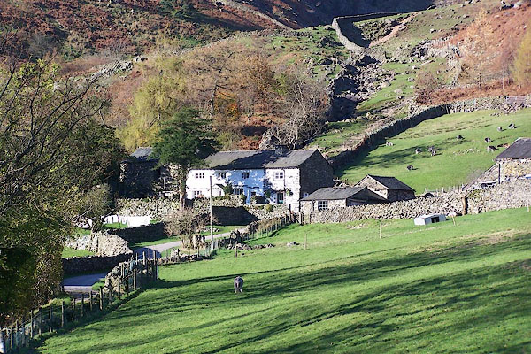
BLK22.jpg (taken 17.11.2005)
|
|
|
| evidence:- |
old map:- OS County Series (Wmd 25 3)
placename:- Millbeck
|
| source data:- |
Maps, County Series maps of Great Britain, scales 6 and 25
inches to 1 mile, published by the Ordnance Survey, Southampton,
Hampshire, from about 1863 to 1948.
|
|
|
| evidence:- |
old map:- Jefferys 1770 (Wmd)
placename:- Mill Becks
|
| source data:- |
Map, 4 sheets, The County of Westmoreland, scale 1 inch to 1
mile, surveyed 1768, and engraved and published by Thomas
Jefferys, London, 1770.
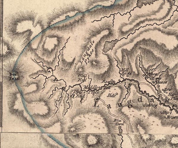
J5NY20NE.jpg
"Mill Becks"
circle, labelled in italic lowercase text; settlement, farm, house, or hamlet?
item:- National Library of Scotland : EME.s.47
Image © National Library of Scotland |
|
|
| evidence:- |
old map:- Cary 1789 (edn 1805)
placename:- Mill Reeks
|
| source data:- |
Map, uncoloured engraving, Westmoreland, scale about 2.5 miles
to 1 inch, by John Cary, London, 1789; edition 1805.
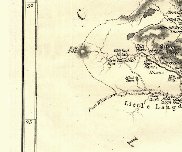
CY24NY20.jpg
"Mill Reeks"
block/s, labelled in italic lowercase; house, or hamlet
item:- JandMN : 129
Image © see bottom of page
|
|
|
| evidence:- |
old map:- Otley 1818
placename:- Milbeck
|
| source data:- |
Map, uncoloured engraving, The District of the Lakes,
Cumberland, Westmorland, and Lancashire, scale about 4 miles to
1 inch, by Jonathan Otley, 1818, engraved by J and G Menzies,
Edinburgh, Scotland, published by Jonathan Otley, Keswick,
Cumberland, et al, 1833.
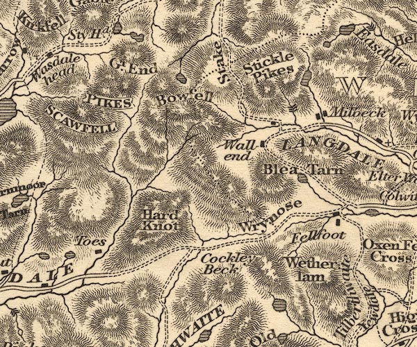
OT02NY20.jpg
item:- JandMN : 48.1
Image © see bottom of page
|
|
|
| evidence:- |
descriptive text:- Otley 1823 (5th edn 1834)
|
| source data:- |
Guide book, A Concise Description of the English Lakes, the
mountains in their vicinity, and the roads by which they may be
visited, with remarks on the mineralogy and geology of the
district, by Jonathan Otley, published by the author, Keswick,
Cumberland now Cumbria, by J Richardson, London, and by Arthur
Foster, Kirkby Lonsdale, Cumbria, 1823; published 1823-49,
latterly as the Descriptive Guide to the English Lakes.
 goto source goto source
Page 104:- "... Mill Beck is the stream flowing from Stickle Tarn, and gives name to two farm-houses,
at one of which it may be convenient to leave the horses, while visiting Dungeon Gill.
..."
|
|
|
| evidence:- |
old map:- Garnett 1850s-60s H
placename:- Millbeck
|
| source data:- |
Map of the English Lakes, in Cumberland, Westmorland and
Lancashire, scale about 3.5 miles to 1 inch, published by John
Garnett, Windermere, Westmorland, 1850s-60s.
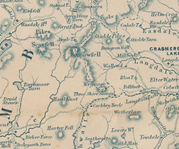
GAR2NY20.jpg
"Millbeck"
block, building
item:- JandMN : 82.1
Image © see bottom of page
|
|
|
| evidence:- |
old text:- Martineau 1855
placename:- Milbeck
|
| source data:- |
Guide book, A Complete Guide to the English Lakes, by Harriet
Martineau, published by John Garnett, Windermere, Westmorland,
and by Whittaker and Co, London, 1855; published 1855-76.
 goto source goto source
Page 146:- "... Four miles from the top of the Stake will bring him down to Langdale Head; and
two miles more, to the farmhouse of Milbeck."
"From that farmhouse, where travellers can make a good meal of farmhouse fare, there
is one thing to be done without doubt;- to visit Dungeon Ghyll. As for the rest, this
house is the point of departure in various directions, ..."
"Strangers who arrive untired generally go to the Ghyll while their ham and eggs are
preparing. ..."
|
|
|
| evidence:- |
database:- Listed Buildings 2010
placename:- Millbeck Farm
|
| source data:- |
courtesy of English Heritage
"MILLBECK FARMHOUSE WITH ATTACHED FARM BUILDING / / / LAKES / SOUTH LAKELAND / CUMBRIA
/ II / 452284 / NY2950406614"
|
|
|
| evidence:- |
old print:- Rose 1832-35
placename:- Mill Beck, Great Langdale
|
| source data:- |
Print, engraving, Mill Beck, Great Langdale, by Thomas Allom, engraved, by S Bradshaw,
1835.
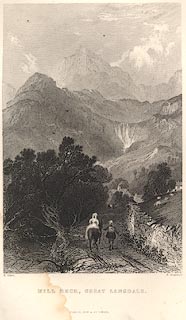 click to enlarge click to enlarge
R330.jpg
item:- JandMN : 66.11
Image © see bottom of page
|
|
|


 goto source
 goto source
 click to enlarge