 Old Cumbria Gazetteer
 |
 |
|
| Metal Bridge, Metalbridge | ||
| Metal Bridge | ||
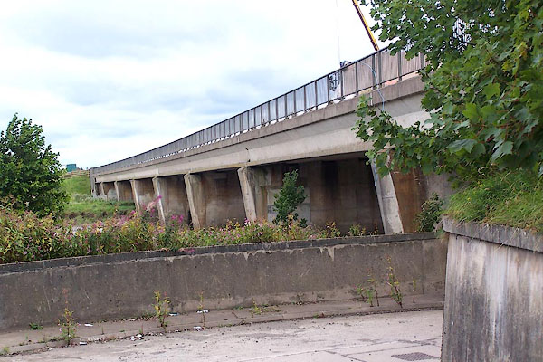
| Esk Bridge | ||
| site name:- | Esk, River | |
| site name:- | A74(M), Carlisle to Gretna | |
| locality:- | Metalbridge | |
| civil parish:- | Rockcliffe (formerly Cumberland) | |
| civil parish:- | Kirkandrews (formerly Cumberland) | |
| county:- | Cumbria | |
| locality type:- | motorway bridge | |
| locality type:- | bridge | |
| coordinates:- | NY35486491 | |
| 1Km square:- | NY3564 | |
| 10Km square:- | NY36 | |
|
|
||
 BOA87.jpg (taken 31.8.2007) 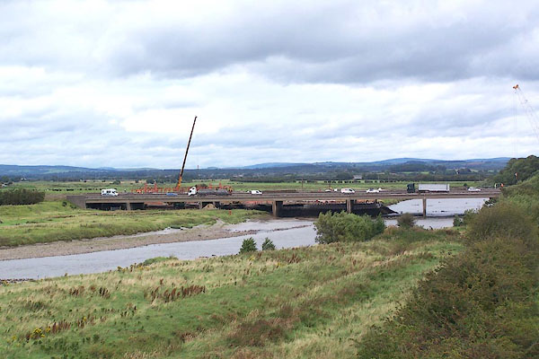 BOA89.jpg (taken 31.8.2007) |
||
|
|
||
| evidence:- | old map:- Bell 1892 placename:- Metal Bridge |
|
| source data:- | Map, colour lithograph, Road Map of Cumberland, by George Joseph
Bell, scale about 2.5 miles to 1 inch, printed by Charles
Thurnam and Sons, Carlisle, Cumberland, 1892.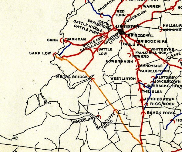 BEL9NY36.jpg "METAL BRIDGE" bridge symbol Road map of Cumberland showing County Bridges item:- Carlisle Library : Map 38 Image © Carlisle Library |
|
|
|
||
| evidence:- | possibly (earlier?) old map:- Burrow 1920s |
|
| source data:- | Road book, On the Road, Dunlop Pictorial Road Plans, volume V,
strip maps with parts in Westmorland, Cumberland etc, irregular
scale about 1.5 miles to 1 inch, by E J Burrow and Co,
Cheltenham, Gloucestershire, 1920s.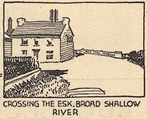 EJB3Vg63.jpg item:- private collection : 17 Image © see bottom of page |
|
|
|
||
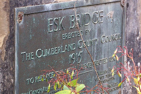 BOA88.jpg Notice nearby:- "ESK BRIDGE . ERECTED BY / THE CUMBERLAND COUNTY COUNCIL / 1915 / TO REPLACE THE METAL BRIDGE ERECTED 1820 / ..." (taken 31.8.2007) 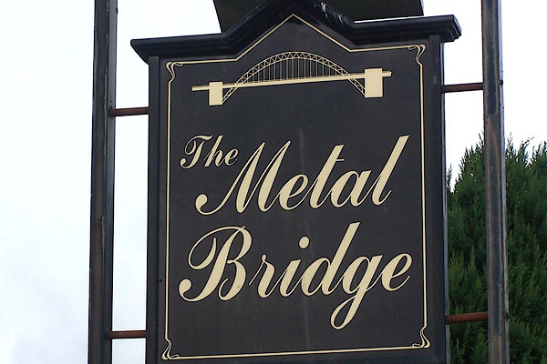 BOA86.jpg Innsign near the Metal Bridge, an earlier metal bridge. (taken 31.8.2007) |
||
|
|
||
 Lakes Guides menu.