 |
 |
|
|
|
|
Metalbridge |
| civil parish:- |
Rockcliffe (formerly Cumberland) |
| county:- |
Cumbria |
| locality type:- |
locality |
| locality type:- |
buildings |
| coordinates:- |
NY35556483 (etc) |
| 1Km square:- |
NY3564 |
| 10Km square:- |
NY36 |
|
|
| evidence:- |
old map:- OS County Series (Cmd 10 13)
placename:- Metalbridge
|
| source data:- |
Maps, County Series maps of Great Britain, scales 6 and 25
inches to 1 mile, published by the Ordnance Survey, Southampton,
Hampshire, from about 1863 to 1948.
|
|
|
| places:- |
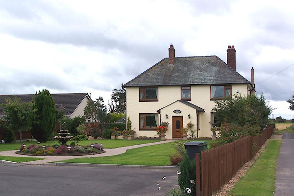 |
NY35526477 Metalbridge House (Rockcliffe) |
|
|
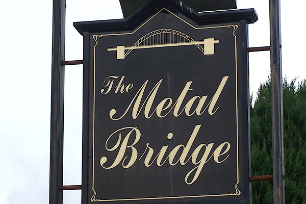 |
NY355648 Metal Bridge, The (Rockcliffe) |
|
|
 |
NY356648 pillbox, Metalbridge (Rockcliffe) |
|
|
|
NY35556471 police house, Metalbridge (Rockcliffe) |
|
|
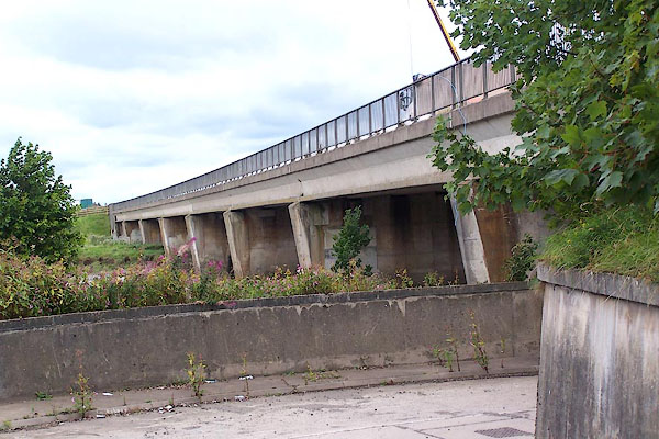 |
NY35486491 Metal Bridge (Rockcliffe / Kirkandrews) |
|
