 |
 |
   |
|
|
|
Low Row |
|
|
| civil parish:- |
Bromfield (formerly Cumberland) |
| county:- |
Cumbria |
| locality type:- |
locality |
| locality type:- |
buildings |
| coordinates:- |
NY19054496 (etc) |
| 1Km square:- |
NY1944 |
| 10Km square:- |
NY14 |
|
|
| evidence:- |
old map:- OS County Series (Cmd 28 15)
placename:- Low Row
placename:- Row, Low
|
| source data:- |
Maps, County Series maps of Great Britain, scales 6 and 25
inches to 1 mile, published by the Ordnance Survey, Southampton,
Hampshire, from about 1863 to 1948.
|
|
|
| evidence:- |
old map:- Donald 1774 (Cmd)
placename:- Lowrow
|
| source data:- |
Map, hand coloured engraving, 3x2 sheets, The County of Cumberland, scale about 1
inch to 1 mile, by Thomas Donald, engraved and published by Joseph Hodskinson, 29
Arundel Street, Strand, London, 1774.
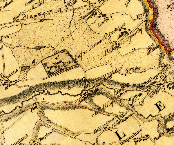
D4NY14SE.jpg
"Lowrow"
block or blocks, labelled in lowercase; a hamlet or just a house
item:- Carlisle Library : Map 2
Image © Carlisle Library |
|
|
| places:- |
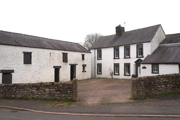 |
NY58706351 Beckstonegate (Nether Denton) L |
|
|
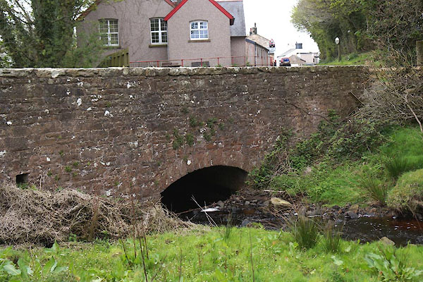 |
NY58556289 bridge, Low Row (Nether Denton) |
|
|
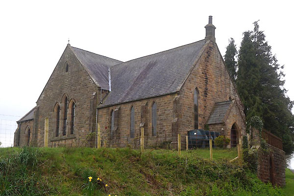 |
NY58666340 Chapel House (Nether Denton) |
|
|
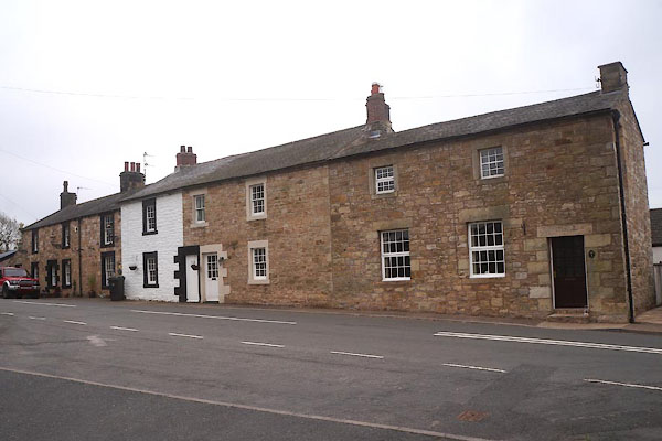 |
NY58506299 Dairy Cottages (Nether Denton) L |
|
|
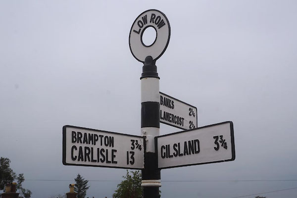 |
NY58476308 fingerpost, Low Row (Nether Denton) |
|
|
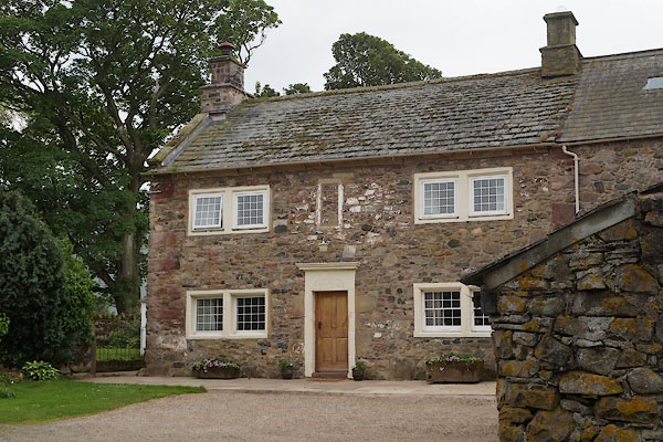 |
NY35833627 Haltcliff House (Caldbeck) L |
|
|
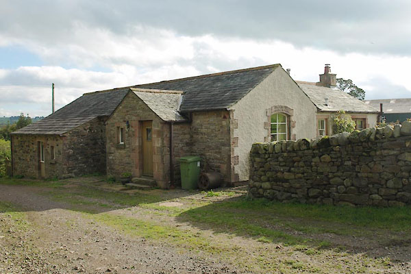 |
NY35803640 Haltcliff School Cottage (Caldbeck) |
|
|
 |
NY35593639 Harrison House (Caldbeck) |
|
|
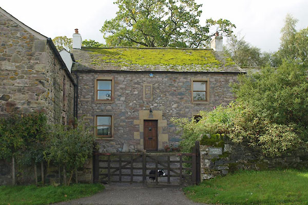 |
NY36083638 Lonning Foot (Caldbeck) |
|
|
 |
NY35823647 Lonning Head (Caldbeck) |
|
|
 |
NY18894487 Low Row Farm (Bromfield) |
|
|
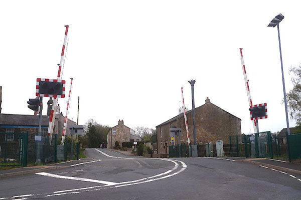 |
NY58476305 Low Row Level Crossing (Nether Denton) |
|
|
 |
NY19064490 Low Row Station (Bromfield) gone |
|
|
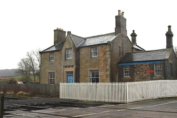 |
NY58506307 Low Row Station (Nether Denton) |
|
|
 |
NY58556260 police house, Nether Denton (Nether Denton) |
|
|
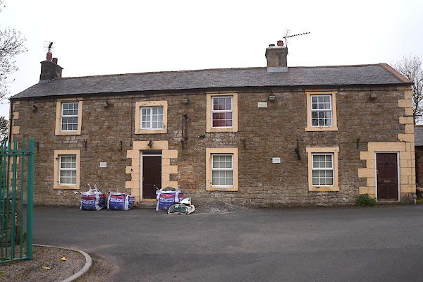 |
NY58546304 Railway Inn (Nether Denton) |
|
|
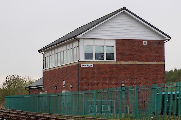 |
NY58526308 signal box, Low Row (Nether Denton) |
|
|
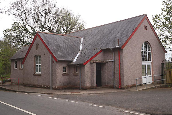 |
NY58536292 Taylor Institute (Nether Denton) |
|
|
 |
NY58556263 toll gate, Nether Denton (Nether Denton) |
|
|
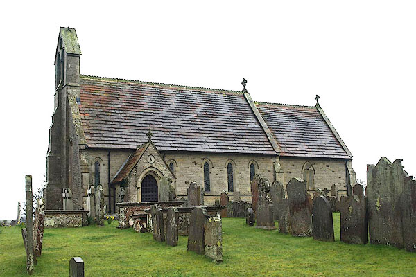 |
NY59496461 St Cuthbert's Church (Nether Denton) L |
|
|
 |
NY58736279 Low Row Bridge (Nether Denton) |
|


