Old Cumbria Gazetteer
 |
 |
|
||
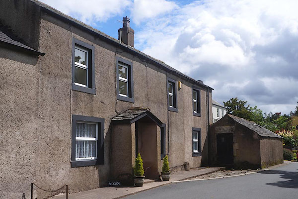
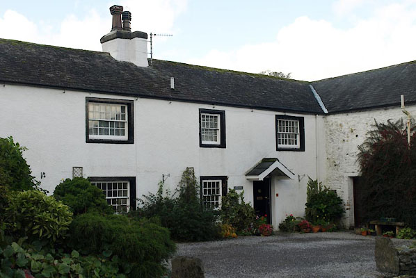
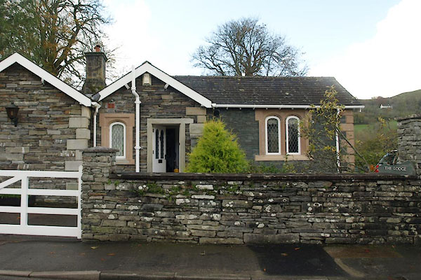
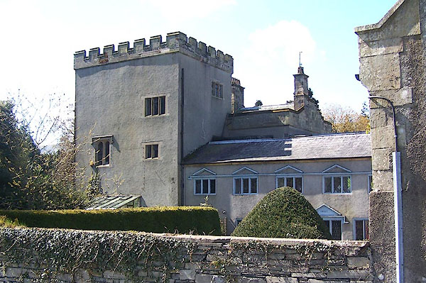
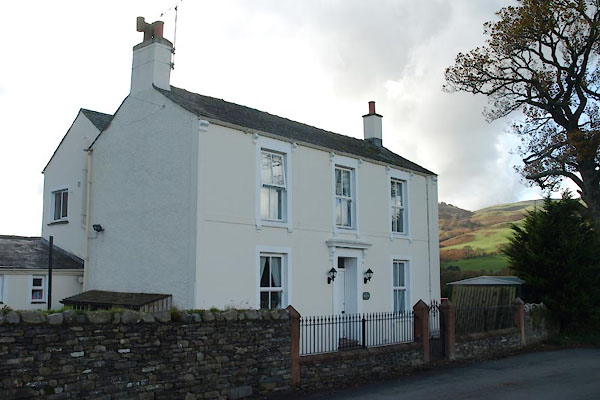
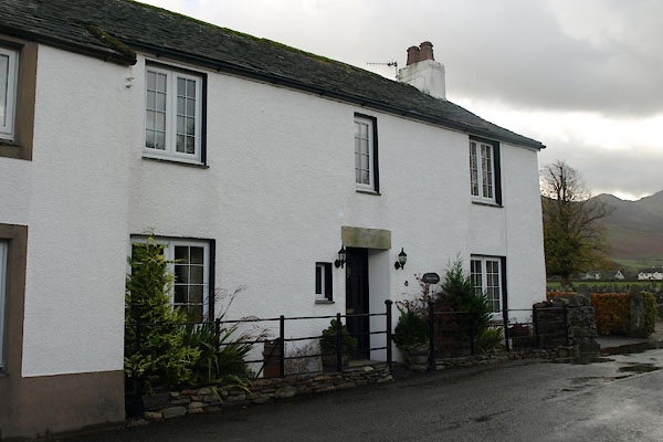
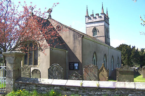
| Low Lorton, Lorton | ||||
| Low Lorton | ||||
| civil parish:- | Lorton (formerly Cumberland) | |||
| county:- | Cumbria | |||
| locality type:- | locality | |||
| locality type:- | buildings | |||
| coordinates:- | NY15232600 (etc) | |||
| 1Km square:- | NY1526 | |||
| 10Km square:- | NY12 | |||
|
|
||||
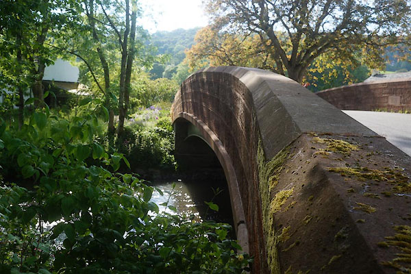
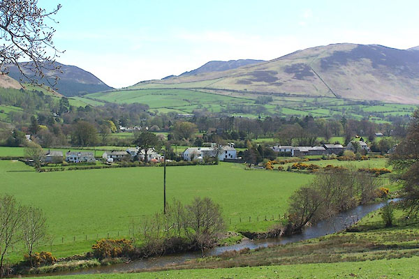 BLZ99.jpg River Cocker at Low Lorton. (taken 3.5.2006) 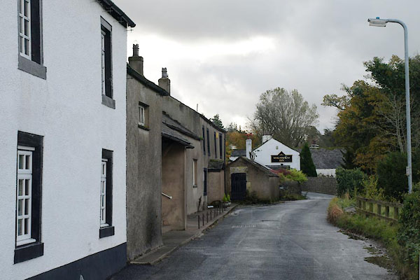 BVO92.jpg (taken 1.11.2011) |
||||
|
|
||||
| evidence:- | old map:- OS County Series (Cmd 55 13) placename:- Low Lorton placename:- Lorton, Low |
|||
| source data:- | Maps, County Series maps of Great Britain, scales 6 and 25
inches to 1 mile, published by the Ordnance Survey, Southampton,
Hampshire, from about 1863 to 1948. |
|||
|
|
||||
| evidence:- | perhaps old map:- Saxton 1579 placename:- Lorton |
|||
| source data:- | Map, hand coloured engraving, Westmorlandiae et Cumberlandiae Comitatus ie Westmorland
and Cumberland, scale about 5 miles to 1 inch, by Christopher Saxton, London, engraved
by Augustinus Ryther, 1576, published 1579-1645.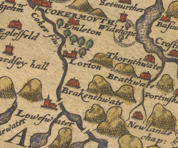 Sax9NY12.jpg Church, symbol for a parish or village, with a parish church. "Lorton" item:- private collection : 2 Image © see bottom of page |
|||
|
|
||||
| evidence:- | perhaps old map:- Morden 1695 (Cmd) placename:- Lorton |
|||
| source data:- | Map, uncoloured engraving, Cumberland, scale about 4 miles to 1
inch, by Robert Morden, 1695, published by Abel Swale, the
Unicorn, St Paul's Churchyard, Awnsham, and John Churchill, the
Black Swan, Paternoster Row, London, 1695-1715.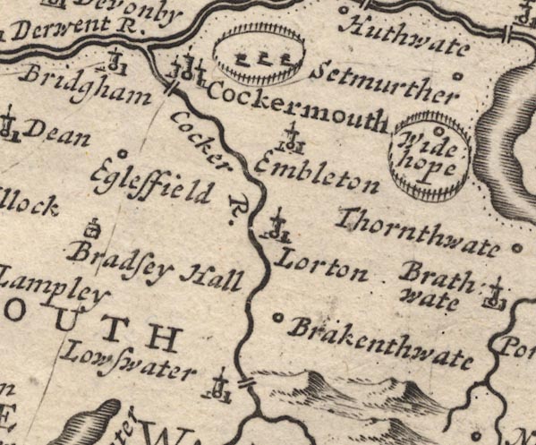 MD12NY12.jpg "Lorton" Circle, building and tower. item:- JandMN : 90 Image © see bottom of page |
|||
|
|
||||
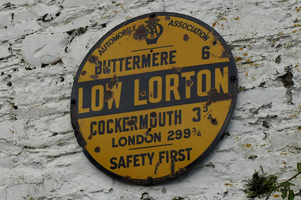 BVO87.jpg AA village sign. (taken 1.11.2011) |
||||
|
|
||||
| places:- |
|
|||
|
||||
|
||||
|
||||
|
||||
|
||||
|
||||
|
||||
|
||||
|
||||
|
||||
|
||||
|
||||
|
||||
 Lakes Guides menu.