Old Cumbria Gazetteer
 |
 |
|
||
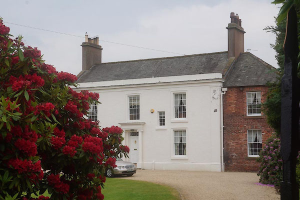
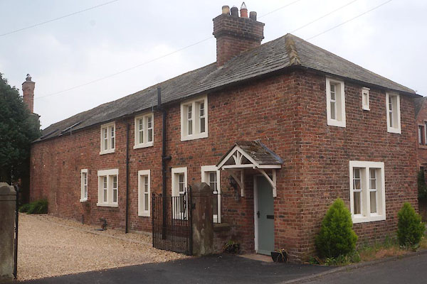
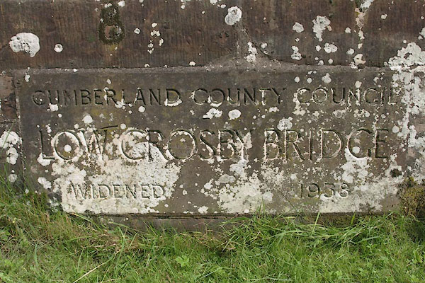
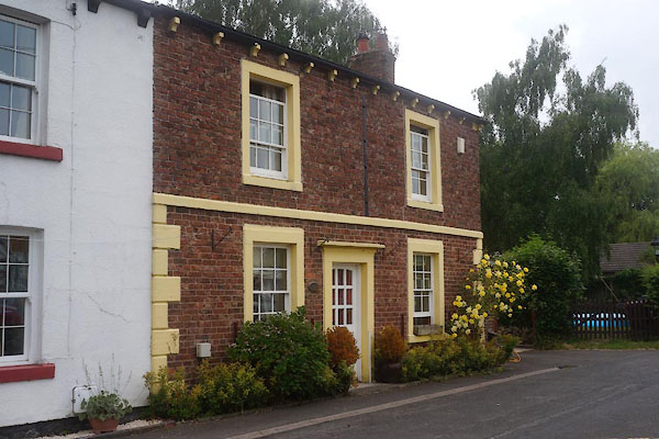
| Low Crosby, Stanwix Rural | ||||
| Low Crosby | ||||
| locality:- | Crosby-on-Eden | |||
| civil parish:- | Stanwix Rural (formerly Cumberland) | |||
| county:- | Cumbria | |||
| locality type:- | locality | |||
| locality type:- | buildings | |||
| coordinates:- | NY44665950 (etc) | |||
| 1Km square:- | NY4459 | |||
| 10Km square:- | NY45 | |||
|
|
||||
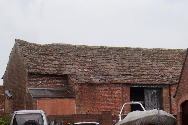
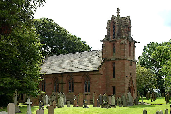
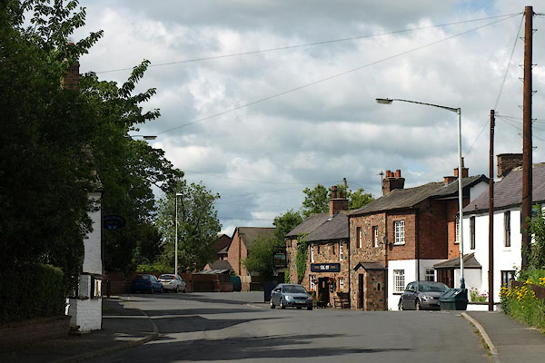 BUY77.jpg (taken 22.7.2011) |
||||
|
|
||||
| evidence:- | old map:- OS County Series (Cmd 17 9) placename:- Low Crosby placename:- Crosby, Low |
|||
| source data:- | Maps, County Series maps of Great Britain, scales 6 and 25
inches to 1 mile, published by the Ordnance Survey, Southampton,
Hampshire, from about 1863 to 1948. |
|||
|
|
||||
| evidence:- | old map:- Saxton 1579 placename:- Crosbye |
|||
| source data:- | Map, hand coloured engraving, Westmorlandiae et Cumberlandiae Comitatus ie Westmorland
and Cumberland, scale about 5 miles to 1 inch, by Christopher Saxton, London, engraved
by Augustinus Ryther, 1576, published 1579-1645.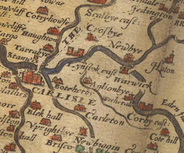 Sax9NY45.jpg Church, symbol for a parish or village, with a parish church. "Crosbye" item:- private collection : 2 Image © see bottom of page |
|||
|
|
||||
| evidence:- | old map:- Jansson 1646 placename:- Crosbye |
|||
| source data:- | Map, hand coloured engraving, Cumbria and Westmoria, ie
Cumberland and Westmorland, scale about 3.5 miles to 1 inch, by
John Jansson, Amsterdam, Netherlands, 1646.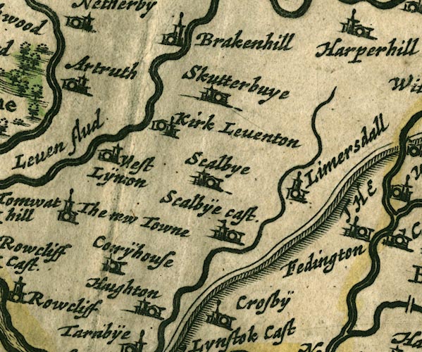 JAN3NY46.jpg "Crosbÿe" Buildings and tower. item:- JandMN : 88 Image © see bottom of page |
|||
|
|
||||
| evidence:- | old map:- Donald 1774 (Cmd) placename:- Crosby |
|||
| source data:- | Map, hand coloured engraving, 3x2 sheets, The County of Cumberland, scale about 1
inch to 1 mile, by Thomas Donald, engraved and published by Joseph Hodskinson, 29
Arundel Street, Strand, London, 1774.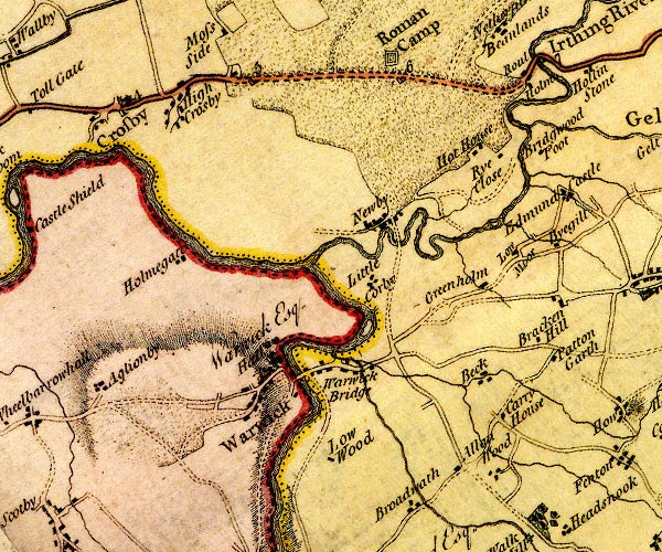 D4NY45NE.jpg "Crosby" blocks, and usually a church, labelled in upright lowercase; a village item:- Carlisle Library : Map 2 Image © Carlisle Library |
|||
|
|
||||
| evidence:- | old map:- Cooke 1802 placename:- Low Crosby |
|||
| source data:- | Map, Cumberland, scale about 15.5 miles to 1 inch, by George
Cooke, 1802, bound in Gray's New Book of Roads, 1824, published
by Sherwood, Jones and Co, Paternoster Road, London, 1824. click to enlarge click to enlargeGRA1Cd.jpg "Low Crosby" blocks, italic lowercase text, village, hamlet, locality item:- Hampshire Museums : FA2000.62.2 Image © see bottom of page |
|||
|
|
||||
| evidence:- | old map:- Laurie and Whittle 1806 placename:- Low Crosby |
|||
| source data:- | Road map, Continuation of the Roads to Glasgow and Edinburgh,
scale about 10 miles to 1 inch, by Nathaniel Coltman? 1806,
published by Robert H Laurie, 53 Fleet Street, London, 1834. click to enlarge click to enlargeLw21.jpg "Low Crosby" village or other place item:- private collection : 18.21 Image © see bottom of page |
|||
|
|
||||
| evidence:- | old map:- Ford 1839 map placename:- Low Crosby |
|||
| source data:- | Map, uncoloured engraving, Map of the Lake District of
Cumberland, Westmoreland and Lancashire, scale about 3.5 miles
to 1 inch, published by Charles Thurnam, Carlisle, and by R
Groombridge, 5 Paternoster Row, London, 3rd edn 1843. FD02NY46.jpg "Low Crosby" item:- JandMN : 100.1 Image © see bottom of page |
|||
|
|
||||
| evidence:- | old map:- Garnett 1850s-60s H placename:- Low Crosby |
|||
| source data:- | Map of the English Lakes, in Cumberland, Westmorland and
Lancashire, scale about 3.5 miles to 1 inch, published by John
Garnett, Windermere, Westmorland, 1850s-60s. GAR2NY45.jpg "Low Crosby" blocks, settlement item:- JandMN : 82.1 Image © see bottom of page |
|||
|
|
||||
| places:- |
|
|||
|
||||
|
||||
|
||||
|
||||
|
||||
|
||||
|
||||
|
||||
|
||||
|
||||
|
||||
|
||||
|
||||
|
||||
|
||||
 Lakes Guides menu.