


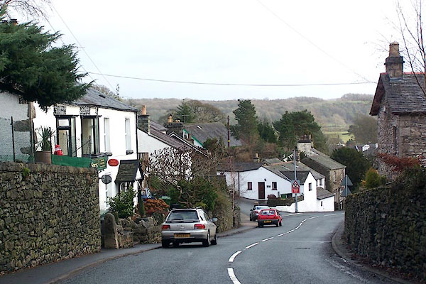
BLM86.jpg (taken 31.12.2005)
placename:- Lindal
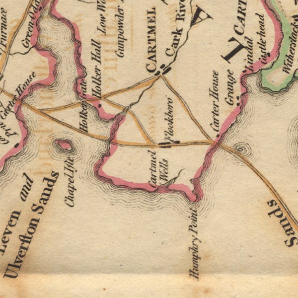
Ws02SD37.jpg
item:- Armitt Library : A1221.1
Image © see bottom of page
placename:- Lindale
 click to enlarge
Lw18.jpg
"Lindale 261½"
village or other place; distance from London
item:- private collection : 18.18
Image © see bottom of page
placename:- Lindal
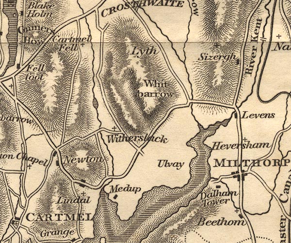
OT02SD48.jpg
item:- JandMN : 48.1
Image © see bottom of page
placename:- Lindale
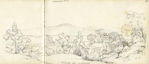 click to enlarge
AS0615.jpg
"Lindale 1868 see B 16 p 28"
page number "14"
item:- Armitt Library : 2008.61.15
Image © see bottom of page
placename:- Lindale
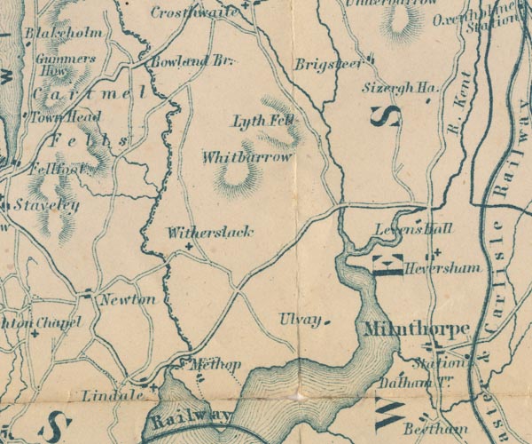
GAR2SD48.jpg
"Lindale"
blocks, settlement, and a cross, a church
item:- JandMN : 82.1
Image © see bottom of page
 |
SD41628019 Brocka (Upper Allithwaite) |
 |
SD413807 Burnbank Farm (Upper Allithwaite) |
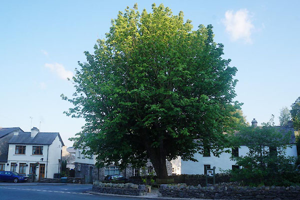 |
SD41588053 Coronation Tree (Upper Allithwaite) |
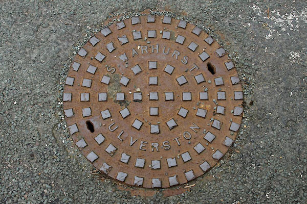 |
SD41528037 drain, Lindale (Upper Allithwaite) |
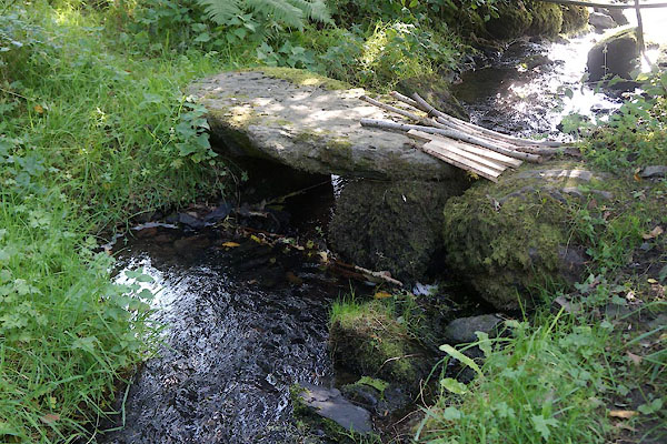 |
SD41338078 footbridge, Lindale (Upper Allithwaite) |
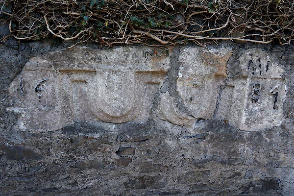 |
SD41608055 house, Lindale (Upper Allithwaite) gone |
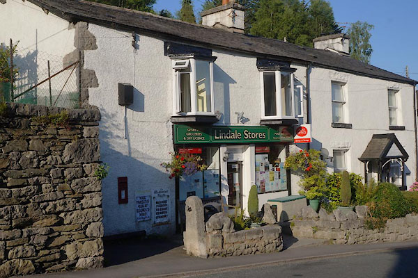 |
SD41678054 Lindale Stores (Upper Allithwaite) |
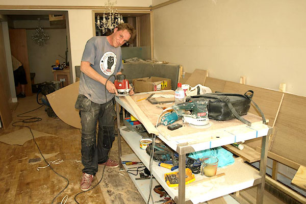 |
SD415805 Sear Bespoke Joinery (Upper Allithwaite) |
 |
SD41508048 Mill Pond (Upper Allithwaite) |
 |
SD419801 pillbox, Lindale (Upper Allithwaite) |
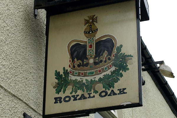 |
SD41318062 Royal Oak (Upper Allithwaite) |
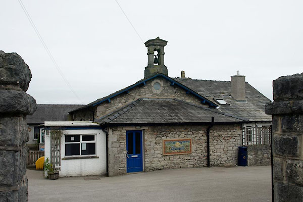 |
SD41578039 Lindale CofE primary School (Upper Allithwaite) |
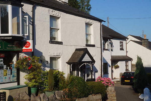 |
SD41688054 Underfell (Upper Allithwaite) |
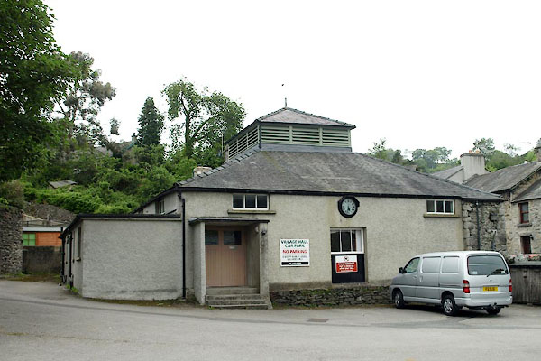 |
SD41598094 village hall, Lindale (Upper Allithwaite) |
 |
SD41398048 war memorial, Lindale (Upper Allithwaite) |
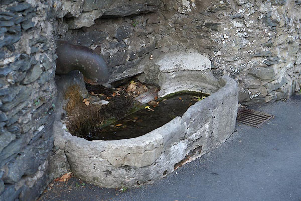 |
SD41698052 water trough, Lindale (Upper Allithwaite) |
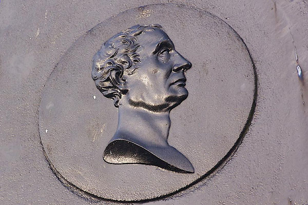 |
SD41848032 Wilkinson Memorial (Upper Allithwaite) L |
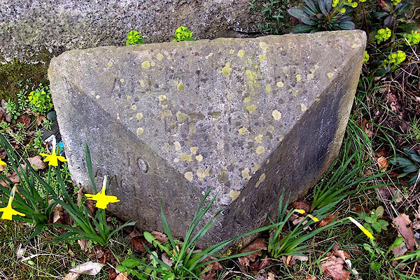 |
SD41948040 milestone, Upper Allithwaite (4) (Upper Allithwaite) |
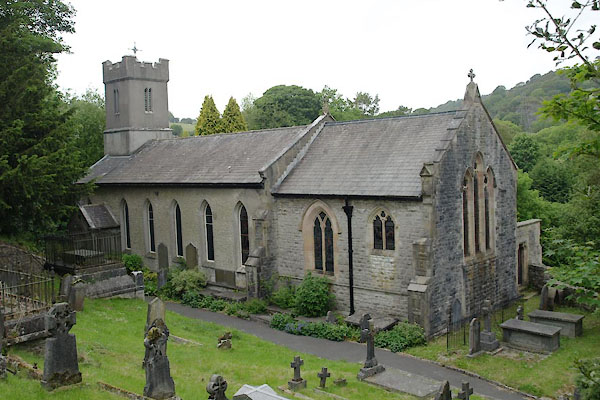 |
SD41428040 St Paul's Church (Upper Allithwaite) L |
