


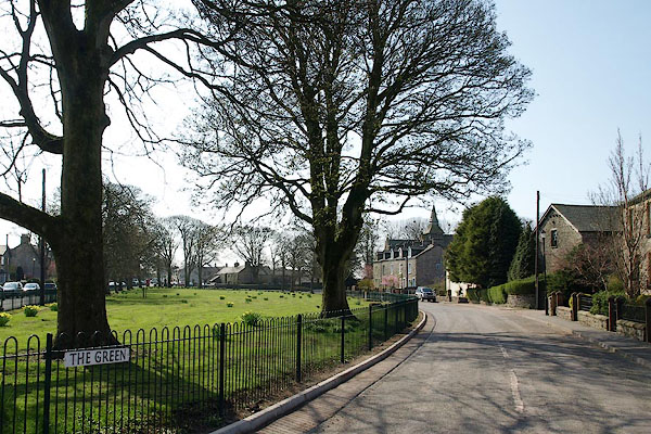
BSM59.jpg (taken 16.4.2010)
placename:- Lindal in Furness
placename:- Lindal
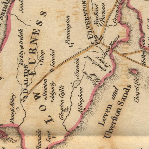
Ws02SD27.jpg
item:- Armitt Library : A1221.1
Image © see bottom of page
placename:- Lindal
 goto source
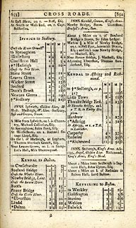 click to enlarge
C38653.jpg
page 653-654 "Lindal"
item:- JandMN : 228.2
Image © see bottom of page
placename:- Lindal
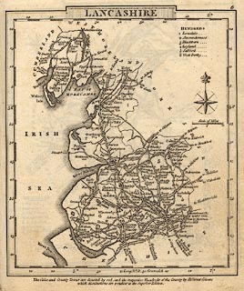 click to enlarge
GRA1La.jpg
"Lindal"
blocks, italic lowercase text, village, hamlet, locality
item:- Hampshire Museums : FA2000.62.6
Image © see bottom of page
placename:- Lindal
 click to enlarge
Lw18.jpg
"Lindal 274½"
village or other place; distance from London; travellers supplied with post horses or carriages
item:- private collection : 18.18
Image © see bottom of page
placename:- Lindal
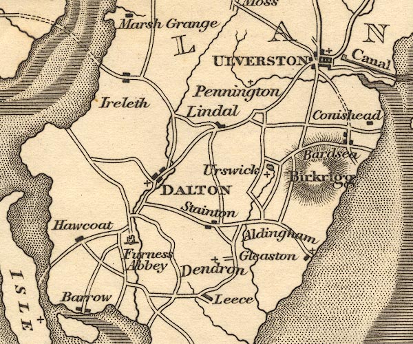
OT02SD27.jpg
item:- JandMN : 48.1
Image © see bottom of page
placename:- Lindale
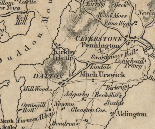
FD02SD27.jpg
"Lindale"
item:- JandMN : 100.1
Image © see bottom of page
placename:- Lindal
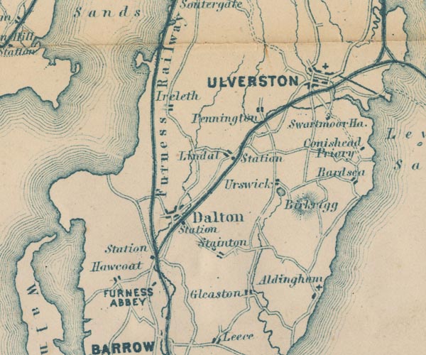
GAR2SD27.jpg
"Lindal"
blocks, settlement
item:- JandMN : 82.1
Image © see bottom of page
placename:- Lindal
 click to enlarge
POF7Cm.jpg
"Lindal"
map date 1909
placename:- Lindal
 click to enlarge
PF10Cm.jpg
"Lindal"
map date 1892
 |
SD2475 (Lindal and Marton) |
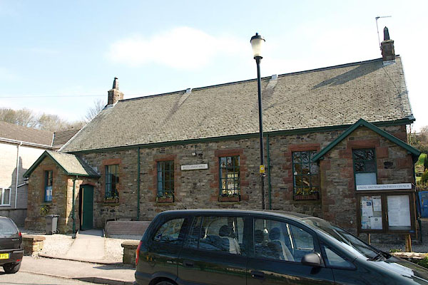 |
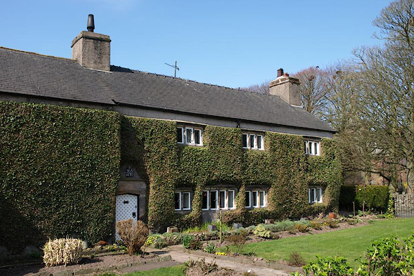
SD25007590 Buccleuch Hall (Lindal and Marton) L |
 |
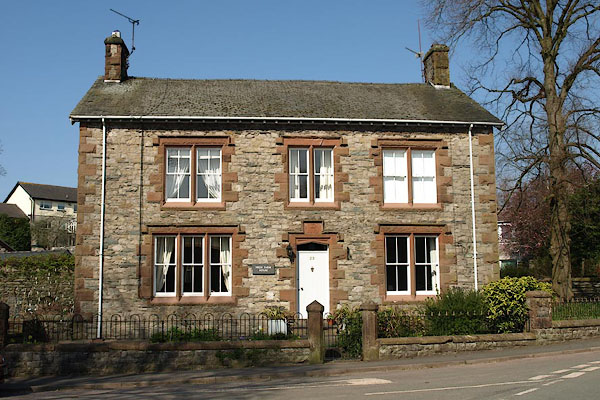
SD24997578 Church Farm (Lindal and Marton) L |
 |
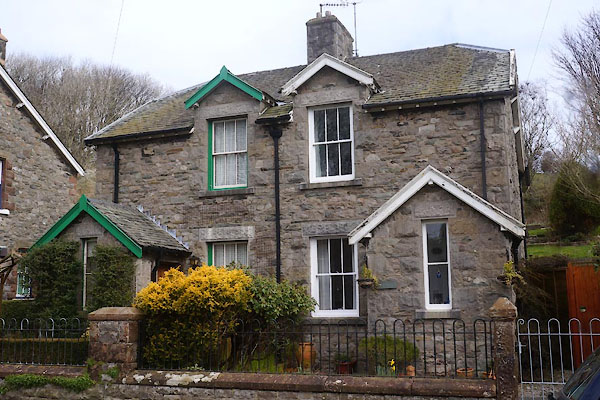
SD24967599 High House Farm (Lindal and Marton) L |
 |
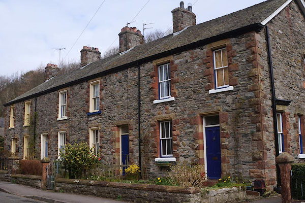
SD24997595 Lindal in Furness: Green, 7 and 8 (Lindal and Marton) L |
 |
SD24987597 Lindal in Furness: Green, 9 to 12 (Lindal and Marton) L |
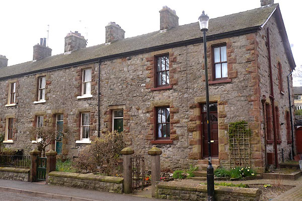 |
SD24947595 Lindal in Furness: Green, 24 to 28 (Lindal and Marton) L |
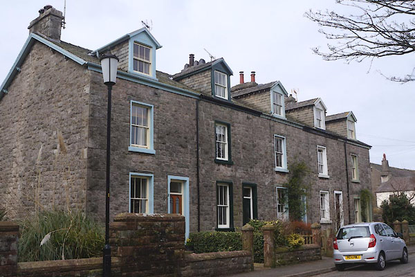 |
SD24947586 Lindal in Furness: Green, 30 to 34 (Lindal and Marton) L |
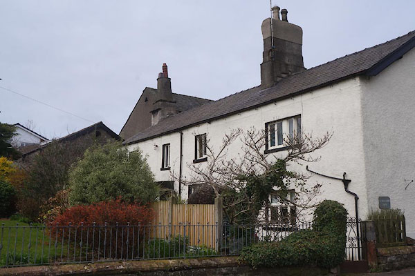 |
SD24927592 Lindal Moor Farm (Lindal and Marton) L |
 |
SD25457579 Lindal Ore Goods (Lindal and Marton) |
 |
SD25067542 Lindal Station (Lindal and Marton) |
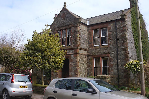 |
SD25027585 Low Farm (Lindal and Marton) L |
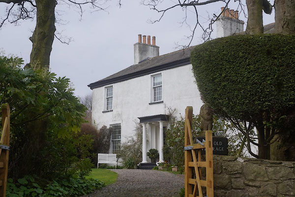 |
SD24877583 Old Vicarage, The (Lindal and Marton) |
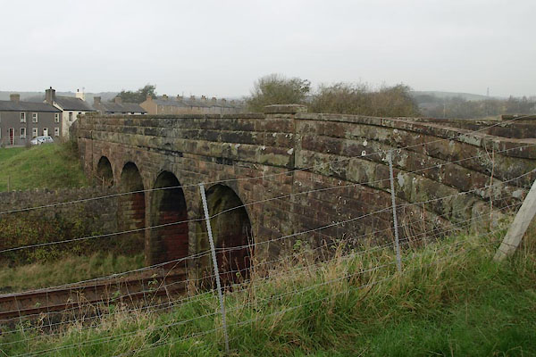 |
SD25117548 railway bridge, Lindal in Furness (Lindal and Marton) |
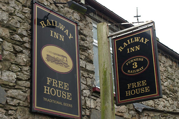 |
SD25047568 Railway Inn (Lindal and Marton) |
 |
SD24877629 school, Lindal in Furness (Lindal in Furness) |
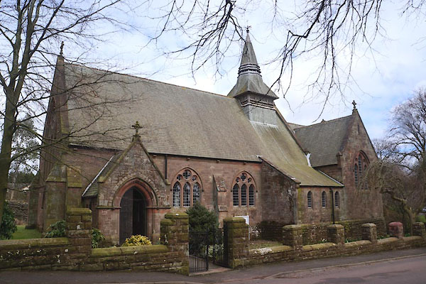 |
SD24937583 St Peter's Church (Lindal and Marton) L |
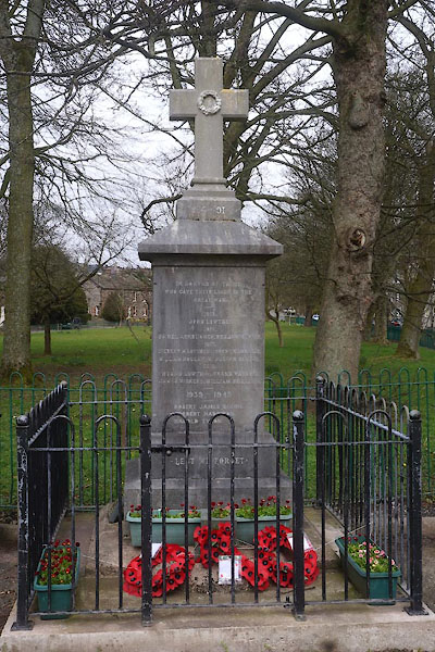 |
SD25017580 war memorial, Lindal in Furness (Lindal and Marton) |
 |
SD24517609 Whitriggs Iron Mine and Iron Works (Lindal and Marton) once |
