


 Duddon, River
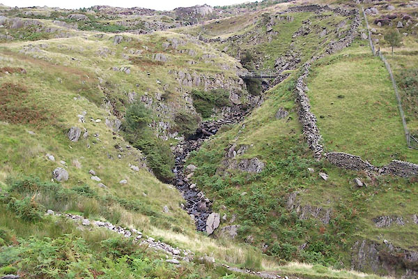
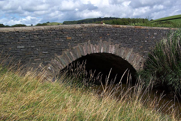
BTL84.jpg At Natty Bridge,
(taken 25.8.2010)
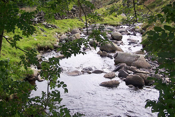
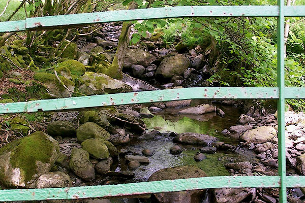
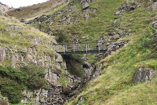
BTL88.jpg At a footbridge,
(taken 25.8.2010)
placename:- Lickle, River
"River Lickle"
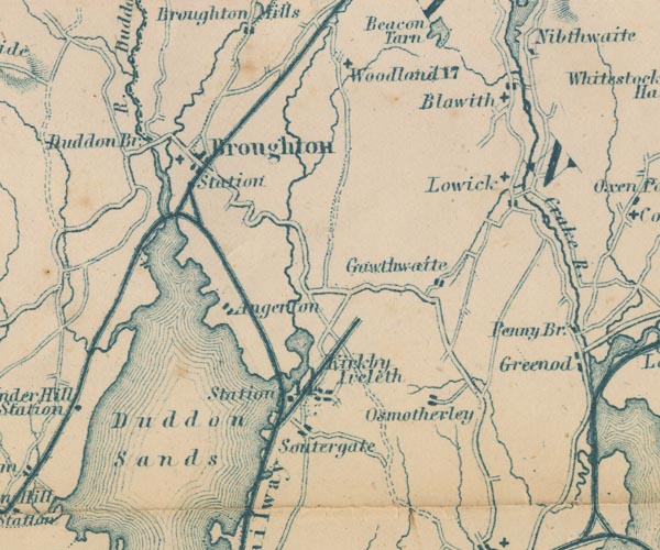
GAR2SD28.jpg
wiggly line, river
item:- JandMN : 82.1
Image © see bottom of page
placename:- Little, River
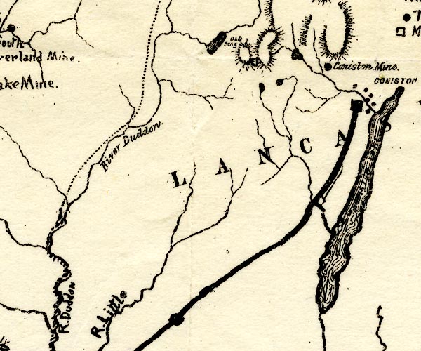
PST2SD29.jpg
"R. Little"
wiggly line
item:- JandMN : 162.2
Image © see bottom of page
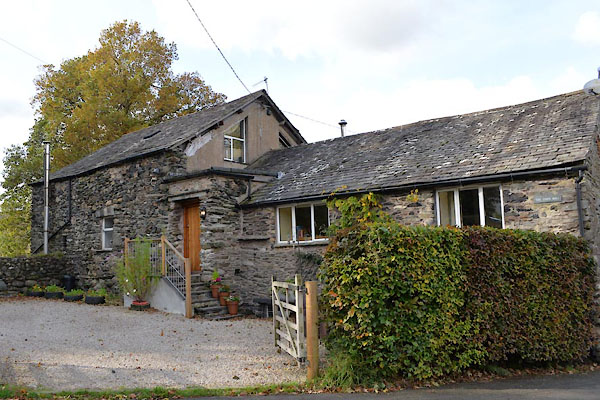
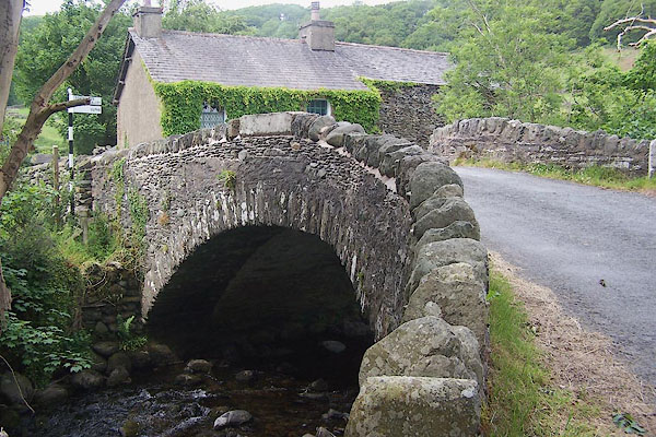
BMG14.jpg From Water Yeat Bridge.
(taken 12.6.2006)
Click to enlarge
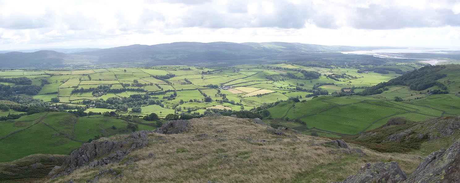
BTL46.jpg Lickle Valley from Great Stickle.
(taken 25.8.2010)
 |
SD22239066 Broughton Mill (Broughton West) |
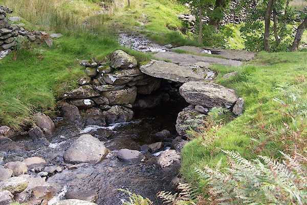 |
SD24119406 footbridge, Dunnerdale-with-Seathwaite (Dunnerdale-with-Seathwaite) |
 |
SD21438981 High Lickle Bridge (Broughton West) |
 |
SD22989125 Lind End Bridge (Broughton West / Dunnerdale-with-Seathwaite) |
 |
SD20428806 Low Lickle Bridge (Broughton West) |
 |
SD20948890 Lower Bleansley Bridge (Broughton West) |
 |
SD21048916 Middle Bleansley Bridge (Broughton West) |
 |
SD24329455 Natty Bridge (Dunnerdale-with-Seathwaite) |
 |
SD20528788 Old Bridge, The (Broughton West) |
 |
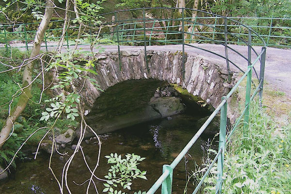
SD22239071 Shop Bridge (Broughton West / Dunnerdale-with-Seathwaite) L |
 |
SD23869303 Water Yeat Bridge (Broughton West / Dunnerdale-with-Seathwaite) L |
