 Old Cumbria Gazetteer
 |
 |
|
| Natty Bridge, Dunnerdale-with-Seathwaite | ||
| Natty Bridge | ||
| site name:- | Yewry Sike | |
| site name:- | Lickle, River | |
| civil parish:- | Dunnerdale-with-Seathwaite (formerly Lancashire) | |
| county:- | Cumbria | |
| locality type:- | bridge | |
| coordinates:- | SD24329455 | |
| 1Km square:- | SD2494 | |
| 10Km square:- | SD29 | |
| SummaryText:- | The stream changes name here? | |
|
|
||
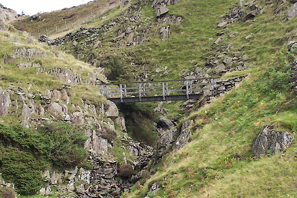 BTL83.jpg (taken 25.8.2010) |
||
|
|
||
| evidence:- | old map:- OS County Series (Lan 4) placename:- Natty Bridge Natty Bridge |
|
| source data:- | Maps, County Series maps of Great Britain, scales 6 and 25
inches to 1 mile, published by the Ordnance Survey, Southampton,
Hampshire, from about 1863 to 1948. "Natty Bridge" |
|
|
|
||
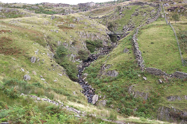 BTL84.jpg View of river. (taken 25.8.2010) |
||
|
|
||
 Lakes Guides menu.