 Old Cumbria Gazetteer
 |
 |
|
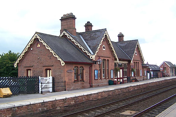
| Langwathby Station, Langwathby | ||
| Langwathby Station | ||
| site name:- | Settle and Carlisle Railway | |
| locality:- | Langwathby | |
| civil parish:- | Langwathby (formerly Cumberland) | |
| county:- | Cumbria | |
| locality type:- | railway station | |
| locality type:- | signal box | |
| coordinates:- | NY57313346 | |
| 1Km square:- | NY5733 | |
| 10Km square:- | NY53 | |
| SummaryText:- | Opened 1876; closed 1970; reopened 1988. | |
|
|
||
 BJU61.jpg (taken 26.8.2005) 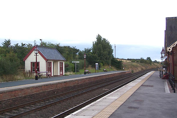 BJU60.jpg (taken 26.8.2005) |
||
|
|
||
| evidence:- | old map:- OS County Series (Cmd 50 11) item:- cattle pen; goods shed; crane |
|
| source data:- | Maps, County Series maps of Great Britain, scales 6 and 25
inches to 1 mile, published by the Ordnance Survey, Southampton,
Hampshire, from about 1863 to 1948. "Station / Cattle Pens / Goods Shed / Crane / Signal Box" |
|
|
|
||
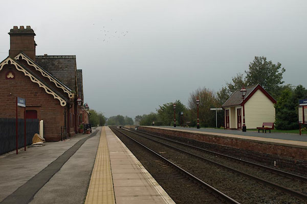 BVM89.jpg (taken 14.10.2011) 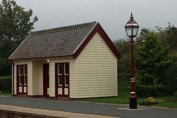 BVM90.jpg Platform shelter, and lamp. (taken 14.10.2011) 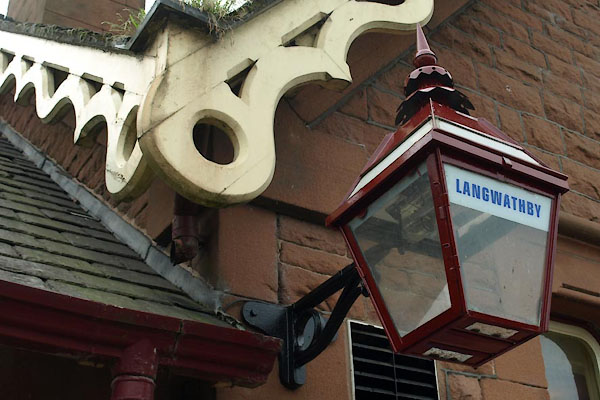 BVM91.jpg Lamp and barge boards. (taken 14.10.2011) 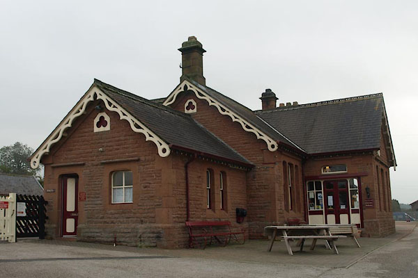 BVM92.jpg (taken 14.10.2011) 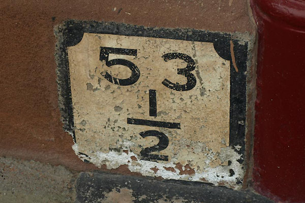 BVM94.jpg "53 / ½" from Settle. (taken 14.10.2011) 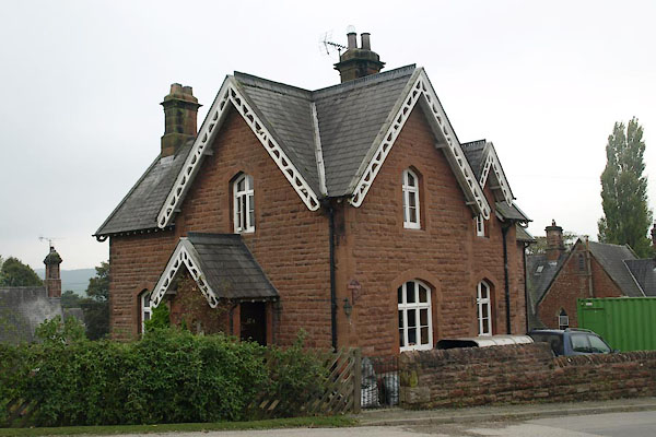 BVM95.jpg Station House, on approach road. (taken 14.10.2011) |
||
|
|
||
 Lakes Guides menu.