 |
 |
   |
|
|
|
|
| civil parish:- |
Ireby (formerly Cumberland) |
| county:- |
Cumbria |
| locality type:- |
locality |
| locality type:- |
buildings |
| locality type:- |
market town |
| locality type:- |
selected place |
| coordinates:- |
NY23383874 (etc) |
| 1Km square:- |
NY2338 |
| 10Km square:- |
NY23 |
| latitude; longitude:- |
3d 10.9m W; 54d 44.4m N |
|
|
|
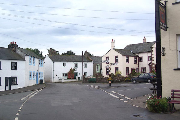
BMS17.jpg (taken 29.9.2006)
|
|
|
| evidence:- |
old map:- OS County Series (Cmd 37 13)
placename:- Ireby
|
| source data:- |
Maps, County Series maps of Great Britain, scales 6 and 25
inches to 1 mile, published by the Ordnance Survey, Southampton,
Hampshire, from about 1863 to 1948.
|
|
|
| evidence:- |
old map:- Saxton 1579
placename:- Ierbye
|
| source data:- |
Map, hand coloured engraving, Westmorlandiae et Cumberlandiae Comitatus ie Westmorland
and Cumberland, scale about 5 miles to 1 inch, by Christopher Saxton, London, engraved
by Augustinus Ryther, 1576, published 1579-1645.
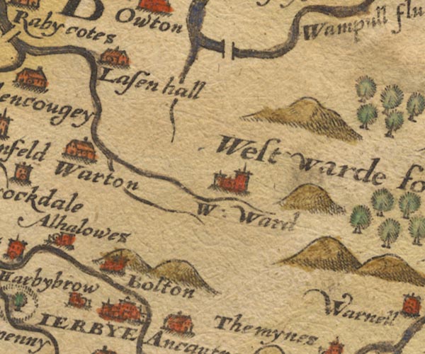
Sax9NY24.jpg
Buildings and towers, symbol for a town. "IERBYE"
item:- private collection : 2
Image © see bottom of page
|
|
|
| evidence:- |
old map:- Mercator 1595 (edn?)
placename:- Irebye
|
| source data:- |
Map, hand coloured engraving, Northumbria, Cumberlandia, et
Dunelmensis Episcopatus, ie Northumberland, Cumberland and
Durham etc, scale about 6.5 miles to 1 inch, by Gerard Mercator,
Duisberg, Germany, about 1595.
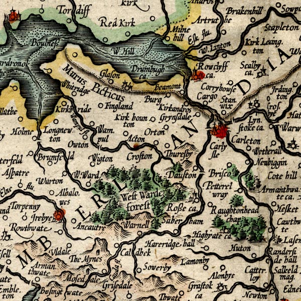
MER8CumC.jpg
"Irebye"
circle, building/s, tower, tinted red
item:- JandMN : 169
Image © see bottom of page
|
|
|
| evidence:- |
old map:- Keer 1605
placename:- Ierbye
|
| source data:- |
Map, hand coloured engraving, Westmorland and Cumberland, scale
about 16 miles to 1 inch, probably by Pieter van den Keere, or
Peter Keer, about 1605 edition perhaps 1676.
 click to enlarge click to enlarge
KER8.jpg
"Ierbye"
dot, two circle, tower, tinted red; town
item:- Dove Cottage : 2007.38.110
Image © see bottom of page
|
|
|
| evidence:- |
old map:- Speed 1611 (Cmd)
placename:- Ierbye
|
| source data:- |
Map, hand coloured engraving, Cumberland and the Ancient Citie
Carlile Described, scale about 4 miles to 1 inch, by John Speed,
1610, published by J Sudbury and George Humble, Popes Head
Alley, London, 1611-12.
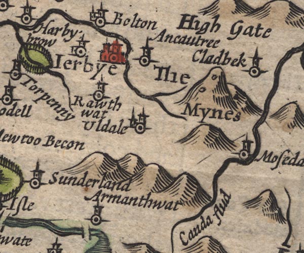
SP11NY23.jpg
"Ierbye"
circle, buildings, towers
item:- private collection : 16
Image © see bottom of page
|
|
|
| evidence:- |
table of distances:- Simons 1635
placename:- Ierbye
|
| source data:- |
Table of distances, uncoloured engraving, Cumberland, with a
thumbnail map, scale about 41 miles to 1 inch, by Mathew Simons,
published in A Direction for the English Traviller, 1635.
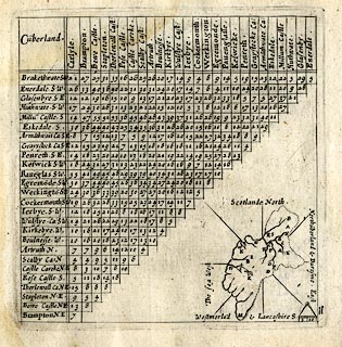 click to enlarge click to enlarge
SIM4.jpg
"Ierbye S.W."
and tabulated distances; I on thumbnail map
item:- private collection : 50.11
Image © see bottom of page
|
|
|
| evidence:- |
old map:- Jenner 1643
placename:- Irebye
|
| source data:- |
Tables of distances with a maps, Westmerland, scale about 16
miles to 1 inch, and Cumberland, scale about 21 miles to 1 inch,
published by Thomas Jenner, London, 1643; published 1643-80.

JEN4Sq.jpg
"Irebye"
circle
|
|
|
| evidence:- |
old map:- Jansson 1646
placename:- Ierbye
|
| source data:- |
Map, hand coloured engraving, Cumbria and Westmoria, ie
Cumberland and Westmorland, scale about 3.5 miles to 1 inch, by
John Jansson, Amsterdam, Netherlands, 1646.
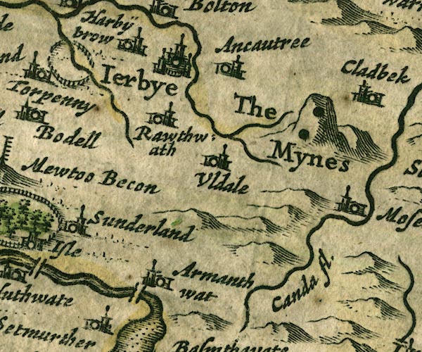
JAN3NY23.jpg
"Ierbye"
Buildings and towers, suggestion of a wall, notice ?fence palings; upright lowercase
text; market town.
item:- JandMN : 88
Image © see bottom of page
|
|
|
| evidence:- |
old map:- Ogilby 1675 (plate 96)
placename:- Ireby
|
| source data:- |
Road strip map, hand coloured engraving, the Road from Kendal to
Cockermouth, and the Road from Egremond to Carlisle, scale about
1 inch to 1 mile, by John Ogilby, London, 1675.
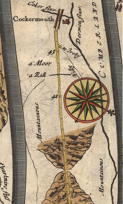
OG96m040.jpg
In mile 43, Cumberland.
Turning right:- "to Ireby"
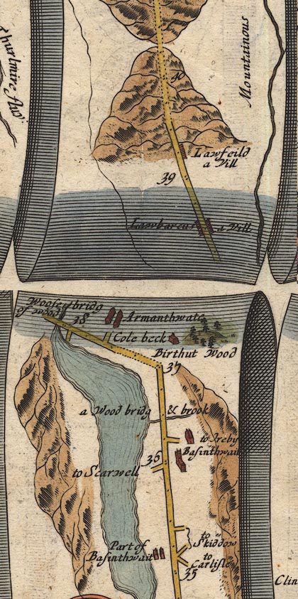
OG96m035.jpg
In mile 36, Cumberland.
Turning right:- "to Ireby"
item:- JandMN : 22
Image © see bottom of page
|
| source data:- |
Road strip map, hand coloured engraving, the Road from Kendal to
Cockermouth, and the Road from Egremond to Carlisle, scale about
1 inch to 1 mile, by John Ogilby, London, 1675.
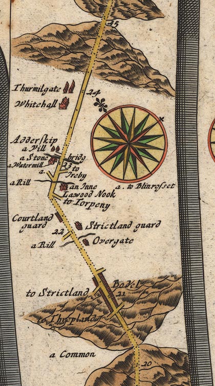
OG96Bm20.jpg
In mile 22, Cumberland.
Turning right:- "to Ireby"
item:- JandMN : 22
Image © see bottom of page
|
|
|
| evidence:- |
old map:- Sanson 1679
placename:- Ierbye
|
| source data:- |
Map, hand coloured engraving, Ancien Royaume de Northumberland
aujourdhuy Provinces de Nort, ie the Ancient Kingdom of
Northumberland or the Northern Provinces, scale about 9.5 miles
to 1 inch, by Nicholas Sanson, Paris, France, 1679.
 click to enlarge click to enlarge
SAN2Cm.jpg
"Ierbye"
circle, italic lowercase text; village or house
item:- Dove Cottage : 2007.38.15
Image © see bottom of page
|
|
|
| evidence:- |
old map:- Seller 1694 (Cmd)
placename:- Ierby
|
| source data:- |
Map, uncoloured engraving, Cumberland, scale about 12 miles to 1
inch, by John Seller, 1694.
 click to enlarge click to enlarge
SEL9.jpg
"Ierby"
circle, upright lowercase text; town
item:- Dove Cottage : 2007.38.89
Image © see bottom of page
|
|
|
| evidence:- |
old map:- Morden 1695 (EW)
placename:- Ireby
|
| source data:- |
Map, hand coloured engraving, England, including Wales, scale
about 27 miles to 1 inch, by Robert Morden, published by Abel
Swale Awnsham and John Churchil, London, about 1695.
 click to enlarge click to enlarge
MRD3Cm.jpg
"Ireby"
circle; village or town
item:- JandMN : 339
Image © see bottom of page
|
|
|
| evidence:- |
old map:- Morden 1695 (Cmd)
placename:- Ierby
placename:- Arbeia
|
| source data:- |
Map, uncoloured engraving, Cumberland, scale about 4 miles to 1
inch, by Robert Morden, 1695, published by Abel Swale, the
Unicorn, St Paul's Churchyard, Awnsham, and John Churchill, the
Black Swan, Paternoster Row, London, 1695-1715.
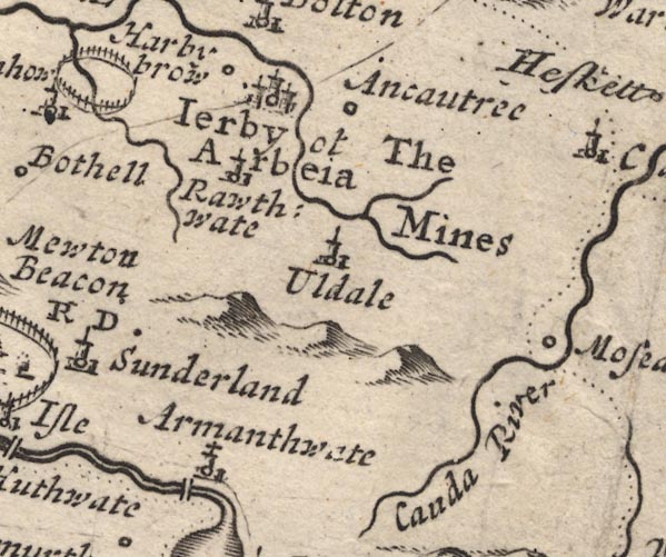
MD12NY23.jpg
"Ierby ot Arbeia"
Circle, buildings, towers.
item:- JandMN : 90
Image © see bottom of page
|
|
|
| evidence:- |
old map:- Badeslade 1742
placename:- Ireby
|
| source data:- |
Maps, Westmorland North from London, scale about 10 miles to 1
inch, and Cumberland North from London, scale about 11 miles to
1 inch, with descriptive text, by Thomas Badeslade, London,
engraved and published by William Henry Toms, Union Court,
Holborn, London, 1742; published 1742-49.
"Ireby Market Thursday."
|
|
|
| evidence:- |
old map:- Badeslade 1742
placename:- Ireby
|
| source data:- |
Map, uncoloured engraving, A Map of Cumberland North from
London, scale about 11 miles to 1 inch, with descriptive text,
by Thomas Badeslade, London, engraved and published by William
Henry Toms, Union Court, Holborn, London, 1742.
 click to enlarge click to enlarge
BD10.jpg
"Ireby"
circle, tower/s, upright lowercase text; town
item:- JandMN : 115
Image © see bottom of page
|
|
|
| evidence:- |
descriptive text:- Simpson 1746
placename:- Ierby
placename:- Low Ireby
placename:- Ireby Basse
placename:- Market Ireby
placename:- Arbea
|
| source data:- |
Atlas, three volumes of maps and descriptive text published as
'The Agreeable Historian, or the Compleat English Traveller
...', by Samuel Simpson, 1746.
 goto source goto source
"The principal Towns in Cumberland, are, ... Ierbey, ..."
 goto source goto source
"..."
"Westward of Penrith, and not far from the Head of the River Eln, stands"
"Ierby, a considerable Market Town: It is suppos'd to to be the Arbea of the Ancients,
where the Barcarii Tigrinensis were garrison'd. At the Conquest it was a Gentleman's
Seat, and one Village, but now it is become two Manors, the one called Ireby Alta,
or High Ireby, and the other Ireby Basse, or Low Ireby, and often Market Ireby, because
tho' the other be the more ancient Town, yet this having been the Lands of great Men
successively, and standing in a more convenient Place, hath always been of more Account,
and enjoy'd the Privilege of holding a Fair and Market, which the other has not. ...
The Lower is now the Lordship of the Musgraves of Crokedale, who are descended of
the same Family."
"The Market here is on Thursdays."
|
|
|
| evidence:- |
old map:- Bickham 1753-54 (Cmd)
placename:- Ireby
|
| source data:- |
Map, uncoloured engraving, perspective map, Map of Cumberland
North from London, by George Bickham, James Street, Bunhill
Fields, London, 1753, published by F Jollie and Sons, Carlisle,
Cumberland, 1811.
 click to enlarge click to enlarge
JL05.jpg
"Ireby"
view (sort of)
item:- Carlisle Library : 4.2
Image © Carlisle Library |
|
|
| evidence:- |
old map:- Bowen and Kitchin 1760
placename:- Ireby
placename:- Irby
|
| source data:- |
Map, hand coloured engraving, A New Map of the Counties of
Cumberland and Westmoreland Divided into their Respective Wards,
scale about 4 miles to 1 inch, by Emanuel Bowen and Thomas
Kitchin et al, published by T Bowles, Robert Sayer, and John
Bowles, London, 1760.
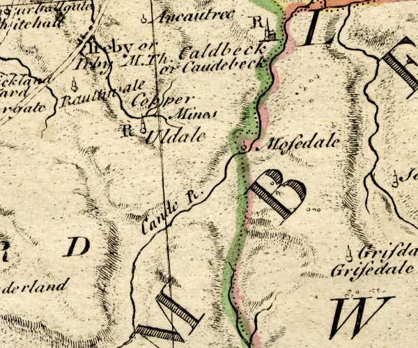
BO18NY23.jpg
"Ireby or Irby M. Th."
blocks, on road, town, market
item:- Armitt Library : 2008.14.10
Image © see bottom of page
|
|
|
| evidence:- |
old map:- Donald 1774 (Cmd)
placename:- Ireby
|
| source data:- |
Map, hand coloured engraving, 3x2 sheets, The County of Cumberland, scale about 1
inch to 1 mile, by Thomas Donald, engraved and published by Joseph Hodskinson, 29
Arundel Street, Strand, London, 1774.
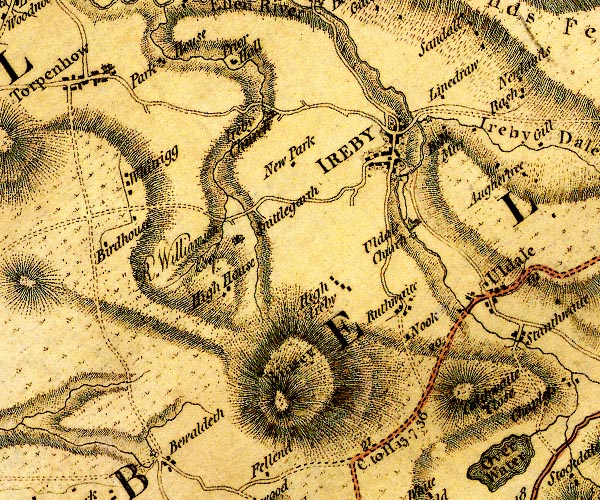
D4NY23NW.jpg
"IREBY"
blocks, perhaps a church, labelled in block caps; a town with street plan
item:- Carlisle Library : Map 2
Image © Carlisle Library |
|
|
| evidence:- |
old map:- Donald 1774 (Cmd)
placename:- Ireby
|
| source data:- |
Map, hand coloured engraving, 3x2 sheets, The County of Cumberland, scale about 1
inch to 1 mile, by Thomas Donald, engraved and published by Joseph Hodskinson, 29
Arundel Street, Strand, London, 1774.
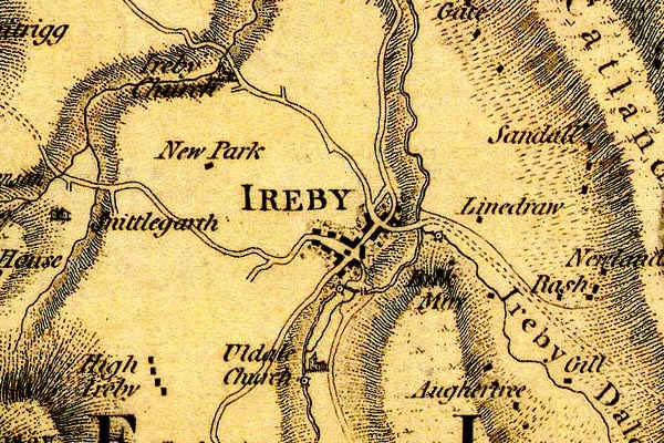
DN04Irby.jpg
"IREBY"
Labelled in block caps for a market town; street map.
item:- Carlisle Library : Map 2
Image © Carlisle Library |
|
|
| evidence:- |
old map:- Donald 1774 (Cmd)
placename:- Ireby
|
| source data:- |
Map, hand coloured engraving, 3x2 sheets, The County of Cumberland, scale about 1
inch to 1 mile, by Thomas Donald, engraved and published by Joseph Hodskinson, 29
Arundel Street, Strand, London, 1774.

D4NY23NW.jpg
"IREBY"
blocks, perhaps a church, labelled in block caps; a town with street plan
item:- Carlisle Library : Map 2
Image © Carlisle Library |
|
|
| evidence:- |
old map:- Donald 1774 (Cmd)
placename:- Ireby
|
| source data:- |
Map, hand coloured engraving, 3x2 sheets, The County of Cumberland, scale about 1
inch to 1 mile, by Thomas Donald, engraved and published by Joseph Hodskinson, 29
Arundel Street, Strand, London, 1774.

DN04Irby.jpg
"IREBY"
Labelled in block caps for a market town; street map.
item:- Carlisle Library : Map 2
Image © Carlisle Library |
|
|
| evidence:- |
descriptive text:- West 1778 (11th edn 1821)
placename:- Arbeia
|
| source data:- |
Guide book, A Guide to the Lakes, by Thomas West, published by
William Pennington, Kendal, Cumbria once Westmorland, and in
London, 1778 to 1821.
 goto source goto source
Page 124:- "..."
"Camden proposes Ireby for the Arbeia of the Romans, where the Bercarii Tigrinensis
were garrisoned, but advances nothing in favour of his opinion. The situation is such
as the Romans never made choice of for a camp or garrison, and there remains no vestiges
of either. By its being in a deep glen, among surrounding hills, where there is no
pass to guard, or country to protect, a body of men would be of no use."
"..."
|
|
|
| evidence:- |
old text:- Camden 1789
placename:- Ierby
placename:- Arbeia
|
| source data:- |
Book, Britannia, or A Chorographical Description of the Flourishing Kingdoms of England,
Scotland, and Ireland, by William Camden, 1586, translated from the 1607 Latin edition
by Richard Gough, published London, 1789.
 goto source goto source
Page 171:- "..."
"... Ierby, no inconsiderable market town. This I take to have been ARBEIA, where the
Barcarii Tigriensis were stationed, ..."
|
|
|
| evidence:- |
road book:- Cary 1798 (2nd edn 1802)
placename:- Ireby
|
| source data:- |
Road book, itineraries, Cary's New Itinerary, by John Cary, 181
Strand, London, 2nd edn 1802.
 goto source goto source
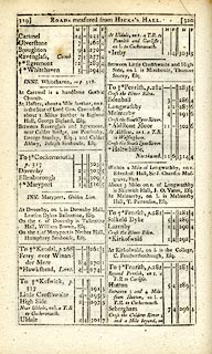 click to enlarge click to enlarge
C38319.jpg
page 319-320 "Ireby"
market town
item:- JandMN : 228.1
Image © see bottom of page
|
|
|
| evidence:- |
road book:- Cary 1798 (2nd edn 1802)
placename:- Ireby
|
| source data:- |
Road book, itineraries, Cary's New Itinerary, by John Cary, 181
Strand, London, 2nd edn 1802.
 goto source goto source
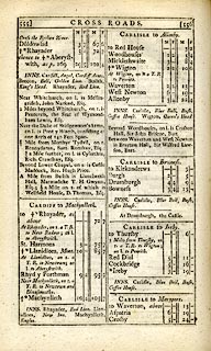 click to enlarge click to enlarge
C38555.jpg
page 555-556 "Ireby"
market town
item:- JandMN : 228.2
Image © see bottom of page
|
|
|
| evidence:- |
old map:- Cooke 1802
placename:- Ireby
|
| source data:- |
Map, The Lakes, Westmorland and Cumberland, scale about 8.5
miles to 1 inch, engravedby Neele and Son, published by
Sherwood, Jones and Co, Paternoster Road, London, 1824.
 click to enlarge click to enlarge
GRA1Lk.jpg
"Ireby"
blocks, upright lowercase text; town
item:- Hampshire Museums : FA2000.62.5
Image © see bottom of page
|
|
|
| evidence:- |
old map:- Laurie and Whittle 1806
placename:- Ireby
|
| source data:- |
Road map, Completion of the Roads to the Lakes, scale about 10
miles to 1 inch, by Nathaniel Coltman? 1806, published by Robert
H Laurie, 53 Fleet Street, London, 1834.
 click to enlarge click to enlarge
Lw18.jpg
"Ireby 302¾"
market town; distance from London
item:- private collection : 18.18
Image © see bottom of page
|
|
|
| evidence:- |
old text:- Capper 1808
placename:- Ireby High
item:- population; market; fair
|
| source data:- |
Gazetteer, A Topographical Dictionary of the United Kingdom,
compiled by Benjamin Pitts Capper, published by Richard
Phillips, Bridge Street, Blackfriars, London, 1808; published
1808-29.
 goto source goto source
"..."
"IREBY HIGH, a parish and market-town in Allerdale ward, below Derwent, Cumberland,
9 miles from Cockermouth, and 103 from London; containing 69 houses and 358 inhabitants.
It stands near the source of the river Ellen. The market is on Thursday. Fairs on
the days of St. Matthias and St. Matthew. The church is a curacy, in the patronage
of the dean and chapter of Carlisle."
"IREBY LOW, a hamlet to the above, 1 mile distant."
"..."
Low Ireby is Ireby, High Ireby is to the SSW.
|
|
|
| evidence:- |
old map:- Cooper 1808
placename:- Ireby
|
| source data:- |
Map, uncoloured engraving, Cumberland, scale about 10.5 miles to
1 inch, drawn and engraved by Cooper, published by R Phillips,
Bridge Street, Blackfriars, London, 1808.
 click to enlarge click to enlarge
COP3.jpg
"Ireby"
circle with two side bars; town
item:- JandMN : 86
Image © see bottom of page
|
|
|
| evidence:- |
old map:- Otley 1818
placename:- Ireby
|
| source data:- |
Map, uncoloured engraving, The District of the Lakes,
Cumberland, Westmorland, and Lancashire, scale about 4 miles to
1 inch, by Jonathan Otley, 1818, engraved by J and G Menzies,
Edinburgh, Scotland, published by Jonathan Otley, Keswick,
Cumberland, et al, 1833.
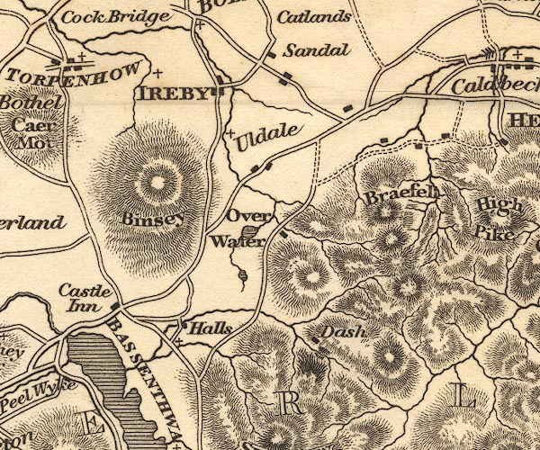
OT02NY23.jpg
"IREBY"
item:- JandMN : 48.1
Image © see bottom of page
|
|
|
| evidence:- |
old map:- Hall 1820 (Cmd)
placename:- Ireby
|
| source data:- |
Map, hand coloured engraving, Cumberland, scale about 21 miles
to 1 inch, engraved by Sidney Hall, published by S Leigh, 18
Strand, London, 1820-31.
 click to enlarge click to enlarge
HA14.jpg
"Ireby / 303"
circle, upright lowercase text; town; distance from London
item:- JandMN : 91
Image © see bottom of page
|
|
|
| evidence:- |
descriptive text:- Otley 1823 (5th edn 1834)
item:- geology
|
| source data:- |
Guide book, A Concise Description of the English Lakes, the
mountains in their vicinity, and the roads by which they may be
visited, with remarks on the mineralogy and geology of the
district, by Jonathan Otley, published by the author, Keswick,
Cumberland now Cumbria, by J Richardson, London, and by Arthur
Foster, Kirkby Lonsdale, Cumbria, 1823; published 1823-49,
latterly as the Descriptive Guide to the English Lakes.
 goto source goto source
Page 161:- "A superincumbent bed of limestone, by some called the mountain, by others the upper
transition limestone, mantles round these mountains, in a position unconformable to
the strata of the slaty and other rocks upon which it reposes. It bassets out near
... Bothel, Ireby, Caldbeck, ..."
|
|
|
| evidence:- |
old map:- Greenwood 1824
placename:- Ireby
|
| source data:- |
Map, engraving, Map of the County of Cumberland, scale about 1
inch to 1 mile, etc, by Christopher and John Greenwood,
published by George Pringle jnr, 70 Queen Street, Cheapside,
London, 1823.
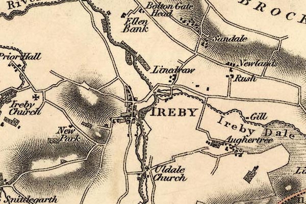
gw12irby.jpg
"IREBY"
street map; labelled in block caps for a market town; notice the church out of town.
item:- National Library of Scotland : EME.b.3.11
Image © National Library of Scotland |
|
|
| evidence:- |
old map:- Cobbett 1832
placename:- Ireby
|
| source data:- |
Map, uncoloured engraving, Cumberland, scale about 20 miles to 1
inch, by William Cobbett, 11 Bolt Court, Fleet Street, London,
1832.
 click to enlarge click to enlarge
COB5.jpg
"Ireby"
dot and circle; town
item:- JandMN : 117
Image © see bottom of page
|
|
|
| evidence:- |
old map:- Ford 1839 map
placename:- Ireby
|
| source data:- |
Map, uncoloured engraving, Map of the Lake District of
Cumberland, Westmoreland and Lancashire, scale about 3.5 miles
to 1 inch, published by Charles Thurnam, Carlisle, and by R
Groombridge, 5 Paternoster Row, London, 3rd edn 1843.
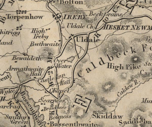
FD02NY23.jpg
"IREBY"
item:- JandMN : 100.1
Image © see bottom of page
|
|
|
| evidence:- |
old map:- Garnett 1850s-60s H
placename:- Ireby
|
| source data:- |
Map of the English Lakes, in Cumberland, Westmorland and
Lancashire, scale about 3.5 miles to 1 inch, published by John
Garnett, Windermere, Westmorland, 1850s-60s.
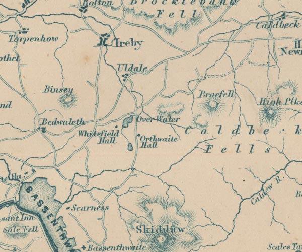
GAR2NY23.jpg
"Ireby"
blocks, settlement
item:- JandMN : 82.1
Image © see bottom of page
|
|
|
| evidence:- |
old map:- Postlethwaite 1877 (3rd edn 1913)
placename:- Ireby
|
| source data:- |
Map, uncoloured engraving, Map of the Lake District Mining Field, Westmorland, Cumberland,
Lancashire, scale about 5 miles to 1 inch, by John Postlethwaite, published by W H
Moss and Sons, 13 Lowther Street, Whitehaven, Cumberland, 1877 edn 1913.
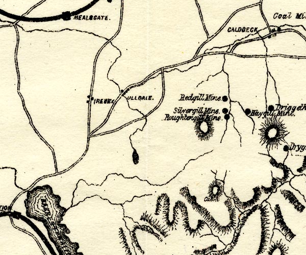
PST2NY23.jpg
"IRE[BY]"
dots, road
item:- JandMN : 162.2
Image © see bottom of page
|
|
|
| evidence:- |
market notes:-
placename:- Irby
item:- market
|
| source data:- |
www.history.ac.uk/cmh/gaz/gazweb2.htmPalmer's Index No.93:: Public Record Office: 1889: Market Rights and Tolls: HM GovernmentBowen, Emanuel &Kitchin, Thomas: 1760: New Map of the Counties of Cumberland and Westmoreland |
|
|
| evidence:- |
old map:- Horsley 1732
placename:- Arbeia
placename:- Ireby
|
| source data:- |
Map, uncoloured engraving, Britannia Antiqua, roman Britain,
scale about 50 miles to 1 inch, by John Horsley, perhaps 1732,
edition published about 1869?
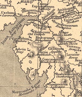 click to enlarge click to enlarge
HOR1Cm.jpg
"Arbeia / Ireby"
item:- JandMN : 429
Image © see bottom of page
|
|
|
| evidence:- |
old map:- Post Office 1850s-1900s
placename:- Ireby
|
| source data:- |
Post road maps, General Post Office Circulation Map for England
and Wales, for the General Post Office, London, 1850s-1900s.
 click to enlarge click to enlarge
POF7Cm.jpg
"Ireby"
map date 1909
|
|
|
:-
|
images courtesy of the British Postal Museum and Hampshire CC Museums
|
|
|
notes:-
|
The custom of bidding neighbours to a funeral was kept up here till the 1960s. The
last person to do the bidding was Dina Lightfoot who called on the neighbours, in
curlers, and plimsolls, for which service she charged half a crown.
|
|
|
| date:- |
1237
|
| period:- |
13th century |
| item:- |
charter; market charter
|
|
Market charter granted 1237, Thursday market, and an annual 3 day fair.
|
|
| places:- |
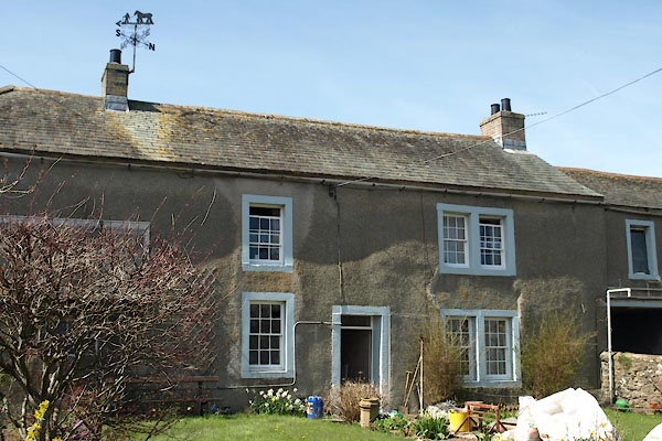 |
NY23823894 Croft House Farm (Ireby) L |
|
|
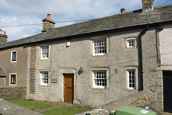 |
NY23863897 Dale View (Ireby) L |
|
|
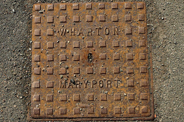 |
NY23763874 drain, Ireby (Ireby) |
|
|
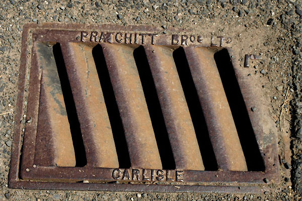 |
NY23843876 drain, Ireby (2) (Ireby) |
|
|
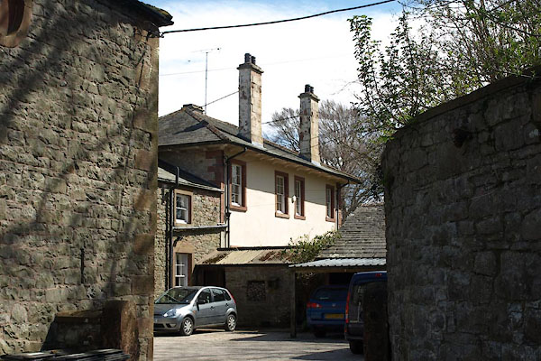 |
NY23953901 Ellenside House (Ireby) L |
|
|
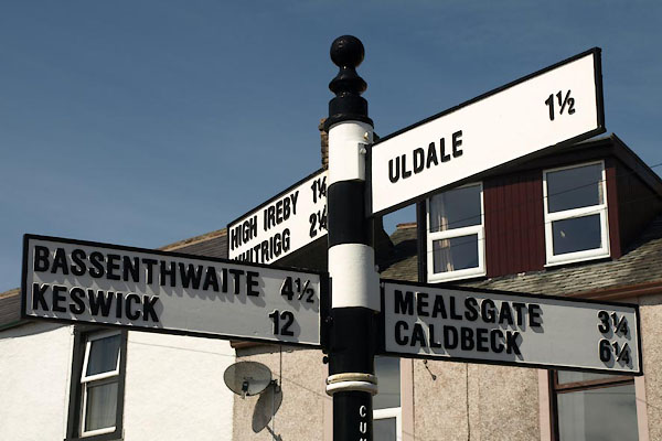 |
NY23823874 fingerpost, Ireby (2) (Ireby) |
|
|
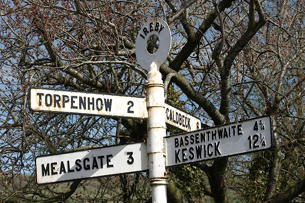 |
NY23863900 fingerpost, Ireby (3) (Ireby) |
|
|
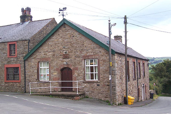 |
NY23843875 Globe Hall (Ireby) |
|
|
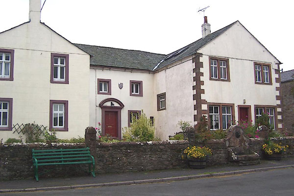 |
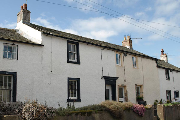
NY23803871 house, Ireby (Ireby) |
|
|
 |
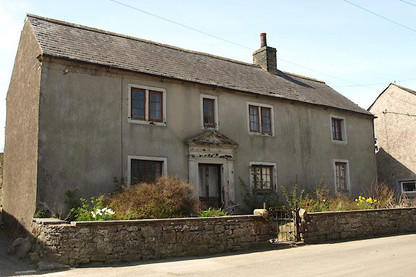
NY23843898 house, Ireby (2) (Ireby) |
|
|
 |
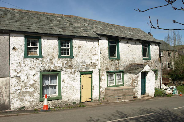
NY23843902 house, Ireby (3) (Ireby) |
|
|
 |
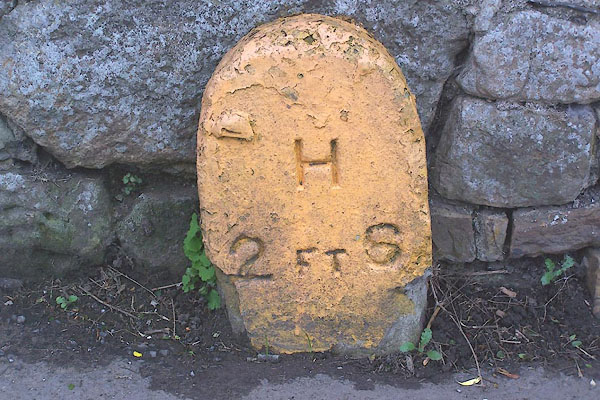
NY23873903 house, Ireby (4) (Ireby) |
|
|
 |
NY23843904 hydrant plate, Ireby (Ireby) |
|
|
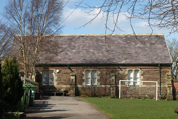 |
NY23773879 Ireby CofE Primary School (Ireby) |
|
|
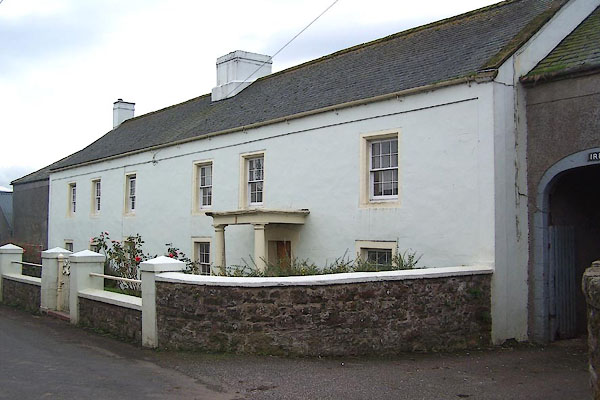 |
NY23673874 Ireby Hall (Ireby) L |
|
|
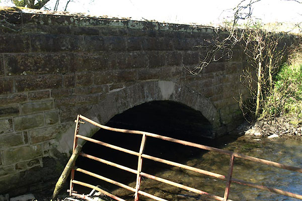 |
NY23943849 Ireby High Bridge (Ireby) |
|
|
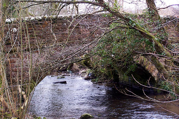 |
NY24083921 Ireby Low Bridge (Ireby / Boltons) |
|
|
 |
NY23903862 Ireby Mill (Ireby) |
|
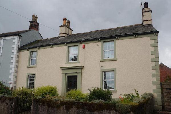
|
 |
NY23823916 Lime, The (Ireby) |
|
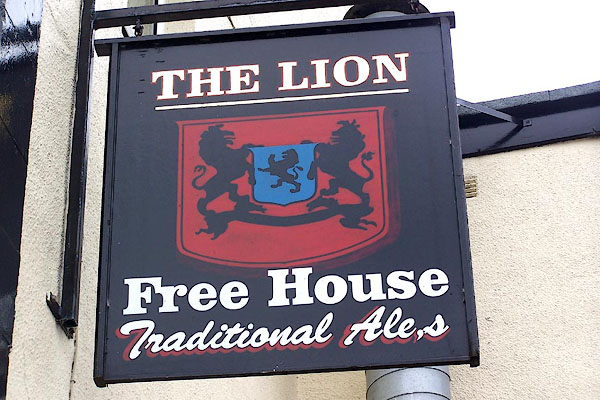
|
 |
NY23823876 Lion, The (Ireby) |
|
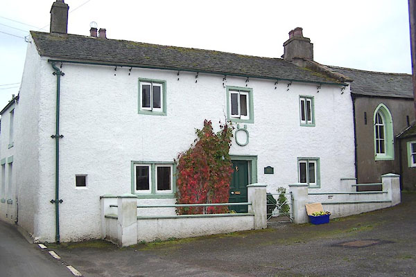
|
 |
NY23823871 Mains Hall (Ireby) L |
|
|
 |
NY23663853 Mains Hall (Ireby) gone |
|
|
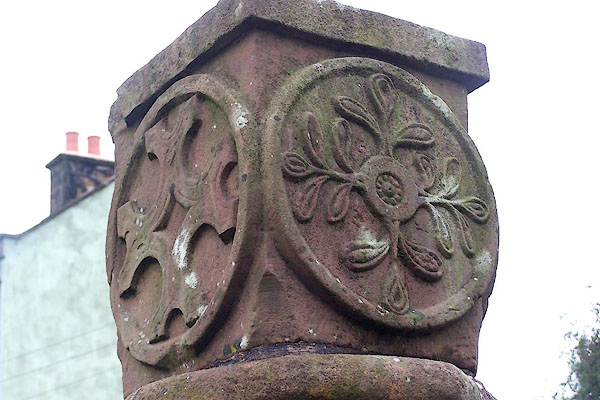 |
NY23793873 market cross, Ireby (Ireby) L |
|
|
 |
NY24123921 mill, Ireby (Ireby) |
|
|
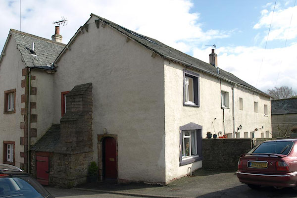 |
NY23783873 Moot Hall (Ireby) L |
|
|
 |
NY23853908 police house, Ireby (Ireby) |
|
|
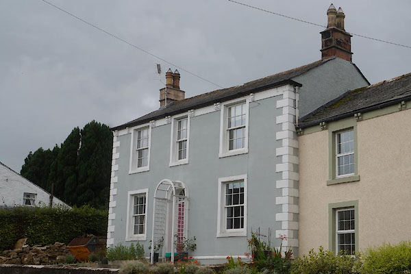 |
NY23823912 Red House (Ireby) |
|
|
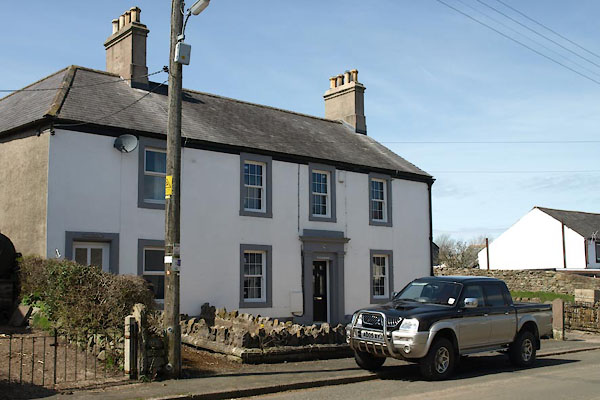 |
NY23823889 Rothery House (Ireby) |
|
|
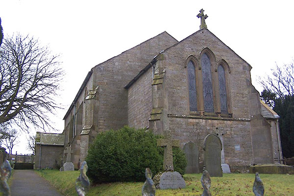 |
NY23793921 St James's Church (Ireby) |
|
|
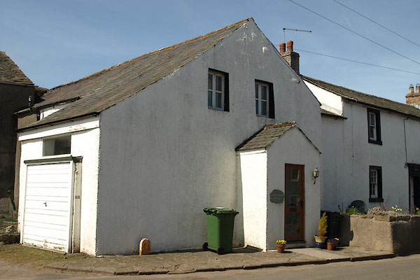 |
NY23843897 Standingstone Cottage (Ireby) L |
|
|
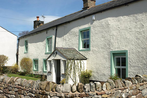 |
NY23853883 Sun, The (Ireby) |
|
|
 |
NY23503866 Tithe Barns (Ireby) |
|
|
 |
NY23593875 Townhead (Ireby) |
|
|
 |
NY23693927 vicarage, Ireby (Ireby) |
|
|
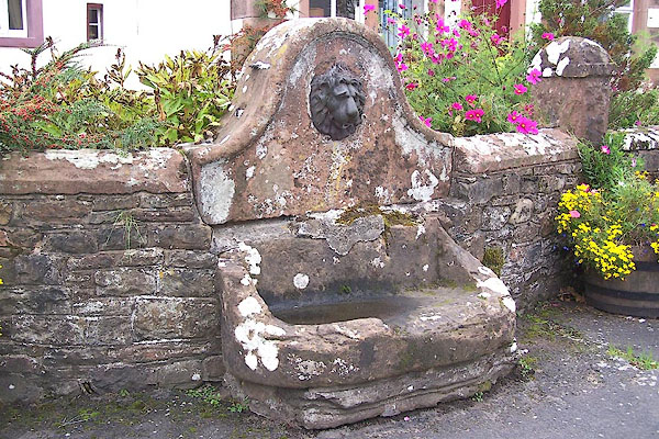 |
NY23813872 water trough, Ireby (3) (Ireby) |
|
|
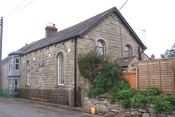 |
NY23843904 Wesleyan Chapel (Ireby) |
|
|
 |
NY23843897 Whent House (Ireby) L |
|
|
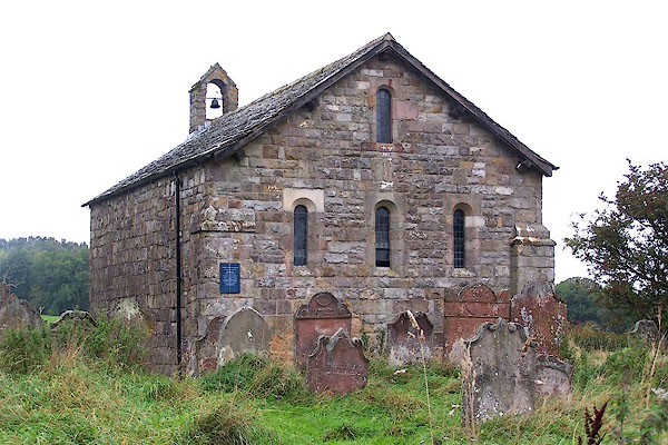 |
NY22393930 Ireby Old Chancel (Ireby) L |
|


 click to enlarge
 click to enlarge


 click to enlarge
 click to enlarge
 click to enlarge
 click to enlarge
 goto source
 goto source
 click to enlarge


 goto source
 goto source
 goto source
 click to enlarge
 goto source
 click to enlarge
 click to enlarge
 click to enlarge
 goto source
 click to enlarge
 click to enlarge
 goto source
 click to enlarge


 click to enlarge
 click to enlarge


