 |
 |
   |
|
|
|
Hutton Roof |
| civil parish:- |
Mungrisdale (formerly Cumberland) |
| county:- |
Cumbria |
| locality type:- |
locality |
| locality type:- |
buildings |
| coordinates:- |
NY37293411 (etc) |
| 1Km square:- |
NY3734 |
| 10Km square:- |
NY33 |
|
|
| evidence:- |
old map:- OS County Series (Cmd 48 10)
placename:- Hutton Roof
|
| source data:- |
Maps, County Series maps of Great Britain, scales 6 and 25
inches to 1 mile, published by the Ordnance Survey, Southampton,
Hampshire, from about 1863 to 1948.
|
|
|
| evidence:- |
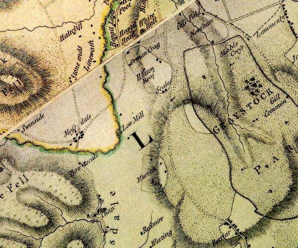
old map:- Donald 1774 (Cmd)
placename:- Hutton Roof
|
| source data:- |
Map, hand coloured engraving, 3x2 sheets, The County of Cumberland, scale about 1
inch to 1 mile, by Thomas Donald, engraved and published by Joseph Hodskinson, 29
Arundel Street, Strand, London, 1774.
D4NY33SE.jpg
"Hutton Roof"
block or blocks, labelled in lowercase; a hamlet or just a house
item:- Carlisle Library : Map 2
Image © Carlisle Library |
|
|
| places:- |
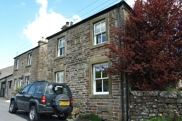 |
SD57037815 Ashwell (Hutton Roof) |
|
|
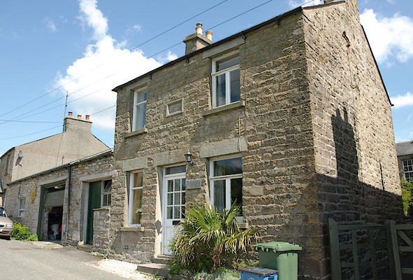 |
SD57047816 Becketts Cottage (Hutton Roof) |
|
|
 |
SD56827867 Cloughs Wood (Hutton Roof) |
|
|
 |
SD57007832 Crag Lane (Hutton Roof) |
|
|
 |
SD56937838 Crag Side (Hutton Roof) |
|
|
 |
NY37353411 Horse Shoe Inn (Mungrisdale) |
|
|
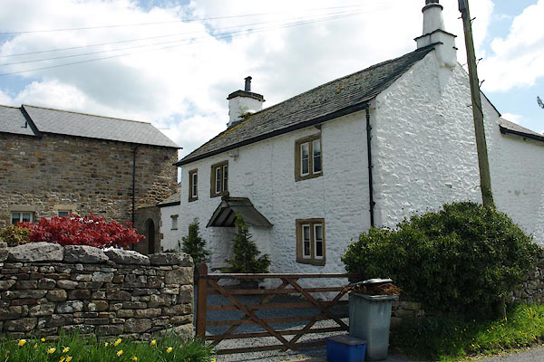 |
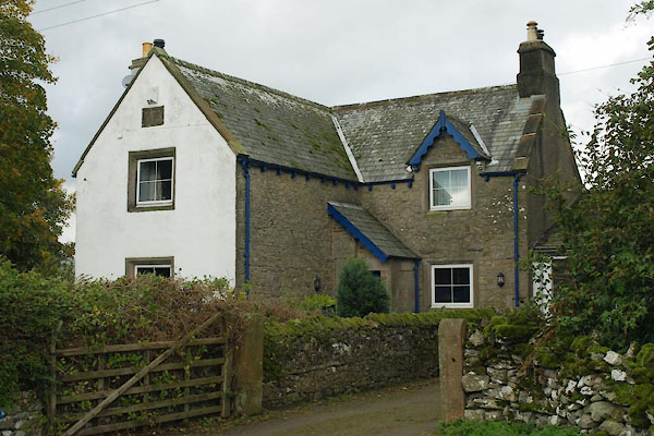
SD57037814 house, Hutton Roof (Hutton Roof) |
|
|
 |
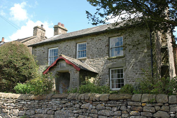
NY37273409 house, Hutton Roof (3) (Mungrisdale) |
|
|
 |
SD57047822 Hutton Roof Hall (Hutton Roof) |
|
|
 |
SD57397834 Hutton Roof Mill (Hutton Roof) gone |
|
|
 |
SD56987808 Low House (Hutton Roof) |
|
|
 |
SD57227832 Mill Lane (Hutton Roof) |
|
|
 |
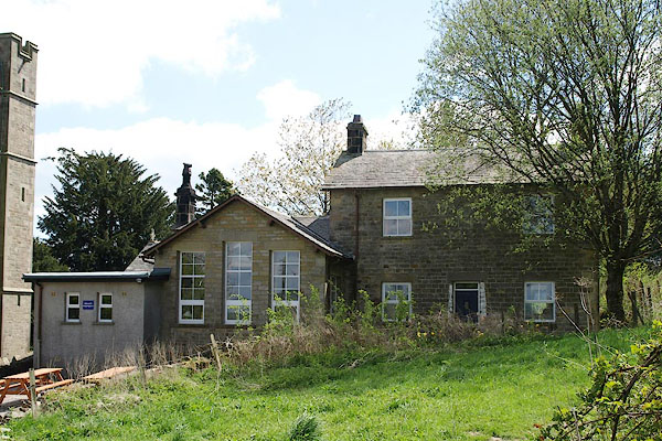
SD56967784 pinfold, Hutton Roof (Hutton Roof) |
|
|
 |
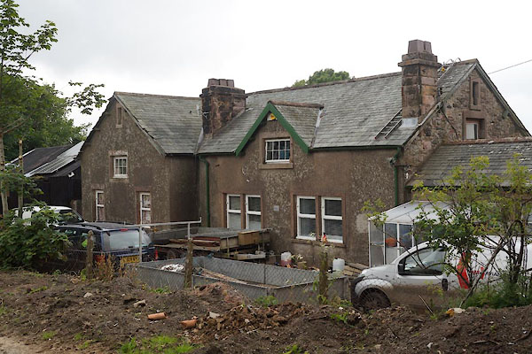
SD56917877 Hutton Roof School (Hutton Roof) |
|
|
 |
NY37223410 school, Hutton Roof (2) (Mungrisdale) |
|
|
 |
SD57127847 Shortbutts Lane (Hutton Roof) |
|
|
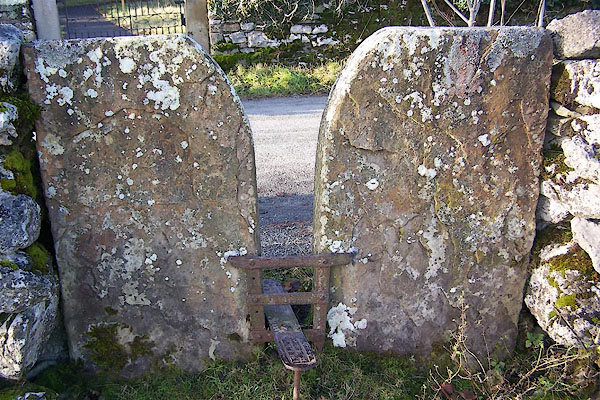 |
SD56967876 stile, Hutton Roof (Hutton Roof) |
|
|
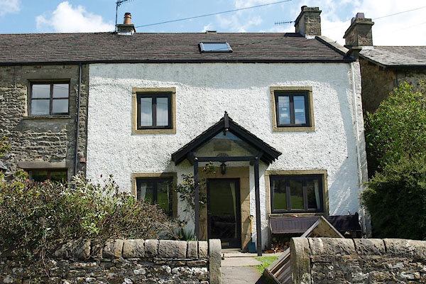 |
SD57047824 Turners Farm (Hutton Roof) L |
|
|
 |
SD56997856 Vicarage, The (Hutton Roof) |
|
|
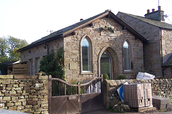 |
SD57037819 Wesleyan Chapel (Hutton Roof) |
|
|
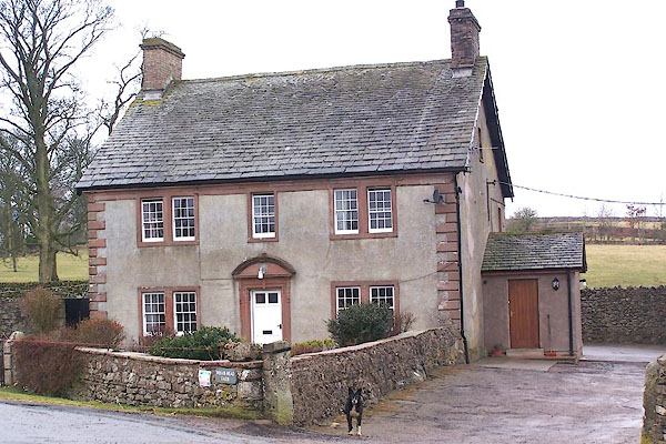 |
NY37443426 Wham Head Farm (Mungrisdale) L |
|
|
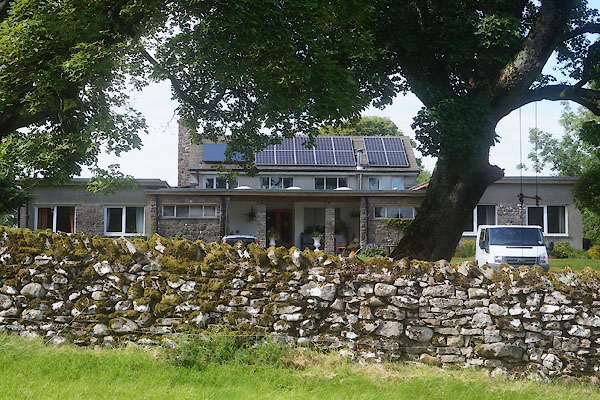 |
NY37323418 Wham Head Lodge (Mungrisdale) |
|
|
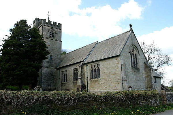 |
SD56937879 St John's Church (Hutton Roof) L |
|


