 Old Cumbria Gazetteer
 |
 |
|
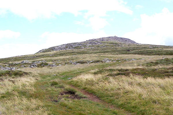
| hillfort, Carrock Fell | ||
| locality:- | Carrock Fell | |
| civil parish:- | Caldbeck (formerly Cumberland) | |
| civil parish:- | Mungrisdale (formerly Cumberland) | |
| county:- | Cumbria | |
| locality type:- | hillfort | |
| coordinates:- | NY34183363 (about) | |
| 1Km square:- | NY3433 | |
| 10Km square:- | NY33 | |
|
|
||
 BRC88.jpg (taken 20.7.2009) 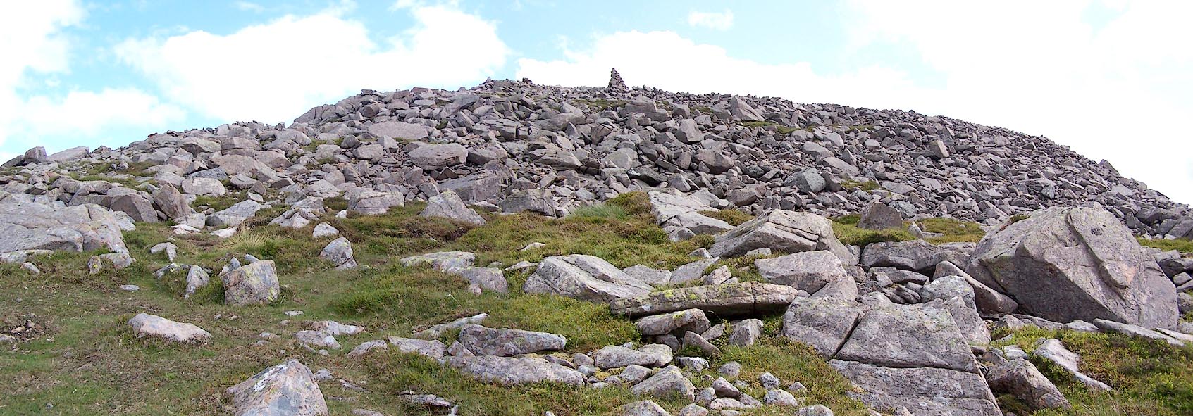 Click to enlarge BRC87.jpg (taken 20.7.2009) |
||
|
|
||
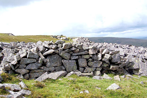
| evidence:- | old map:- OS County Series (Cmd 48 9) placename:- Druidical Temple |
|
| source data:- | Maps, County Series maps of Great Britain, scales 6 and 25
inches to 1 mile, published by the Ordnance Survey, Southampton,
Hampshire, from about 1863 to 1948. "Remains of Supposed Druidical Temple" |
|
| source data:- | Maps, County Series maps of Great Britain, scales 6 and 25
inches to 1 mile, published by the Ordnance Survey, Southampton,
Hampshire, from about 1863 to 1948. "Remains of Stone Circle" |
|
|
|
||
 BRC89.jpg (taken 20.7.2009) |
||
|
|
||
| hearsay:- |
Before the Romans the inhabitants of Cumbria were the Brigantes. It is suggested that
this was their capital |
|
|
|
||
| hearsay:- |
John Fell wrote a poem, A Tour of Carrock Fell, which describes an ascent in April
1862:- |
|
| "... a curious circular wall, The stones are piled together, In sizes great and small: The enclosure is fur acres, And of an oval shape; Some say 'it was a battery For soldiers to escape:' Others say: 'it was for judges, Who gravely read the law, And punished all the criminals For deeds down down below,' And others tell of worshippers, Who met in ancient time; Who chaunted on the summit, As being near the land sublime. Ther's a heap of stones collected, And placed about the middle, But to tell the why and wherefore Would seem to be a riddle." |
||
|
|
||
 Lakes Guides menu.