


placename:- Highhead Castle
placename:- Highyate Castle
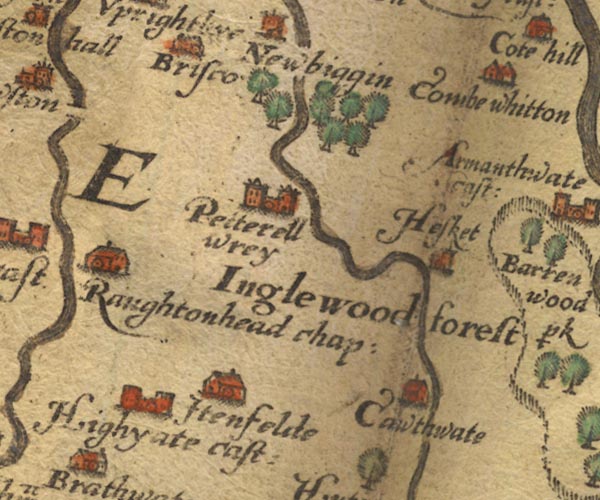
Sax9NY44.jpg
Building with two towers, symbol for a castle. "Highyate cast:"
item:- private collection : 2
Image © see bottom of page
placename:- Highyate Castle
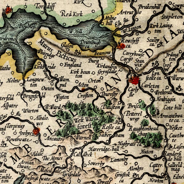
MER8CumC.jpg
"Highyate ca."
circle
item:- JandMN : 169
Image © see bottom of page
placename:- Highyate Castle
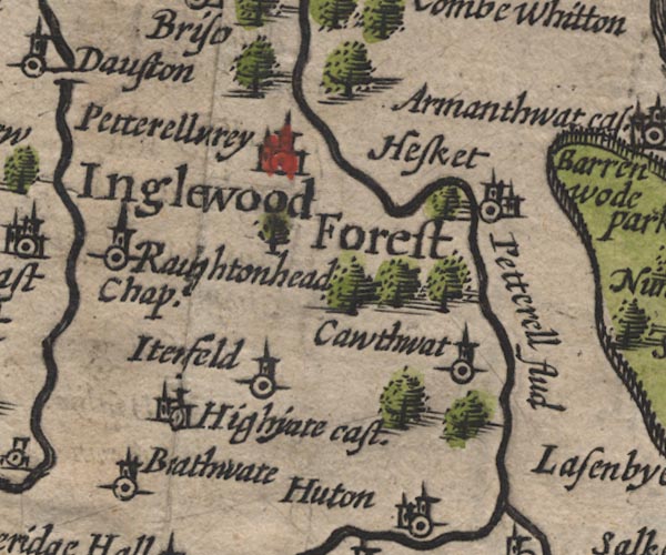
SP11NY44.jpg
"Highyate cast."
circle, building, tower
item:- private collection : 16
Image © see bottom of page
placename:- Highgate Castle
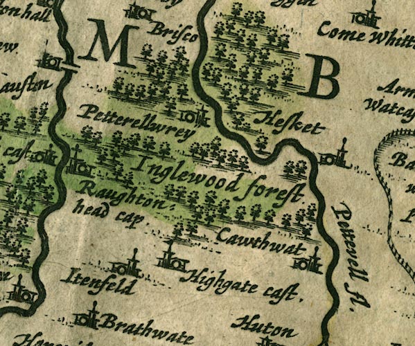
JAN3NY44.jpg
"Highgate cast."
Buildings and tower with flag.
item:- JandMN : 88
Image © see bottom of page
placename:- Higbyate
 click to enlarge
SAN2Cm.jpg
"Higbyate"
circle, building and tower, flag; town?
item:- Dove Cottage : 2007.38.15
Image © see bottom of page
placename:- Highgate Castle
 click to enlarge
SEL9.jpg
"Highgate Cast."
circle; castle
item:- Dove Cottage : 2007.38.89
Image © see bottom of page
placename:- Highgate Castle
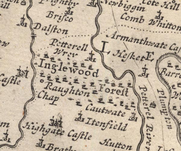
MD12NY44.jpg
"Highgate Castle"
Circle, building with two towers.
item:- JandMN : 90
Image © see bottom of page
placename:- High Head Castle
item:- rent, a rose
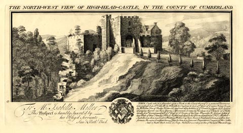 click to enlarge
BU0207.jpg
printed, top "THE NORTH-WEST VIEW OF HIGH-HEAD-CASTLE, IN THE COUNTY OF CUMBERLAND."
printed, bottom "THIS castle which is founded upon a Rock, & the Court thereof is a natural Pavement, was possess'd in 18th Edw. III. by William le Engleys & in ye 48th. Year of ye same Kings Reign, by William Son of Radus Restwold, and was then holden of ye Crown in Capite by ye Service of paying thereto one Rose Yearly. Afterwards it came by Purchase to ye Family of ye Richmonds, in wch. it continued till ye 3d. Year of ye Reign of his late Majesty K. George, when ye last Male of that Family (Henry Richmond) died in his Bloom unmarried. His Mother Isabella was then married to Matthias Miller Esqr. her Second Husband, whom, as well as her former, She surviv'd without having Issue by him, & is ye present Proprietor & Occupier of this Castle. / Saml. &Nathl. Buck delin: et Sculp. Publish'd according to Act of Parliamt. March 26. 1739."
item:- Armitt Library : 1959.67.7
Image © see bottom of page
placename:- Highgate Castle
 click to enlarge
BD10.jpg
"Highgate C."
circle, italic lowercase text; village, hamlet or locality
item:- JandMN : 115
Image © see bottom of page
placename:- Highgate Castle
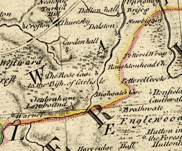
BO18NY34.jpg
"Highgate Cas."
circle and flag
item:- Armitt Library : 2008.14.10
Image © see bottom of page
placename:- Highhead Castle
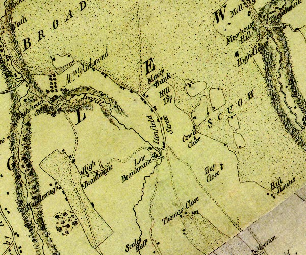
D4NY44SW.jpg
"Highhead Castle / Mrs. Richmond"
large building; a castle,
house, avenue of trees, church
item:- Carlisle Library : Map 2
Image © Carlisle Library
placename:- Highgate Castle
placename:- Heathcot Castle
item:- deer
 goto source
Page 105:- "..."
"I do not find any ancient authors mention a castle here [Castlerigg], Speed, who speaks of twenty-five in Cumberland, hath found out every one I ever heard or knew of, except Kirkoswald; how that has escaped him I cannot tell. I shall here put down their names, and, as well as I can, their most ancient owners, and supposed founders."
"..."
 goto source
Page 106:- "..."
"13. HIGHGATE, - Or Heathcot, where Richmond the King's Forester, (or hind,) lived. It is said by different authors that Edward the I. killed one hundred bucks in this forest in one day with his own hand."
"..."
placename:- Highyate Castle
 goto source
Page 174:- "..."
"On the Caude ... is Highyate, a castle of the Richmonds, ..."
placename:- Highhed Castel
placename:- Pela de Highhead
placename:- Highhead, Pela de
 goto source
Page 192:- "..."
""Hyghhed castel six or seven miles from Cairluel by south on the beck on Ivebek." The inquisitions of the reign of Edward III. call it Pela de Highhead, and on the attainder of Andrew de Harcla it was granted to the Dacres. It was bought by the Richmonds t. Henry VIII. and still belongs to them."
placename:- High Head Castle
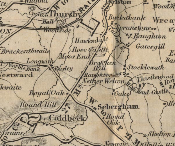
FD02NY34.jpg
"High Head Ca."
item:- JandMN : 100.1
Image © see bottom of page
placename:- Heyvehead
item:- licence to crenellate
Licence to crenellate granted by Edward III; 6 October 1342:- "Willielmus Lengleys dilectus valletus noster ... manerium suum de Heyvehead."
placename:- Highhead Castle
item:- gateway
 click to enlarge
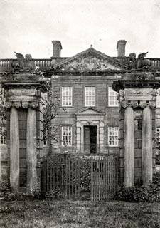
CW0140.jpg
Tipped in opposite p.210 of The Castles and Fortified Towers of Cumberland, Westmorland, and Lancashire North of the Sands, by John F Curwen.
printed at bottom:- "HIGHHEAD CASTLE The Gateway."
item:- Armitt Library : A782.40
Image © see bottom of page
placename:- Heyheved tower
placename:- Hehed castle
placename:- Heighheved castle
placename:- Hyghett castle
placename:- Highened castle
placename:- Highed castle
placename:- Highyate castle
placename:- Hegatcastle
placename:- Highgate castle
placename:- Arches, The
courtesy of English Heritage
"THE ARCHES / / / SKELTON / EDEN / CUMBRIA / II / 73950 / NY4022043373"
courtesy of English Heritage
"GARDEN GATE, PIERS AND WALL IMMEDIATELY NORTH OF EIGHTEENTH CENTURY WING OF HIGH HEAD CASTLE / / / SKELTON / EDEN / CUMBRIA / II[star] / 73947 / NY4028043369"
courtesy of English Heritage
"Gate piers and wall in front of High Head Castle. 1744-7. Red sandstone ashlar with calciferous sandstone dressings. Central square rusticated gate piers with front paired engaged fluted columns and rear pilastered niches, under shaped caps. Flanking low walls with moulded flat coping, ending at either side in further rusticated square piers. The winged figures which formerly surmounted the central piers have been moved to another location."
courtesy of English Heritage
"HIGH HEAD CASTLE EIGHTEENTH CENTURY WING / / / SKELTON / EDEN / CUMBRIA / II[star] / 73946 / NY4027943334"
courtesy of English Heritage
"Country house in ruins, built on the site of a medieval castle. 1744-7, probably by James Gibbs for the Brougham family, partly destroyed by fire 1956. Red sandstone ashlar with string course, eaves modillions, open balustraded parapet and V-jointed quoins. Roofless but with banded ashlar sandstone chimney stacks. 2 storeys, 11 bays. Projecting pedimented 3-bay centre, with carved ornament in pediment, has central door in alternate-block surround with entablature and pediment. Stone window architraves. Return and rear walls are partly in ruins. Interior completely gutted. See Transactions Cumberland & Westmorland Antiquarian &Archaeological Society, new series, xi, pp.379-384; for the attribution to James Gibbs see G. Beard, 'The Greater House in Cumbria', 1979, pp...... Derelict and unoccupied at the time of survey; owner's application to demolish refused in 1985."
courtesy of English Heritage
"TUDOR WING WEST OF HIGH HEAD CASTLE / / / SKELTON / EDEN / CUMBRIA / II[star] / 73948 / NY4026543332"
courtesy of English Heritage
"Tudor wing of High Head Castle, partly incorporated in C18 wing, now in ruins. Mid C16 for the Richmond family with C19 and C20 alterations, partly destroyed by fire in 1956. Thick red sandstone rubble walls with eaves cornice and parapet; without roof. 2 storeys, 5 bays. The present facade, originally the rear, without doorways; the left open doorway is therefore C20; and 2 C19 doorways are now blocked to form windows. 4-light hollow-chamfered stone-mullioned windows, with rounded heads, under hoodmoulds; the small chamfered-surround windows are apparently C20 and ground-floor 2-light matching windows (in former doorways) are also C20. A right ground-floor window has been completely removed leaving an open arch, partly covered by a small ruined lean-to washhouse/outhouse which is probably C18 but on earlier foundations. The former facade was completely plastered over when the C18 wing was constructed and formed an internal dividing wall. Now the building is in ruins, the plaster falling off, revealing blocked 4-light chamfered windows and a panel of Richmond arms. A central staircase has been knocked through. The interior is partly filled with fallen rubble but retains some window seats and fireplace recesses. Whilst an integral part of the C18 Castle this was originally a free-standing building and should anything happen to the C18 wing, then this would revert to its original form and be the only visible remains of the medieval castle. See Transactions Cumberland & Westmorland Antiquarian &Archaeological Society, new series, xi, 379-384."
courtesy of English Heritage
"SERVANTS' WING NORTH WEST OF HIGH HEAD CASTLE EIGHTEENTH CENTURY WING / / / SKELTON / EDEN / CUMBRIA / II / 73949 / NY4025943348"
courtesy of English Heritage
"Servants' wing for High Head Castle. Early C19. Dressed red sandstone with flush quoins, under graduated greenslate roof with coped gables and ball finials; banded red sandstone ashlar chimney stacks. 2 storeys, 4 bays. Sash windows with glazing bars in plain reveals. Right return wall has C20 door in plain opening. Left return wall has upper-floor round opening. Rear wall blank with central open pediment. Listed for group value with C18 wing of High Head Castle."
courtesy of English Heritage
"GATE PIERS BESIDE THE LODGE NORTH OF HIGH HEAD CASTLE / / / SKELTON / EDEN / CUMBRIA / II / 73952 / NY4012944046"
placename:- High Head Castle
 click to enlarge
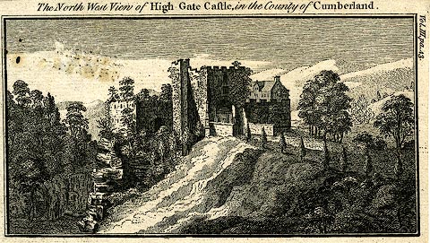
PR0186.jpg
Included in vol.3 p.43 of a set of castle pictures?
printed at bottom:- "The North West View of High Gate Castle, in the County of Cumberland."
printed at top left of page:- "Vol.III pa.43."
item:- Dove Cottage : 2008.107.186
Image © see bottom of page
