 |
 |
|
|
|
|
High Green |
|
|
| locality:- |
Troutbeck |
| civil parish:- |
Lakes (formerly Westmorland) |
| county:- |
Cumbria |
| locality type:- |
locality |
| locality type:- |
buildings |
| coordinates:- |
NY41190364 (etc) |
| 1Km square:- |
NY4103 |
| 10Km square:- |
NY40 |
|
|
| evidence:- |
old map:- OS County Series (Wmd 26 12)
placename:- High Green
placename:- Green, High
|
| source data:- |
Maps, County Series maps of Great Britain, scales 6 and 25
inches to 1 mile, published by the Ordnance Survey, Southampton,
Hampshire, from about 1863 to 1948.
|
|
|
| evidence:- |
old text:- Martineau 1855
|
| source data:- |
Guide book, A Complete Guide to the English Lakes, by Harriet
Martineau, published by John Garnett, Windermere, Westmorland,
and by Whittaker and Co, London, 1855; published 1855-76.
 goto source goto source
Page 34:- "Troutbeck ... The valley now contains a string of hamlets,- Town End, Town Head, High
Green, Crag, and High Fold; and its farmsteads and outbuildings show some of the most
curious specimens of ancient edifices that are to be seen in the district. ..."
|
|
|
| places:- |
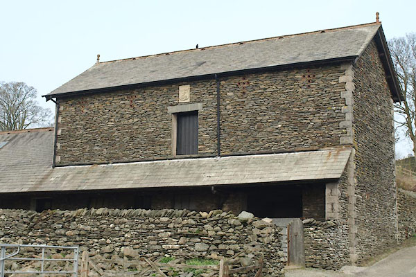 |
NY41150354 barn, Troutbeck (Lakes) |
|
|
 |
NY41150356 Beckside (Lakes) L |
|
|
 |
NY41190369 Bessyboot (Lakes) L |
|
|
 |
NY41200369 garage, Troutbeck (Windermere) |
|
|
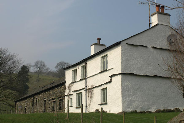 |
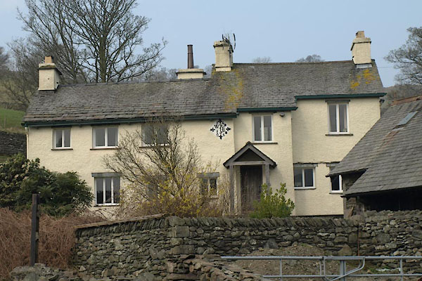
NY41180360 High Green Farm (Lakes) L |
|
|
 |
NY41220367 house, Troutbeck (2) (Lakes) L |
|
|
 |
NY41090342 Jaunie Wife House (Windermere) L |
|
|
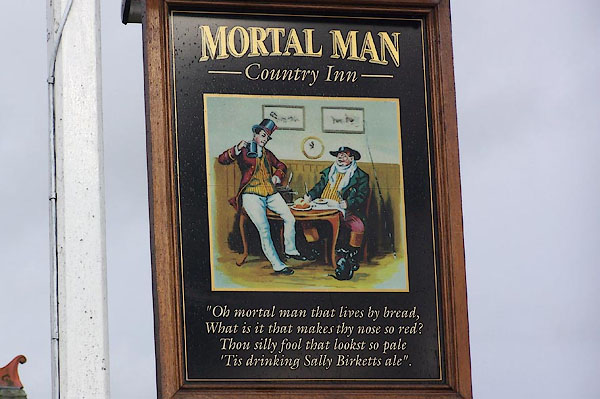 |
NY41100348 Mortal Man (Lakes) L |
|
|
|
NY41190370 post box, Troutbeck (3) (Lakes) |
|
|
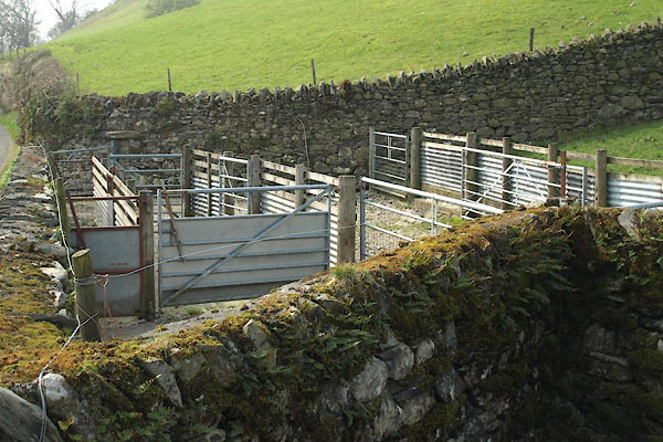 |
NY41110363 sheepfold, Troutbeck (3) (Lakes) |
|
|
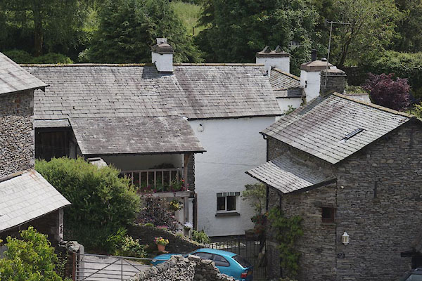 |
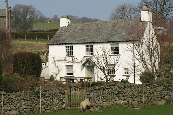
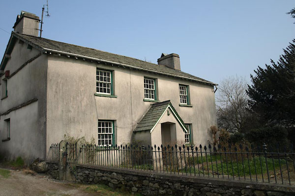
NY41170353 Yew Tree Cottage (Lakes) L |
|
