


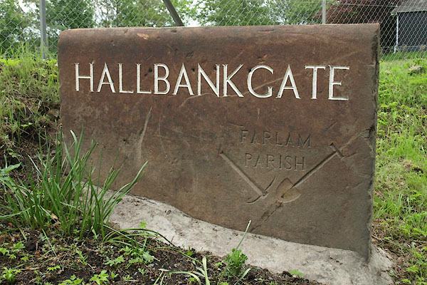
BUO70.jpg Village sign.,
(taken 21.5.2011)
placename:- Hallbank Gate
placename:- Hallbank
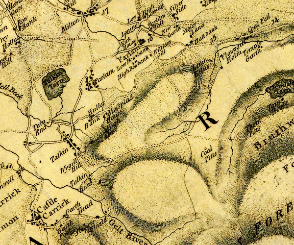
D4NY55NE.jpg
"Hallbank"
block or blocks, labelled in lowercase; a hamlet or just a house
item:- Carlisle Library : Map 2
Image © Carlisle Library
 click to enlarge
JS5100.jpg
item:- private collection : 268.15
Image © see bottom of page
placename:- Hallbankgate
 click to enlarge
POF7Cm.jpg
"Hallbankgate"
map date 1909
 |
NY58125960 Bank Hall Inn (Farlam) |
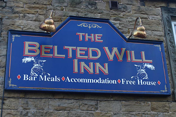 |
NY57975961 Belted Will Inn (Farlam) |
 |
NY58225960 Black Hill (Farlam) |
 |
NY58095931 Clement Leazes (Farlam) |
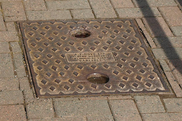 |
NY57965964 drain, Hallbankgate (Farlam) |
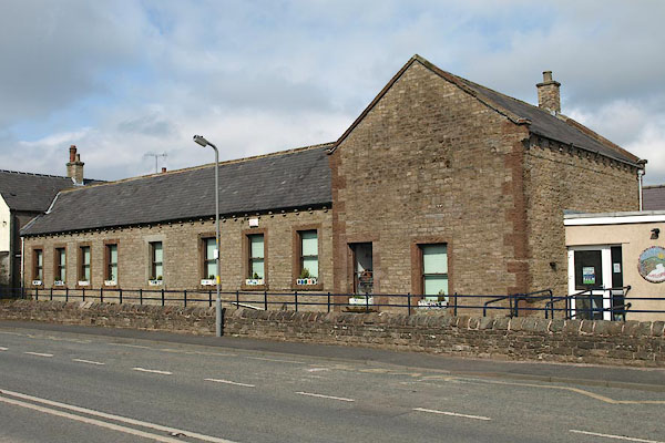 |
NY57955967 Hallbankgate Village School (Farlam) |
 |
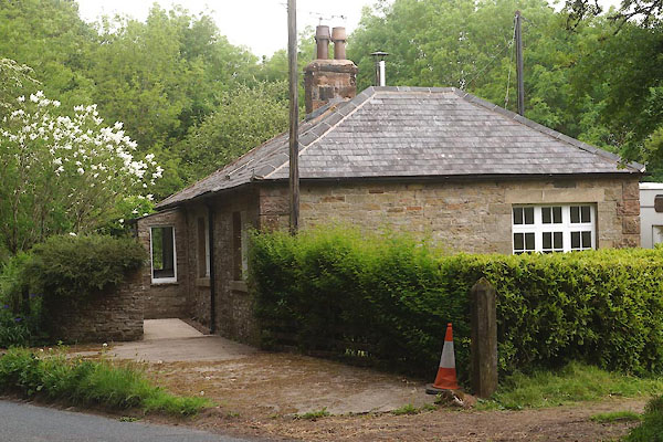
NY57965972 Hallbankgate Waggonway (Farlam) |
 |
NY57795974 Plane Head (Farlam) L |
 |
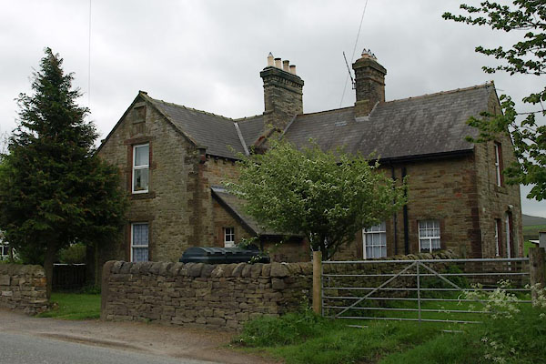
NY57945963 police house, Hallbankgate (Farlam) |
 |
NY57915965 Reading Room House (Farlam) |
 |
NY58165945 Via, The (Farlam) |
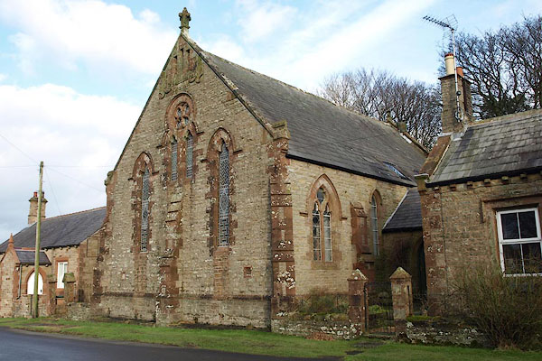 |
NY58065957 Wesleyan Chapel (Farlam) |
 |
NY58065961 Hallbankgate Bridge (Farlam) suggested |
