 Old Cumbria Gazetteer
 |
 |
|
| Plane Head, Hallbankgate | ||
| Plane Head | ||
| locality:- | Hallbankgate | |
| civil parish:- | Farlam (formerly Cumberland) | |
| county:- | Cumbria | |
| locality type:- | buildings | |
| coordinates:- | NY57795974 | |
| 1Km square:- | NY5759 | |
| 10Km square:- | NY55 | |
| references:- | Listed Buildings 2010 |
|
|
|
||
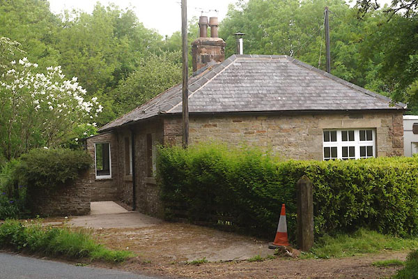 CFC53.jpg (taken 10.6.2016) |
||
|
|
||
| evidence:- | old map:- OS County Series (Cmd 18 11) placename:- Plane Head |
|
| source data:- | Maps, County Series maps of Great Britain, scales 6 and 25
inches to 1 mile, published by the Ordnance Survey, Southampton,
Hampshire, from about 1863 to 1948. |
|
|
|
||
| evidence:- | database:- Listed Buildings 2010 placename:- Plane Head |
|
| source data:- | courtesy of English Heritage "PLANE HEAD / / / FARLAM / CARLISLE / CUMBRIA / II / 78023 / NY5779759740" |
|
|
|
||
 Lakes Guides menu.