 Old Cumbria Gazetteer
 |
 |
|
||
| Hagg Gill | ||||
| runs into:- |  Trout Beck (5) Trout Beck (5) |
|||
|
|
||||
| locality:- | Troutbeck | |||
| civil parish:- | Lakes (formerly Westmorland) | |||
| county:- | Cumbria | |||
| locality type:- | river | |||
| 1Km square:- | NY4206 (etc) | |||
| 10Km square:- | NY40 | |||
|
|
||||
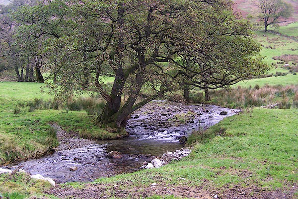 BMY39.jpg Just below Troutbeck Park farm. (taken 5.11.2006) |
||||
|
|
||||
| evidence:- | old map:- OS County Series (Wmd 26 4) placename:- Hag Gill |
|||
| source data:- | Maps, County Series maps of Great Britain, scales 6 and 25
inches to 1 mile, published by the Ordnance Survey, Southampton,
Hampshire, from about 1863 to 1948. |
|||
|
|
||||
| places:- |
|
|||
Lakes Guides menu.