 |
 |
|
|
|
|
Greenwell |
| civil parish:- |
Hayton (formerly Cumberland) |
| civil parish:- |
Castle Carrock (formerly Cumberland) |
| county:- |
Cumbria |
| locality type:- |
locality |
| locality type:- |
buildings |
| coordinates:- |
NY53695644 (etc) |
| 1Km square:- |
NY5356 |
| 10Km square:- |
NY55 |
|
|
| evidence:- |
old map:- OS County Series (Cmd 25 1)
placename:- Greenwell
|
| source data:- |
Maps, County Series maps of Great Britain, scales 6 and 25
inches to 1 mile, published by the Ordnance Survey, Southampton,
Hampshire, from about 1863 to 1948.
|
|
|
| evidence:- |
old map:- Donald 1774 (Cmd)
placename:- Greenwell
|
| source data:- |
Map, hand coloured engraving, 3x2 sheets, The County of Cumberland, scale about 1
inch to 1 mile, by Thomas Donald, engraved and published by Joseph Hodskinson, 29
Arundel Street, Strand, London, 1774.
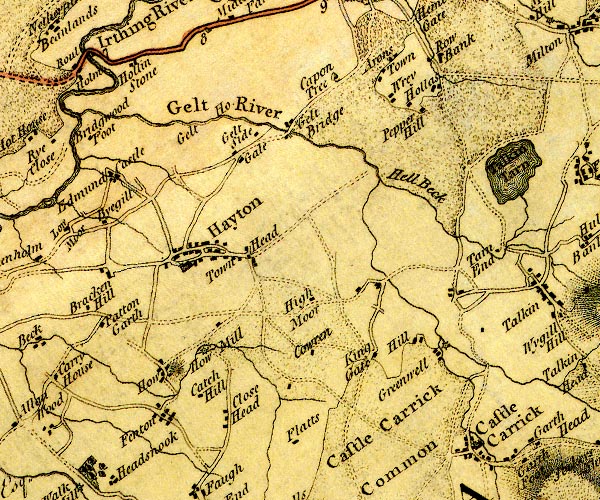
D4NY55NW.jpg
"Greenwell"
block or blocks, labelled in lowercase; a hamlet or just a house
item:- Carlisle Library : Map 2
Image © Carlisle Library |
|
|
| places:- |
 |
SD71658627 Cage Farm (Dent) L |
|
|
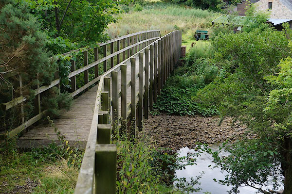 |
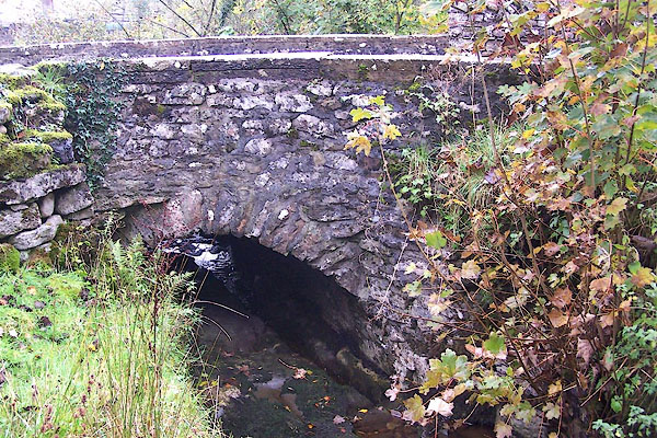
NY53725661 footbridge, Greenwell (Hayton / Castle Carrock) |
|
|
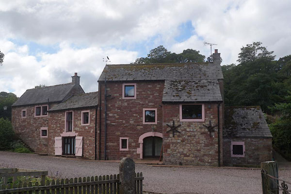 |
NY53695654 Gelt Mill (Hayton) L |
|
|
 |
NY53675673 Gelt Mill (Hayton) |
|
|
 |
NY53595607 Green Well (Castle Carrock) |
|
|
 |
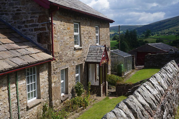
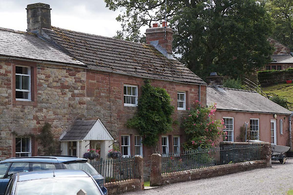
NY53735642 Greenwell Cottage (Castle Carrock) L |
|
|
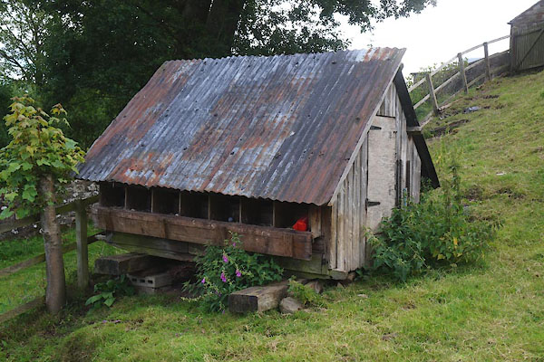 |
NY53735634 hen house, Greenwell (Castle Carrock) |
|
|
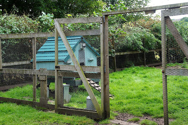 |
NY53705647 hen house, Greenwell (2) (Hayton) |
|
|
|
NY53495655 Hill, The (Hayton) |
|
|
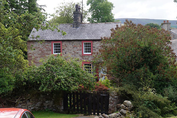 |
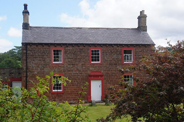
NY53725640 house, Greenwell (Castle Carrock) L |
|
|
 |
NY53735638 house, Greenwell (2) (Castle Carrock) |
|
|
 |
SD71458628 Howgill Bridge (Dent) |
|
|
 |
SD71478629 Howgill House (Dent) L |
|
|
|
NY53825662 Millholme Wood (Hayton) |
|
|
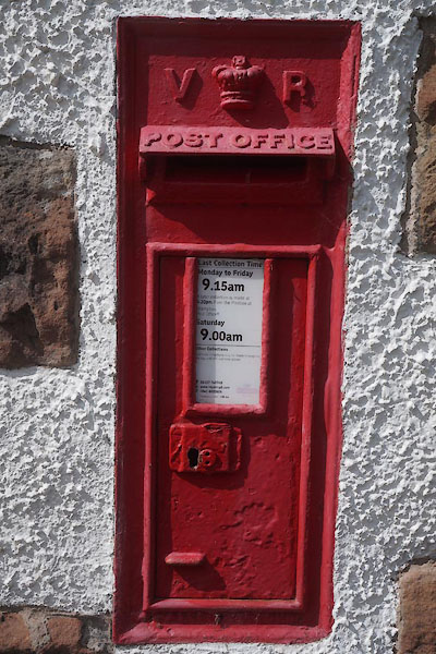 |
NY53685644 post box, Greenwell (Hayton) |
|
|
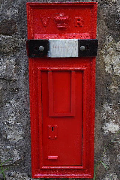 |
SD71468629 post box, Greenwell (2) (Dent) |
|
|
 |
NY53695647 shed, Greenwell (Hayton) |
|
|
|
NY53655625 St John's Well (Castle Carrock) |
|
|
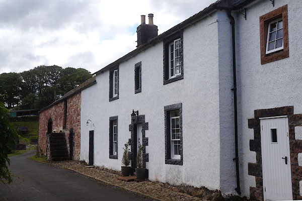 |
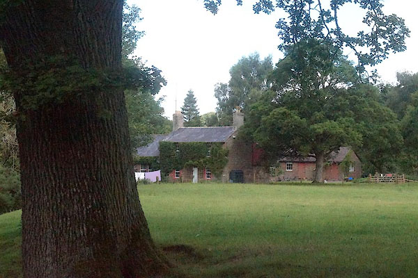
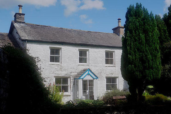
NY53695643 Greenwell Farm (Hayton) L |
|
|
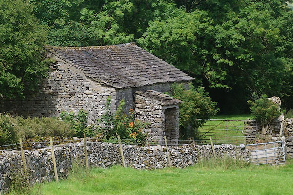 |
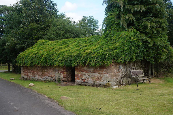
SD71488633 barn, Greenwell (Dent) |
|
