 Old Cumbria Gazetteer
 |
 |
|
| Gelt Mill, Greenwell (2) | ||
| Gelt Mill | ||
| site name:- | Gelt, River | |
| locality:- | Greenwell | |
| civil parish:- | Hayton (formerly Cumberland) | |
| county:- | Cumbria | |
| locality type:- | buildings | |
| locality type:- | mill (ex) | |
| locality type:- | water mill | |
| coordinates:- | NY53675673 | |
| 1Km square:- | NY5356 | |
| 10Km square:- | NY55 | |
|
|
||
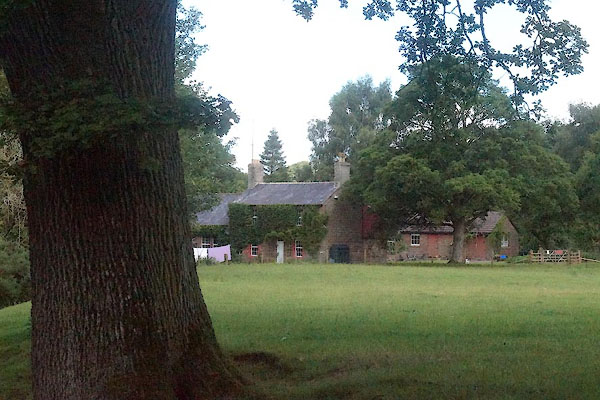 CBG52.jpg (taken 28.7.2014) |
||
|
|
||
| evidence:- | probably old map:- OS County Series (Cmd 25 1) placename:- Millholme |
|
| source data:- | Maps, County Series maps of Great Britain, scales 6 and 25
inches to 1 mile, published by the Ordnance Survey, Southampton,
Hampshire, from about 1863 to 1948. |
|
|
|
||
 Lakes Guides menu.