Old Cumbria Gazetteer
 |
 |
|
||
| Greenburn Beck | ||||
| runs into:- |  Little Langdale Tarn, Little Langdale Little Langdale Tarn, Little Langdale |
|||
|
|
||||
| locality:- | Greenburn | |||
| civil parish:- | Coniston (formerly Lancashire) | |||
| county:- | Cumbria | |||
| locality type:- | river | |||
| 1Km square:- | NY2902 (etc) | |||
| 10Km square:- | NY20 | |||
|
|
||||
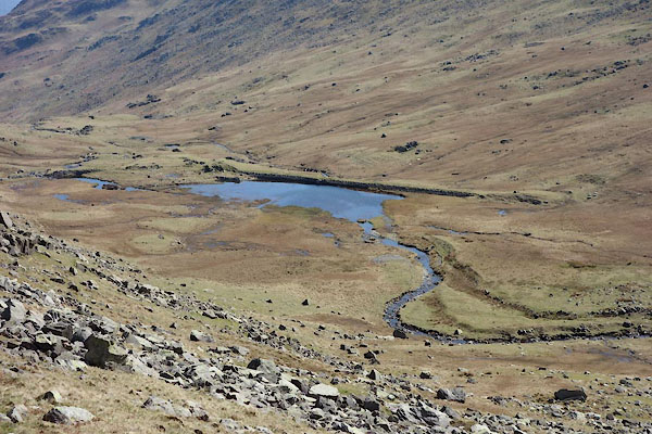
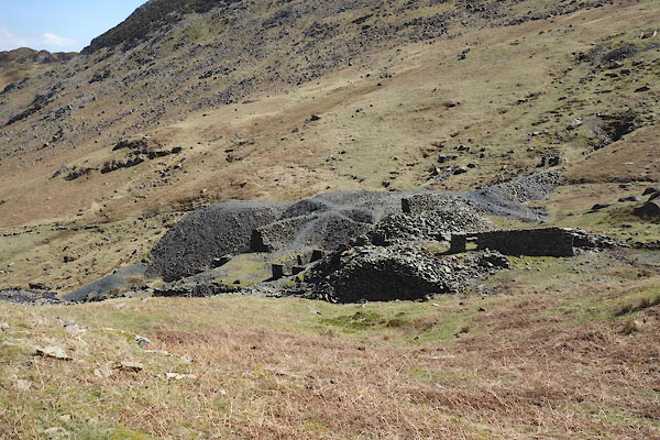
 CBZ80.jpg (taken 29.10.2014) 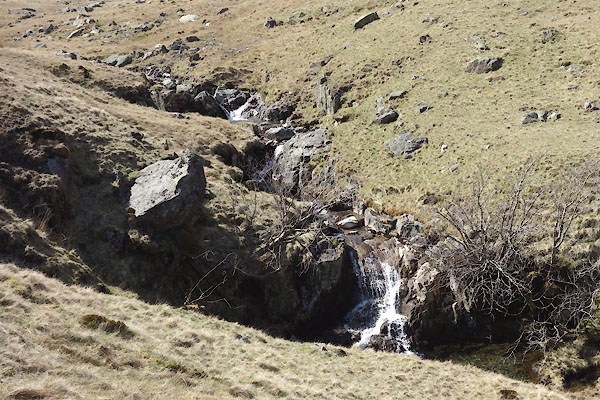 CCX92.jpg (taken 22.4.2015) |
||||
|
|
||||
| evidence:- | old map:- OS County Series (Lan 1 8) placename:- Greenburn Beck |
|||
| source data:- | Maps, County Series maps of Great Britain, scales 6 and 25
inches to 1 mile, published by the Ordnance Survey, Southampton,
Hampshire, from about 1863 to 1948. |
|||
|
|
||||
| evidence:- | old map:- Jefferys 1770 (Wmd) |
|||
| source data:- | Map, 4 sheets, The County of Westmoreland, scale 1 inch to 1
mile, surveyed 1768, and engraved and published by Thomas
Jefferys, London, 1770.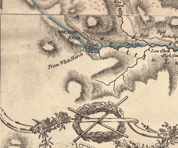 J5NY20SE.jpg single or double wiggly line; river item:- National Library of Scotland : EME.s.47 Image © National Library of Scotland |
|||
|
|
||||
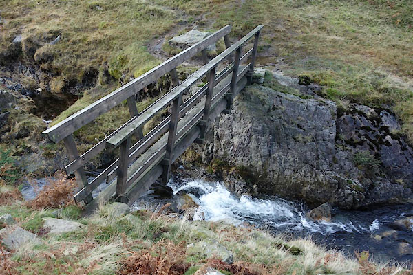
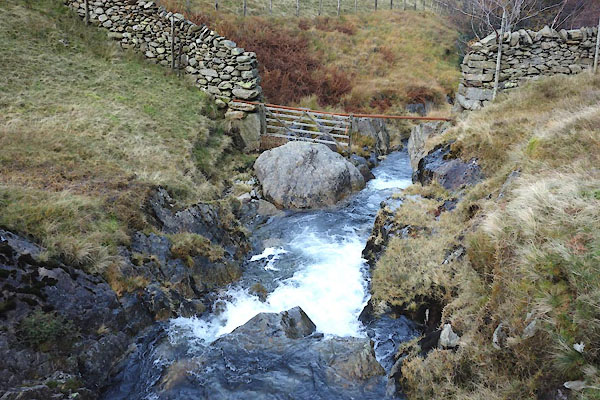
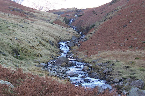 BTU44.jpg (taken 10.11.2010) 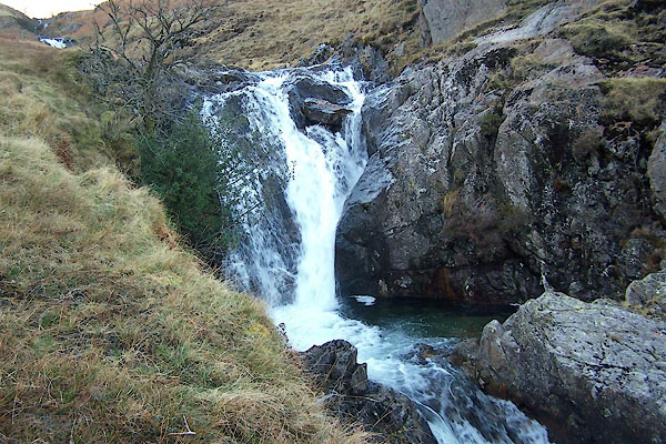 BTU45.jpg (taken 10.11.2010) 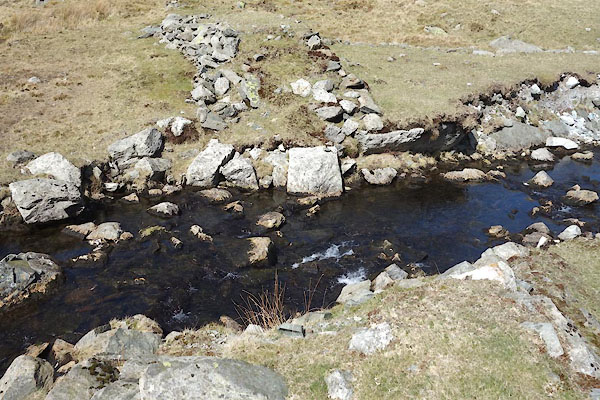 CCY01.jpg exiting the reservoir, (taken 22.4.2015) 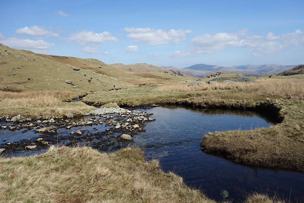 CCY02.jpg (taken 22.4.2015) |
||||
|
|
||||
| places:- |
|
|||
|
||||
|
||||
Lakes Guides menu.