


placename:- Great Broughton
placename:- Broughton, Great
placename:- Broughton
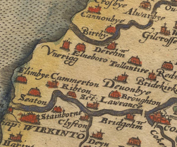
Sax9NY03.jpg
Building, symbol for a hamlet, which may or may not have a nucleus. "Broughton"
item:- private collection : 2
Image © see bottom of page
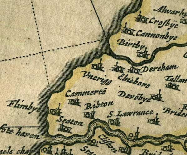
JAN3NY03.jpg
Buildings and tower.
item:- JandMN : 88
Image © see bottom of page
placename:- Great Broughton
placename:- Broughton, Great
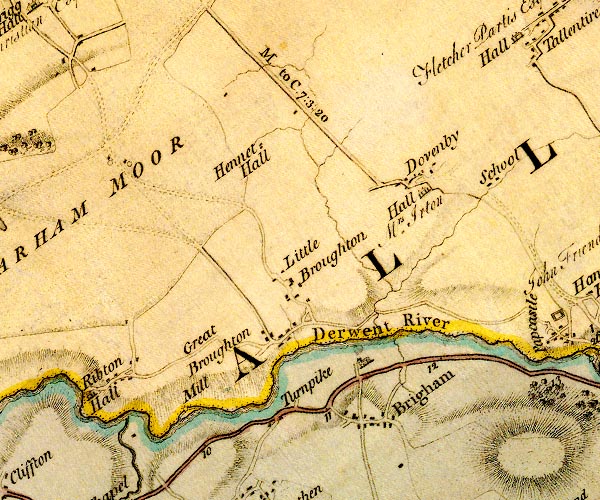
D4NY03SE.jpg
"Great Broughton"
block or blocks, labelled in lowercase; a hamlet or just a house
item:- Carlisle Library : Map 2
Image © Carlisle Library
placename:- Broughton
 click to enlarge
COP3.jpg
"Broughton"
circle; village or hamlet
item:- JandMN : 86
Image © see bottom of page
placename:- Great Broughton
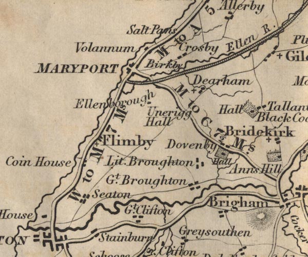
FD02NY03.jpg
"Gt. Broughton"
item:- JandMN : 100.1
Image © see bottom of page
placename:- Great Broughton
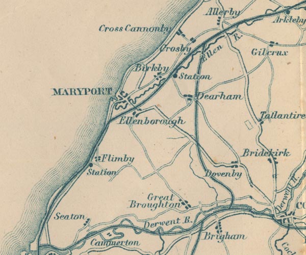
GAR2NY03.jpg
"Great Broughton"
blocks, settlement
item:- JandMN : 82.1
Image © see bottom of page
placename:- Great Broughton
 click to enlarge
POF7Cm.jpg
"Gt. Broughton"
map date 1909
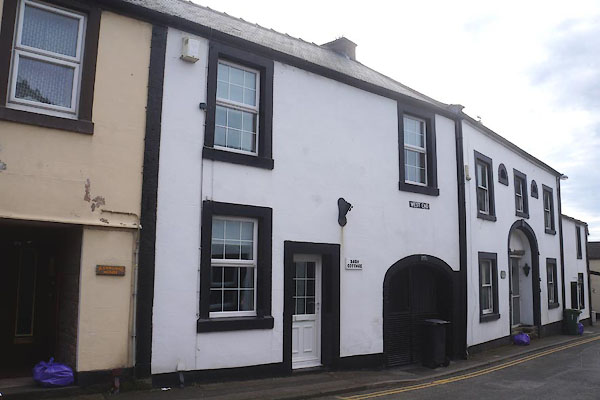 |
NY07433126 Barn Cottage (Broughton) |
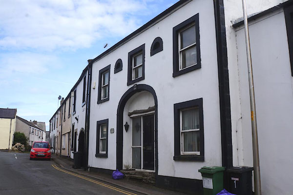 |
NY07423127 Barn, The (Broughton) |
 |
NY07523137 brewery, Great Broughton (Broughton) |
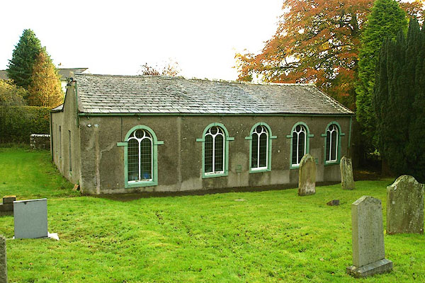 |
NY08003157 Broughton Baptist Church (Broughton) |
 |
NY07653140 Broughton Hall (Broughton) |
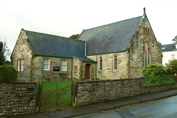 |
NY07363147 Broughton Methodist Church (Broughton) |
 |
NY07373151 chapel, Great Broughton (Broughton) |
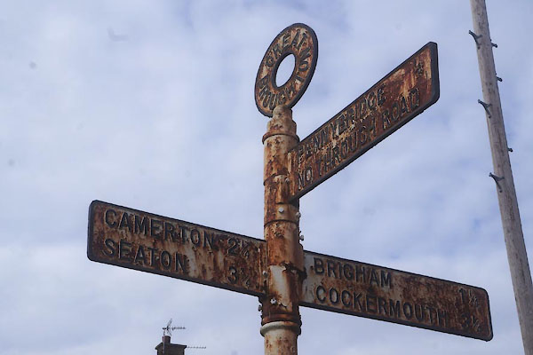 |
NY07383125 fingerpost, Great Broughton (Broughton) |
 |
NY06813201 Great Broughton Station (Broughton) |
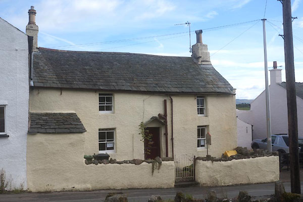 |
NY07393123 Great Broughton: West End, 17 (Broughton) L |
 |
NY07503122 Nook (Broughton) |
 |
NY07403141 pinfold, Great Broughton (Broughton) |
 |
NY07833143 police house, Great Broughton (Broughton) |
 |
NY07683137 Punchbowl Inn (Broughton) |
 |
NY07363155 Great Broughton School (Broughton) |
 |
NY07403149 school, Great Broughton (2) (Broughton) |
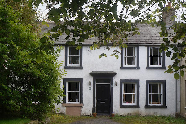 |
NY07553128 Scott House (Broughton) L |
 |
NY05863205 Buckhill Colliery (Broughton) |
 |
NY0731 Welfare Field, The (Broughton) |
