Force Bridge, Sedgwick | ||
Force Bridge | ||
site name:- | Kent, River | |
Street:- | Force Lane (altered route) | |
civil parish:- | Sedgwick (formerly Westmorland) | |
civil parish:- | Helsington (formerly Westmorland) | |
county:- | Cumbria | |
locality type:- | bridge | |
locality type:- | boundary feature | |
locality type:- | parish boundary feature | |
coordinates:- | SD50758685 | |
1Km square:- | SD5086 | |
10Km square:- | SD58 | |
|
||
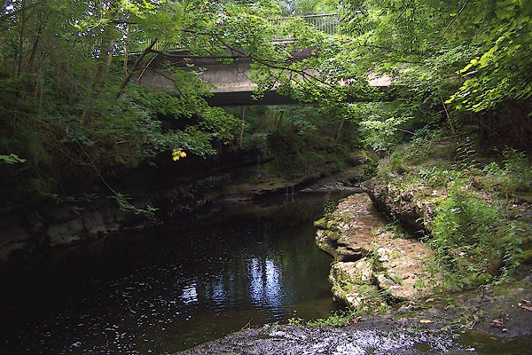
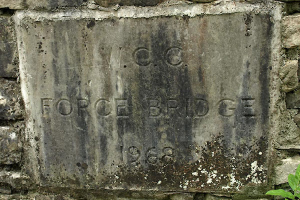
BJS36.jpg (taken 12.8.2005) BXD37.jpg Plaque:- "W.C.C. FORCE BRIDGE 1969" (taken 15.8.2012) |
||
|
||
evidence:- | old map:- OS County Series (Wmd 42 4) placename:- Force Bridge |
|
source data:- | Maps, County Series maps of Great Britain, scales 6 and 25
inches to 1 mile, published by the Ordnance Survey, Southampton,
Hampshire, from about 1863 to 1948. |
|
|
||
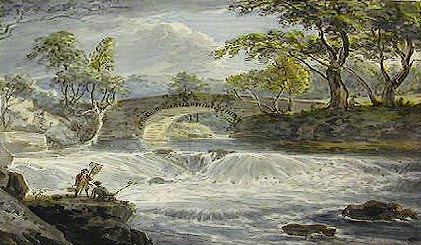
evidence:- | old painting:- |
|
source data:- | Painting, watercolour, View on the River Kent, Force Bridge, Sedgwick, Westmorland,
by Paul Sandby, 1760s-70s. click to enlarge PR0811.jpg Foreshortened view of the small natural weir of a river spanned in centre of composition by a stone bridge. Trees line either bank. item:- Tullie House Museum : 1905.10A.2 Image © Tullie House Museum |
|
|
||
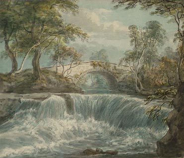
evidence:- | old painting:- placename:- Force Bridge |
|
source data:- | Painting, watercolour, View of Force Bridge and a Fall of the River Kent Five Miles
South of Kendal, Sedgwick, Westmorland, by Paul Sandby, 1760s-70s. click to enlarge PR0810.jpg Foreshortened view of the small natural weir of a river spanned in centre of composition by a stone bridge. Trees line either bank. inscribed at lower edge:- "View of Force Bridge and a Fall of the River Kent 5 miles South of Kendal" item:- Tullie House Museum : 1905.10A.1 Image © Tullie House Museum |
|
|
||
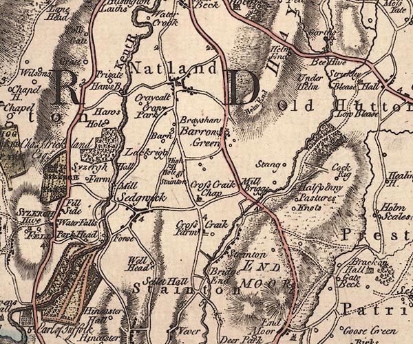
evidence:- | old map:- Jefferys 1770 (Wmd) |
|
source data:- | Map, 4 sheets, The County of Westmoreland, scale 1 inch to 1
mile, surveyed 1768, and engraved and published by Thomas
Jefferys, London, 1770. J5SD58NW.jpg double line, road, across a stream; bridge item:- National Library of Scotland : EME.s.47 Image © National Library of Scotland |
|
|
||
evidence:- | descriptive text:- West 1778 (11th edn 1821) |
|
source data:- | Guide book, A Guide to the Lakes, by Thomas West, published by
William Pennington, Kendal, Cumbria once Westmorland, and in
London, 1778 to 1821. goto source Page 184:- "... fall in with the course of the river [Kent] at Force-bridge, ..." goto source Page 185:- "... The bridge is one bold arch, supported by the opposite rocks, of unknown antiquity. A mantle of ivy vails (sic) its ancient front, and gives it a most venerable appearance. ..." |
|
|
||
evidence:- | old map:- Cary 1789 (edn 1805) |
|
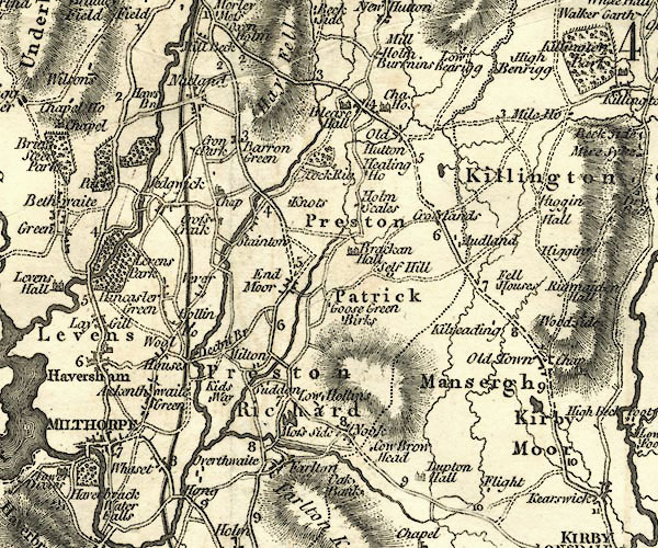
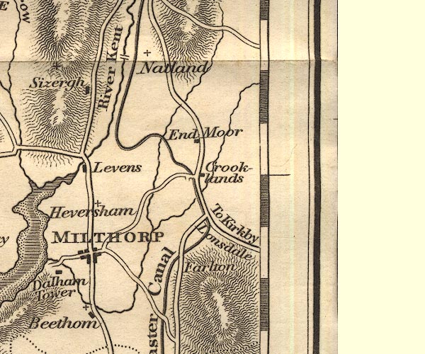
source data:- | Map, uncoloured engraving, Westmoreland, scale about 2.5 miles
to 1 inch, by John Cary, London, 1789; edition 1805. CY24SD58.jpg road across a stream; bridge over the Kent item:- JandMN : 129 Image © see bottom of page |
|
|
||
evidence:- | old map:- Otley 1818 |
|
source data:- | Map, uncoloured engraving, The District of the Lakes,
Cumberland, Westmorland, and Lancashire, scale about 4 miles to
1 inch, by Jonathan Otley, 1818, engraved by J and G Menzies,
Edinburgh, Scotland, published by Jonathan Otley, Keswick,
Cumberland, et al, 1833. OT02SD58.jpg Implied by a road crossing the Kent item:- JandMN : 48.1 Image © see bottom of page |
|
|
||
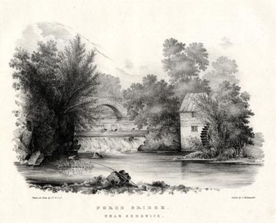
evidence:- | :- Hullmandel 1826 placename:- Force Bridge |
|
source data:- | click to enlarge HUL102.jpg Print, uncoloured lithograph, Force Bridge, near Sedgwick, Westmorland, drawn by Miss I Cropper and Miss S Atkins, published by Charles Hullmandel, London, 1826. "Drawn on Stone by I.C & S.A. / Printed by C. Hullmandel. / FORCE BRIDGE. / NEAR SEDGWICK" item:- Armitt Library : ALMA370.2 Image © see bottom of page |
|
|
||
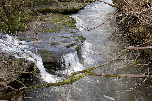
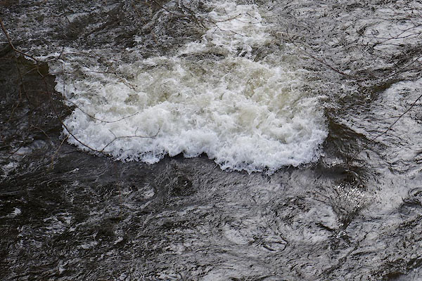
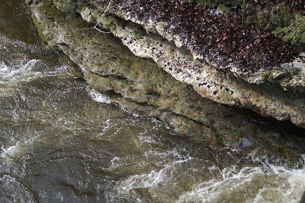
CCP69.jpg View of river. (taken 13.3.2015) CCP67.jpg View of river. (taken 13.3.2015) CCP68.jpg View of river. (taken 13.3.2015) |
||
|