 |
 |
|
|
|
|
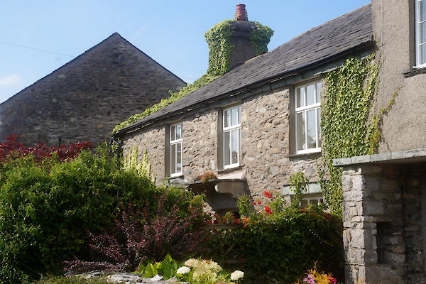
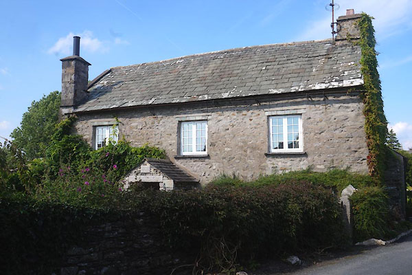
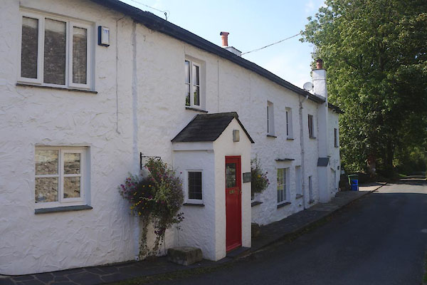
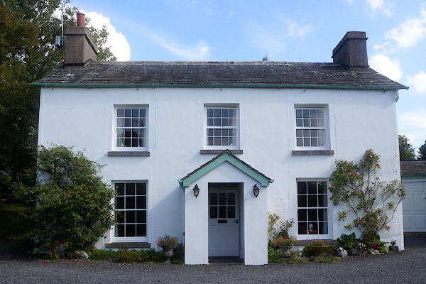
Field Broughton |
| civil parish:- |
Broughton East (formerly Lancashire) |
| county:- |
Cumbria |
| locality type:- |
locality |
| locality type:- |
buildings |
| coordinates:- |
SD38818139 (etc) |
| 1Km square:- |
SD3881 |
| 10Km square:- |
SD38 |
|
|
|
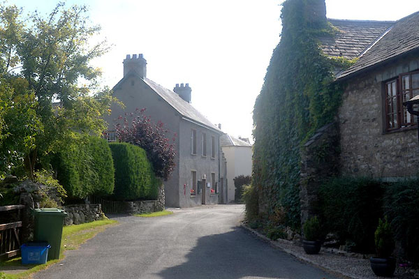
CDX06.jpg (taken 11.9.2015)
|
|
|
| evidence:- |
old map:- OS County Series (Lan 12 11)
placename:- Field Broughton
|
| source data:- |
Maps, County Series maps of Great Britain, scales 6 and 25
inches to 1 mile, published by the Ordnance Survey, Southampton,
Hampshire, from about 1863 to 1948.
|
|
|
| evidence:- |
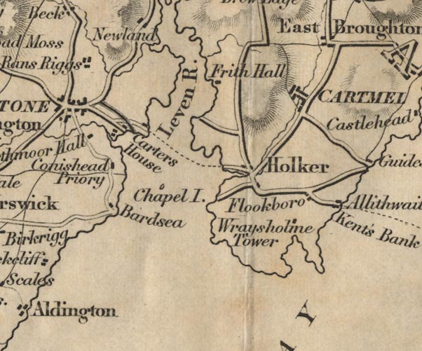
probably old map:- Laurie and Whittle 1806
placename:- Broughton
|
| source data:- |
Road map, Completion of the Roads to the Lakes, scale about 10
miles to 1 inch, by Nathaniel Coltman? 1806, published by Robert
H Laurie, 53 Fleet Street, London, 1834.
 click to enlarge click to enlarge
Lw18.jpg
"Broughton 255¾"
village or other place; distance from London
item:- private collection : 18.18
Image © see bottom of page
|
|
|
| evidence:- |
old map:- Ford 1839 map
placename:- East Broughton
|
| source data:- |
Map, uncoloured engraving, Map of the Lake District of
Cumberland, Westmoreland and Lancashire, scale about 3.5 miles
to 1 inch, published by Charles Thurnam, Carlisle, and by R
Groombridge, 5 Paternoster Row, London, 3rd edn 1843.
FD02SD37.jpg
"East Broughton"
item:- JandMN : 100.1
Image © see bottom of page
|
|
|
| places:- |
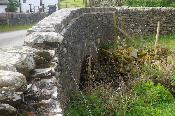 |
SD38588098 bridge, Field Broughton (Broughton East) |
|
|
 |
SD38788134 Broughton Grove (Broughton East) |
|
|
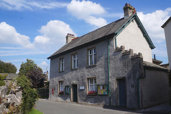 |
SD38828139 Field Broughton Parish Rooms (Broughton East) |
|
|
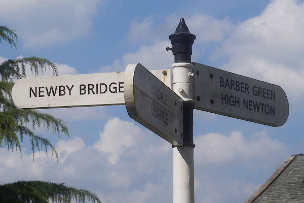 |
SD39048164 fingerpost, Field Broughton (Broughton East) |
|
|
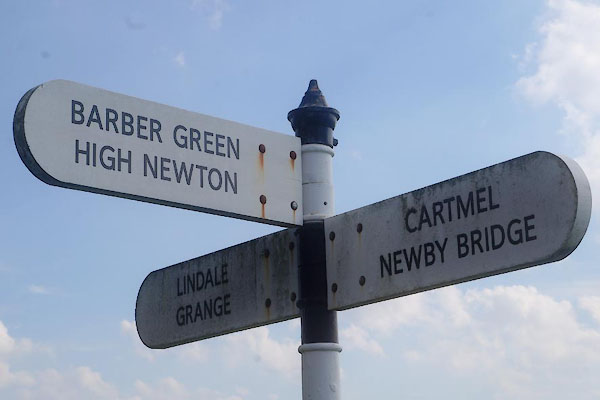 |
SD39048152 fingerpost, Field Broughton (2) (Broughton East) |
|
|
 |
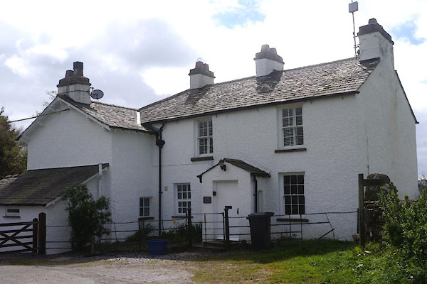
SD38878124 house, Field Broughton (Broughton East) |
|
|
 |
SD38578096 Low Dog Kennel (Broughton East) |
|
|
 |
SD39078167 Old Farm House, The (Broughton East) |
|
|
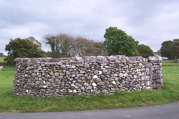 |
SD38578158 pinfold, Field Broughton (Broughton East) L |
|
|
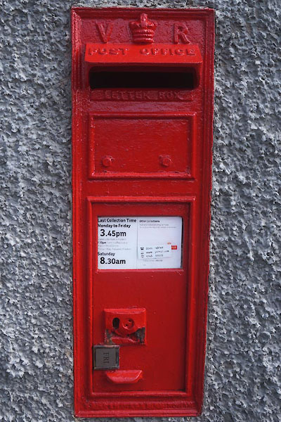 |
SD388813 post box, Field Broughton (Broughton East) |
|
|
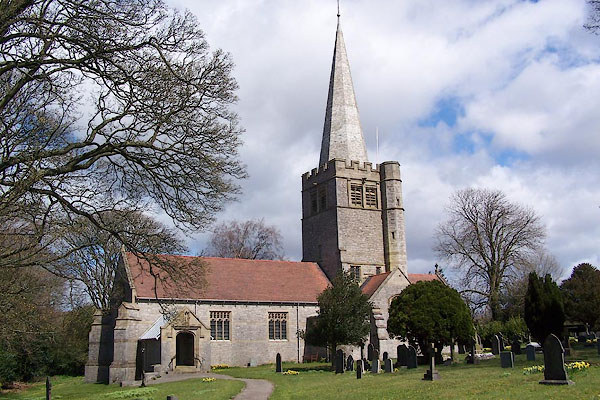 |
SD38708177 St Peter's Church (Broughton East) L |
|
|
 |
SD38818141 Stonelands (Broughton East) L |
|
|
 |
SD39178123 Stony Dale (Broughton East) L |
|
|
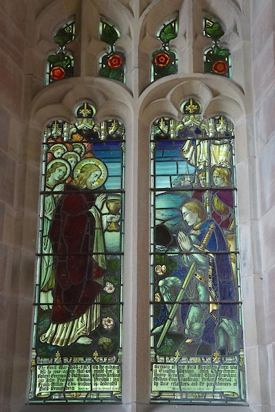 |
SD38708177 war memorial, St Peter (Broughton East) |
|
|
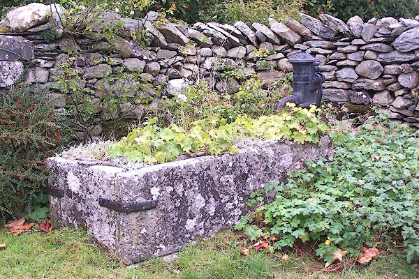 |
SD39098167 water trough, Field Broughton (Broughton East) |
|
|
 |
SD38778146 Wellbank Farm (Broughton East) |
|
|
 |
SD38848141 Whitrigg (Broughton East) |
|
