 Old Cumbria Gazetteer
 |
 |
|
| Stony Dale, Field Broughton | ||
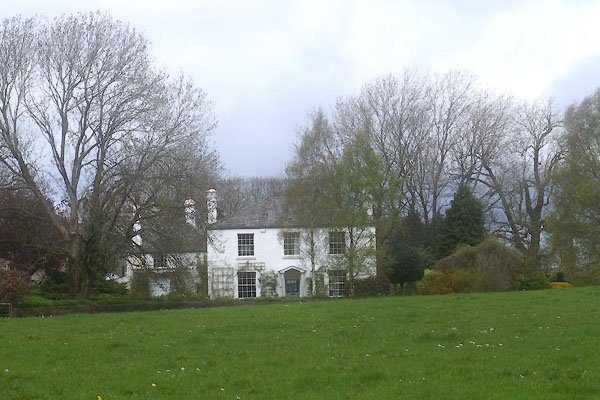
| Stony Dale | ||
| locality:- | Field Broughton | |
| civil parish:- | Broughton East (formerly Lancashire) | |
| county:- | Cumbria | |
| locality type:- | buildings | |
| coordinates:- | SD39178123 | |
| 1Km square:- | SD3981 | |
| 10Km square:- | SD38 | |
|
|
||
 CFY79.jpg (taken 21.4.2017) |
||
|
|
||
| evidence:- | old map:- OS County Series (Lan 12 11) placename:- Stony Dale |
|
| source data:- | Maps, County Series maps of Great Britain, scales 6 and 25
inches to 1 mile, published by the Ordnance Survey, Southampton,
Hampshire, from about 1863 to 1948. |
|
|
|
||
| evidence:- | database:- Listed Buildings 2010 placename:- Stony Dale item:- date stone (1811) |
|
| source data:- | courtesy of English Heritage "STONY DALE / / / BROUGHTON EAST / SOUTH LAKELAND / CUMBRIA / II / 76921 / SD3917881231" |
|
|
|
||
| evidence:- | database:- Listed Buildings 2010 |
|
| source data:- | courtesy of English Heritage "GREENHOUSE APPROXIMATELY 50 METRES TO NORTH EAST OF STONY DALE / / / BROUGHTON EAST / SOUTH LAKELAND / CUMBRIA / II / 76922 / SD3922081279" |
|
|
|
||
 Lakes Guides menu.