 |
 |
   |
|
|
| runs into:- |
 Leck Beck Leck Beck |
|
|
|
Ease Gill |
| civil parish:- |
Casterton (formerly Westmorland) |
| county:- |
Cumbria |
| locality type:- |
river |
| locality type:- |
boundary |
| locality type:- |
county boundary |
| 1Km square:- |
SD6881 (etc) |
| 10Km square:- |
SD68 |
| county:- |
Lancashire |
| current boundary |
| locality:- |
Cumbria boundary |
|
|
| evidence:- |
old map:- OS County Series (Wmd 48 3)
placename:- Ease Gill
|
| source data:- |
Maps, County Series maps of Great Britain, scales 6 and 25
inches to 1 mile, published by the Ordnance Survey, Southampton,
Hampshire, from about 1863 to 1948.
|
|
|
| evidence:- |
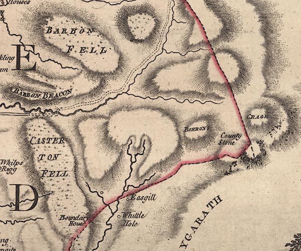
old map:- Jefferys 1770 (Wmd)
|
| source data:- |
Map, 4 sheets, The County of Westmoreland, scale 1 inch to 1
mile, surveyed 1768, and engraved and published by Thomas
Jefferys, London, 1770.

J5SD68SE.jpg
single or double wiggly line; river; close to county boundary
item:- National Library of Scotland : EME.s.47
Image © National Library of Scotland |
|
|
| evidence:- |
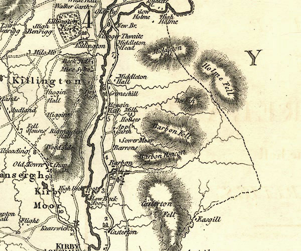
old map:- Cary 1789 (edn 1805)
|
| source data:- |
Map, uncoloured engraving, Westmoreland, scale about 2.5 miles
to 1 inch, by John Cary, London, 1789; edition 1805.

CY24SD68.jpg
river, close to county boundary
item:- JandMN : 129
Image © see bottom of page
|
|
|
| evidence:- |
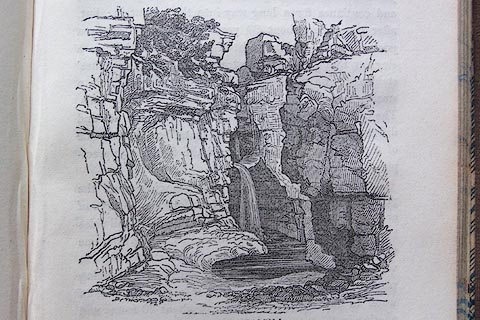
old print:- Otley 1823 (8th edn 1849)
placename:- Easgill
|
| source data:- |
Engraving, Scene in Easgill, Casterton, drawn by T Binns, engraved by O Jewitt, on
p.191 of A Descriptive Guide of the English Lakes, by Jonathan Otley, 8th edition,
1849.
 click to enlarge click to enlarge
O80E47.jpg
item:- Armitt Library : A1180.36
Image © see bottom of page
|
|
|
| places:- |
 |
SD67488053 Easegill Foss (Casterton) |
|
|
 |
SD661800 Easegill Kirk (Casterton) |
|
|
 |
SD66288020 Foss, The (Casterton) |
|
|
 |
SD69258211 Long Gill Foot (Casterton) |
|
|
 |
SD67728074 Pool Sink (Casterton) |
|
|
 |
SD66067999 Toab Dub (Casterton) |
|
|
 |
SD68048108 Top Sink (Casterton) |
|


 Leck Beck

 click to enlarge


