![]() |
![]() |
![]() ![]() ![]() |
||
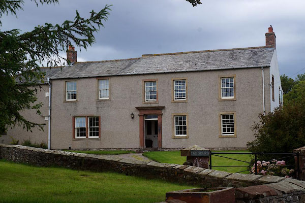
Drumburgh, Bowness | ||||
Drumburgh | ||||
locality:- | Hadrian's Wall | |||
civil parish:- | Bowness (formerly Cumberland) | |||
county:- | Cumbria | |||
locality type:- | locality | |||
locality type:- | buildings | |||
coordinates:- | NY26495978 (etc) | |||
1Km square:- | NY2659 | |||
10Km square:- | NY25 | |||
|
||||
evidence:- | old map:- OS County Series (Cmd 15 10) placename:- Drumburgh |
|||
source data:- | Maps, County Series maps of Great Britain, scales 6 and 25
inches to 1 mile, published by the Ordnance Survey, Southampton,
Hampshire, from about 1863 to 1948. |
|||
|
||||
evidence:- | old text:- Gents Mag item:- base line; surveying |
|||
source data:- | Magazine, The Gentleman's Magazine or Monthly Intelligencer or
Historical Chronicle, published by Edward Cave under the
pseudonym Sylvanus Urban, and by other publishers, London,
monthly from 1731 to 1922.![]() Gentleman's Magazine 1748 p.4 "..." "I measured a base line on Burgh Marsh, after correcting the magnetical meridian; this was directed to a tree on an eminence near Drumbugh, as judging it the longest course in a plain. I carefully examined every angle from each of these stations, and fix'd the several places as specified in my draught. ..." |
|||
|
||||
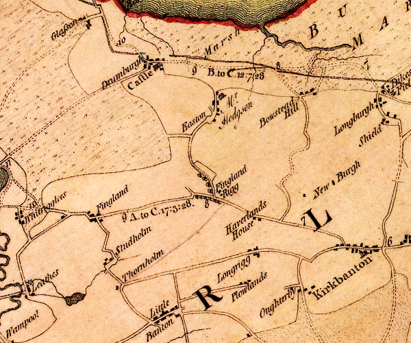
evidence:- | old map:- Donald 1774 (Cmd) placename:- Drumburgh |
|||
source data:- | Map, hand coloured engraving, 3x2 sheets, The County of Cumberland, scale about 1
inch to 1 mile, by Thomas Donald, engraved and published by Joseph Hodskinson, 29
Arundel Street, Strand, London, 1774.![]() D4NY25NE.jpg "Drumburgh" block or blocks, labelled in lowercase; a hamlet or just a house item:- Carlisle Library : Map 2 Image © Carlisle Library |
|||
|
||||
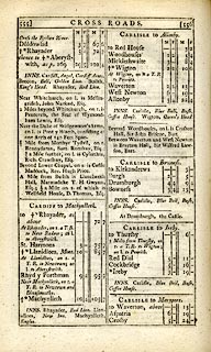
evidence:- | road book:- Cary 1798 (2nd edn 1802) placename:- Drumburgh |
|||
source data:- | Road book, itineraries, Cary's New Itinerary, by John Cary, 181
Strand, London, 2nd edn 1802.![]() ![]() C38555.jpg page 555-556 "Drumburgh" item:- JandMN : 228.2 Image © see bottom of page |
|||
|
||||
evidence:- | old map:- Cooper 1808 placename:- Drumburgh |
|||
source data:- | Map, uncoloured engraving, Cumberland, scale about 10.5 miles to
1 inch, drawn and engraved by Cooper, published by R Phillips,
Bridge Street, Blackfriars, London, 1808.![]() COP3.jpg "Drumburgh" item:- JandMN : 86 Image © see bottom of page |
|||
|
||||
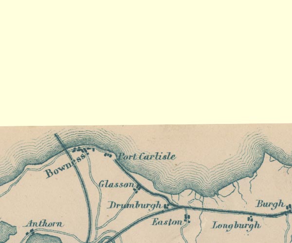
evidence:- | old map:- Garnett 1850s-60s H placename:- Drumburgh |
|||
source data:- | Map of the English Lakes, in Cumberland, Westmorland and
Lancashire, scale about 3.5 miles to 1 inch, published by John
Garnett, Windermere, Westmorland, 1850s-60s.![]() GAR2NY26.jpg "Drumburgh" blocks, settlement item:- JandMN : 82.1 Image © see bottom of page |
|||
|
||||
places:- |
|
|||
|
||||
|
||||
|
||||
|
||||
|
||||
|
||||
|
||||
|