 Old Cumbria Gazetteer
 |
 |
|
| Drigg Station, Drigg | ||
| Drigg Station | ||
| site name:- | Whitehaven and Furness Junction Railway | |
| locality:- | Drigg | |
| civil parish:- | Drigg and Carleton (formerly Cumberland) | |
| county:- | Cumbria | |
| locality type:- | railway station (halt) | |
| coordinates:- | SD06329890 | |
| 1Km square:- | SD0698 | |
| 10Km square:- | SD09 | |
| SummaryText:- | Opened 1849. | |
|
|
||
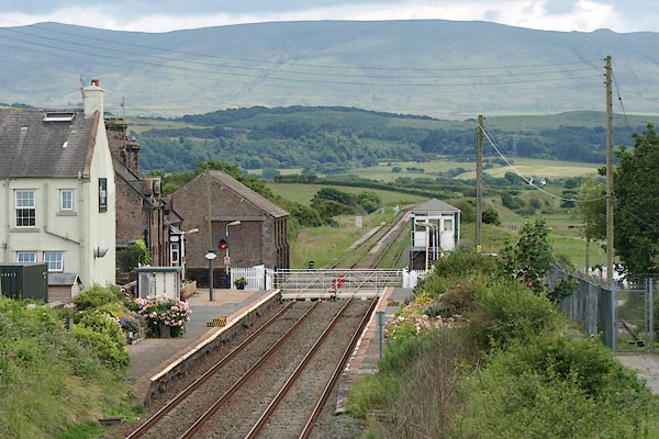 BTE12.jpg (taken 13.7.2010) 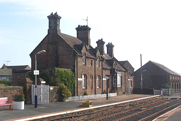 BMV52.jpg (taken 13.10.2006) |
||
|
|
||
| evidence:- | old map:- OS County Series (Cmd 82 2) item:- crane; weighing machine; railway signal; railway bridge |
|
| source data:- | Maps, County Series maps of Great Britain, scales 6 and 25
inches to 1 mile, published by the Ordnance Survey, Southampton,
Hampshire, from about 1863 to 1948.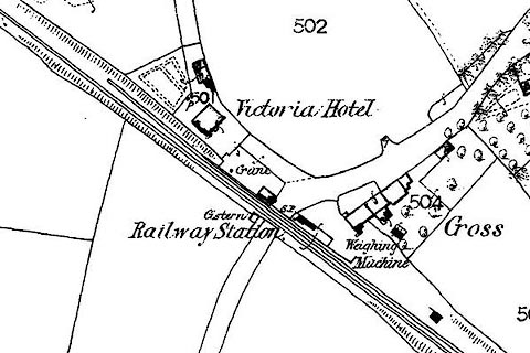 click to enlarge click to enlargeCSRY0104.jpg "Railway Station / Crane / S.P. / Weighing Machine" by Drigg |
|
|
|
||
| evidence:- | old map:- Garnett 1850s-60s H |
|
| source data:- | Map of the English Lakes, in Cumberland, Westmorland and
Lancashire, scale about 3.5 miles to 1 inch, published by John
Garnett, Windermere, Westmorland, 1850s-60s.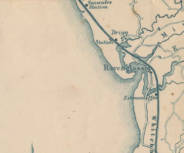 GAR2SD09.jpg "Station" dot by railway item:- JandMN : 82.1 Image © see bottom of page |
|
|
|
||
| evidence:- | old map:- Post Office 1850s-1900s placename:- Drigg Station |
|
| source data:- | Post road maps, General Post Office Circulation Map for England
and Wales, for the General Post Office, London, 1850s-1900s. click to enlarge click to enlargePF10Cm.jpg "Drigg Sta." map date 1892 |
|
|
|
||
| evidence:- | old map:- Post Office 1850s-1900s placename:- Drigg Station |
|
| source data:- | Post road maps, General Post Office Circulation Map for England
and Wales, for the General Post Office, London, 1850s-1900s. click to enlarge click to enlargePOF2Cm.jpg "Drigg Sta." map date 1890 |
|
|
|
||
| evidence:- | old map:- Post Office 1850s-1900s placename:- Drigg Station |
|
| source data:- | Post road maps, General Post Office Circulation Map for England
and Wales, for the General Post Office, London, 1850s-1900s. click to enlarge click to enlargePOF8Cm.jpg "Drigg Stn." map date 1873 |
|
|
|
||
| :- |
images courtesy of the British Postal Museum and Hampshire CC Museums |
|
|
|
||
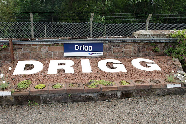 BTE13.jpg Station name. (taken 13.7.2010) 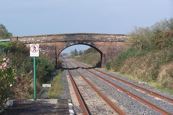 BMV54.jpg View N. (taken 13.10.2006) 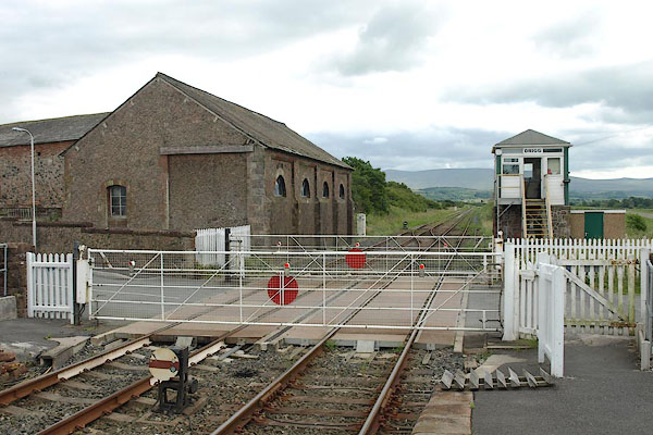 BTE14.jpg Level crossing; view S. (taken 13.7.2010) 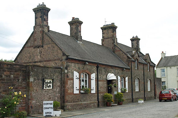 BTE16.jpg Now a coffee and craft shop, Spindle and Craft (taken 13.7.2010) 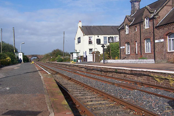 BMV51.jpg (taken 13.10.2006) 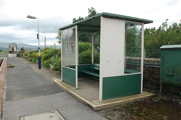 BTE17.jpg Platform shelter. (taken 13.7.2010) 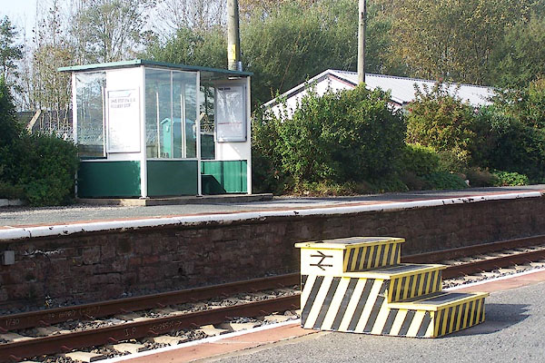 BMV56.jpg (taken 13.10.2006) 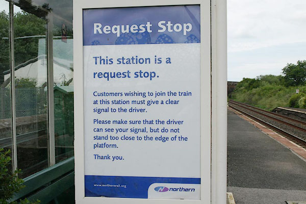 BTE18.jpg Request Stop notice (taken 13.7.2010) 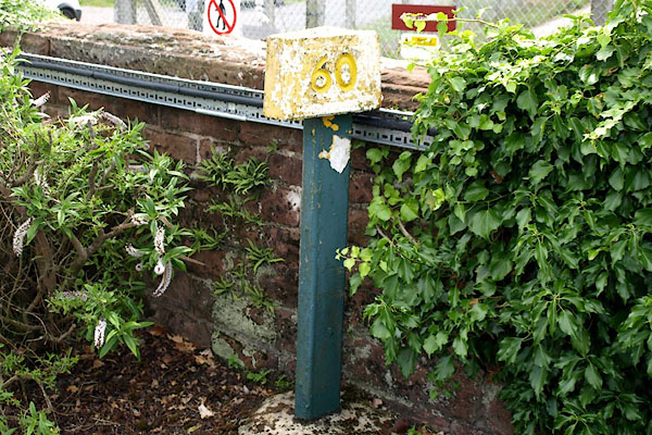 BTE19.jpg Milepost 60. (taken 13.7.2010) 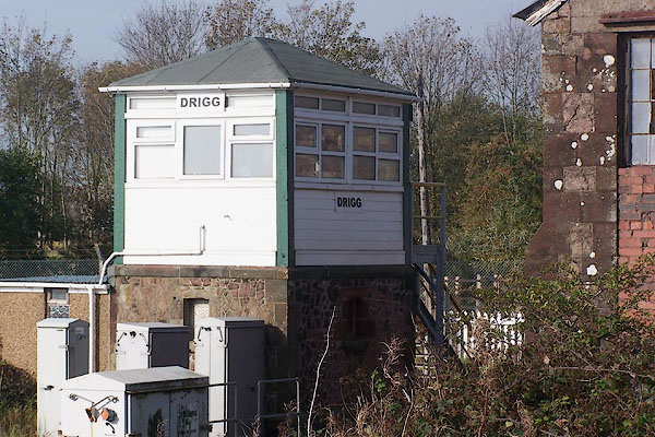 BMV57.jpg Signal box. (taken 13.10.2006) 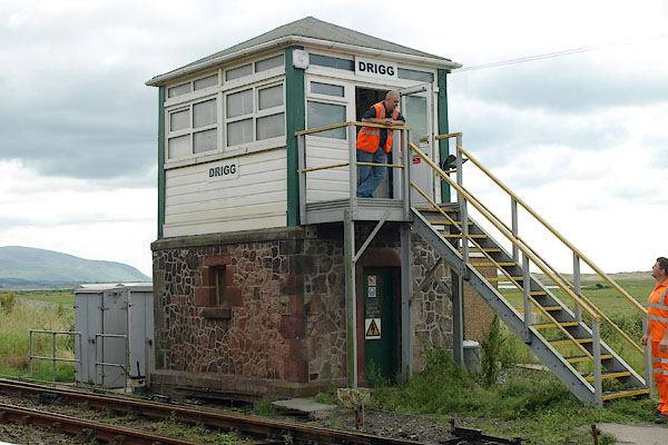 BTE20.jpg Signal box. (taken 13.7.2010) 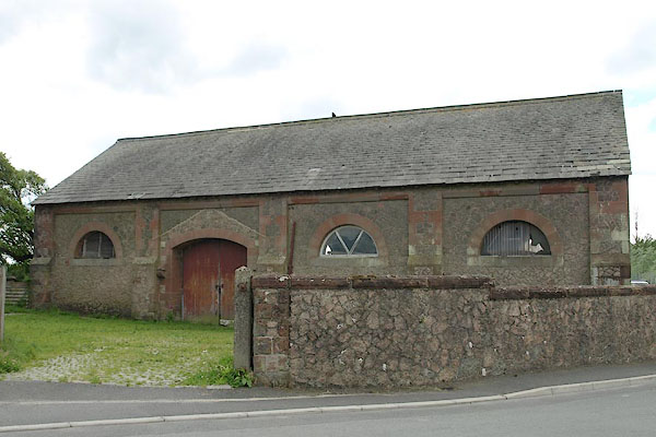 BTE15.jpg Goods shed. (taken 13.7.2010) 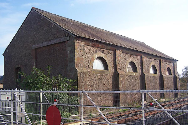 BMV55.jpg Goods shed. (taken 13.10.2006) |
||
|
|
||
| Paley and Austin series | ||
| person:- | architect : Paley, Edward G |
|
| person:- | architect : Austin, Hubert J |
|
| date:- | 1885 |
|
| New building. |
||
|
|
||
 Lakes Guides menu.