 |
 |
|
|
|
| runs into:- |
 Branthwaite Beck Branthwaite Beck |
|
|
|
|
| civil parish:- |
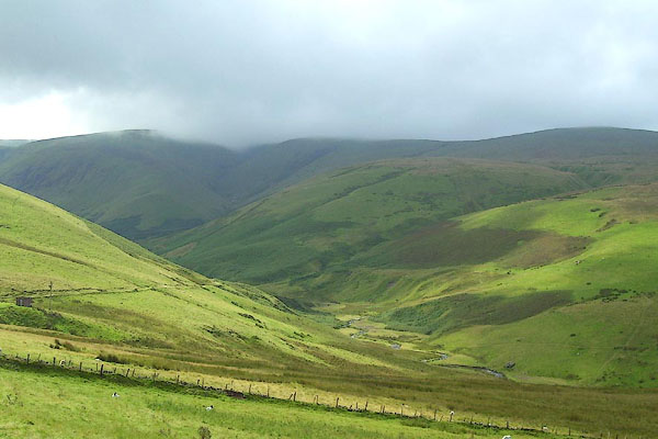
Caldbeck (formerly Cumberland) |
| county:- |
Cumbria |
| locality type:- |
river |
| 1Km square:- |
NY3036 (etc) |
| 10Km square:- |
NY33 |
|
|
|
BNY84.jpg (taken 15.8.2007)
|
|
|
| evidence:- |
old map:- OS County Series (Cmd 47 7)
placename:- Dale Beck
|
| source data:- |
Maps, County Series maps of Great Britain, scales 6 and 25
inches to 1 mile, published by the Ordnance Survey, Southampton,
Hampshire, from about 1863 to 1948.
|
|
|
| places:- |
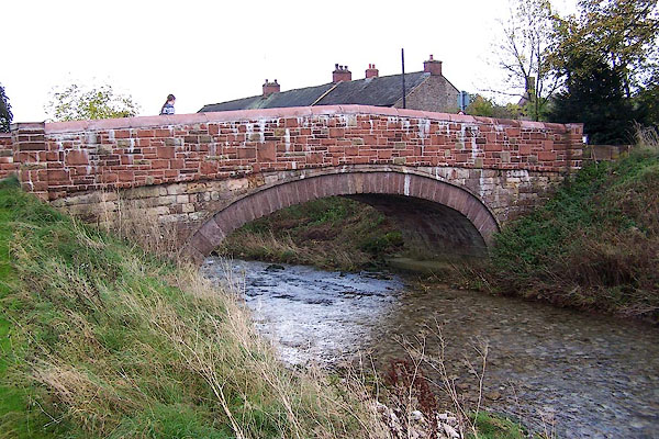 |
NY68031319 bridge, Great Asby (Asby) |
|
|
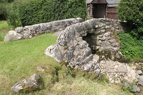 |
NY67831297 footbridge, Great Asby (Asby) L |
|
