 Old Cumbria Gazetteer
 |
 |
|
| Church Bridge, Troutbeck | ||
| Church Bridge | ||
| site name:- | Trout Beck (5) | |
| locality:- | Troutbeck | |
| civil parish:- | Windermere (formerly Westmorland) | |
| civil parish:- | Lakes (formerly Westmorland) | |
| county:- | Cumbria | |
| locality type:- | bridge | |
| coordinates:- | NY41240268 | |
| 1Km square:- | NY4102 | |
| 10Km square:- | NY40 | |
|
|
||
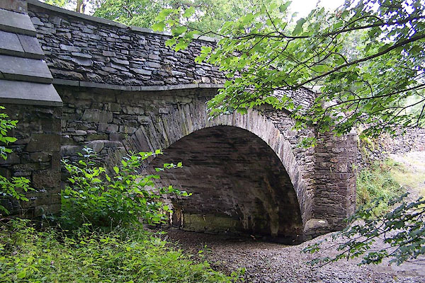 BJS56.jpg An inscription on the east parapet reads:- "APPLETHWAITE" The township on the east side of the valley was Applethwaite; Troutbeck on the west. (taken 17.8.2005) 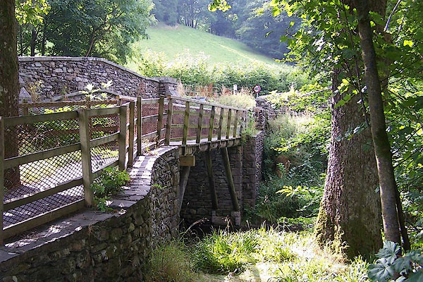 BJS55.jpg (taken 17.8.2005) |
||
|
|
||
| evidence:- | old map:- OS County Series (Wmd 26 16) placename:- Church Bridge |
|
| source data:- | Maps, County Series maps of Great Britain, scales 6 and 25
inches to 1 mile, published by the Ordnance Survey, Southampton,
Hampshire, from about 1863 to 1948. |
|
|
|
||
 Lakes Guides menu.