 |
 |
   |
|
|
|
Beckfoot |
| civil parish:- |
Ulpha (formerly Cumberland) |
| county:- |
Cumbria |
| locality type:- |
locality |
| locality type:- |
buildings |
| coordinates:- |
SD19288989 |
| 1Km square:- |
SD1989 |
| 10Km square:- |
SD18 |
|
|
|
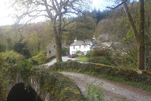
CFZ25.jpg (taken 28.4.2017)
|
|
|
| evidence:- |
old map:- OS County Series (Cmd 86 11)
placename:- Beckfoot
|
| source data:- |
Maps, County Series maps of Great Britain, scales 6 and 25
inches to 1 mile, published by the Ordnance Survey, Southampton,
Hampshire, from about 1863 to 1948.
|
|
|
| evidence:- |
possibly old map:- Donald 1774 (Cmd)
placename:- Wha
|
| source data:- |
Map, hand coloured engraving, 3x2 sheets, The County of Cumberland, scale about 1
inch to 1 mile, by Thomas Donald, engraved and published by Joseph Hodskinson, 29
Arundel Street, Strand, London, 1774.
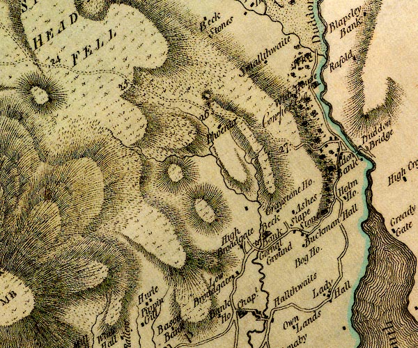
D4SD18NE.jpg
"Wha"
no symbol
item:- Carlisle Library : Map 2
Image © Carlisle Library |
|
|
| places:- |
 |
NY09184942 Anchor Inn (Holme St Cuthbert) |
|
|
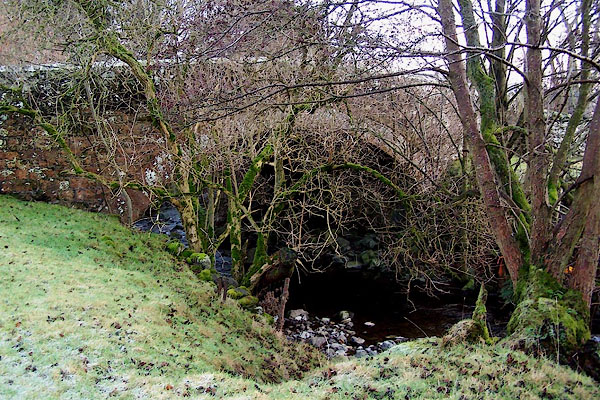 |
NY50922034 Beckfoot Bridge (Bampton / Askham) |
|
|
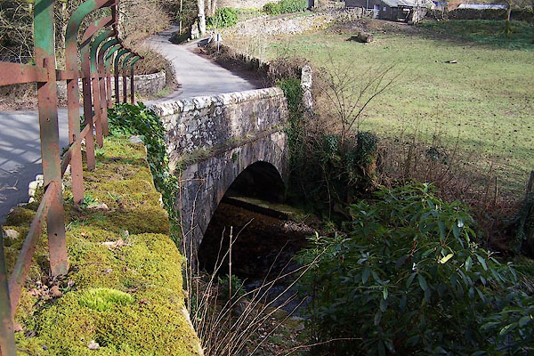 |
NY16890046 Beckfoot Bridge (Eskdale) |
|
|
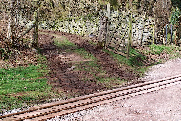 |
NY16860048 (Eskdale) |
|
|
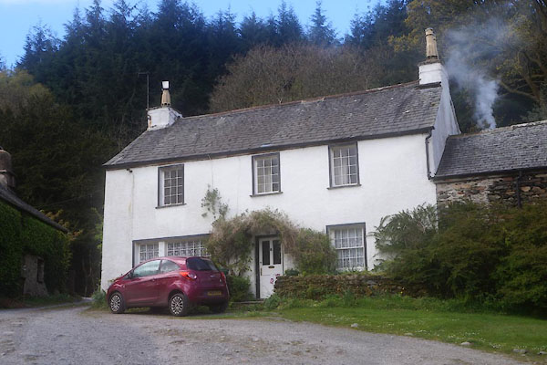 |
SD19248987 Beckfoot Farm (Ulpha) |
|
|
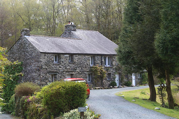 |
SD19308984 Beckfoot Mill (Ulpha) |
|
|
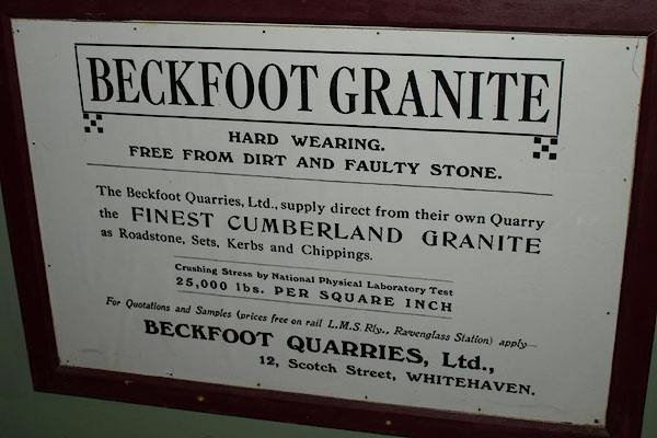 |
NY16410036 Beckfoot Quarry (Eskdale) |
|
|
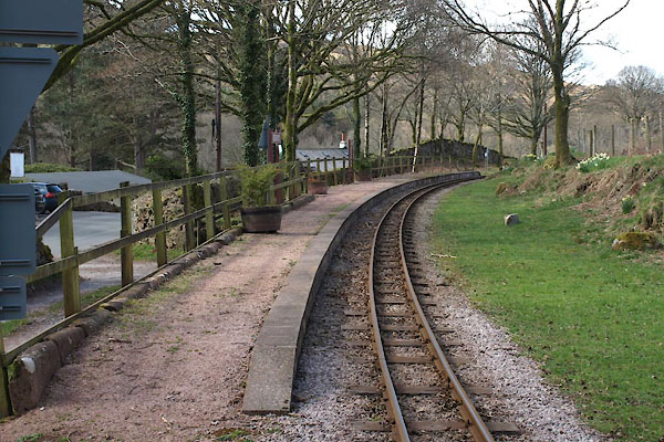 |
NY16830044 Beckfoot Station (Eskdale) |
|
|
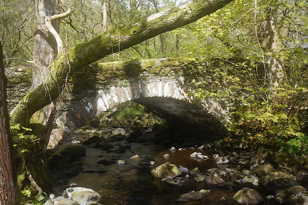 |
SD19508990 bridge, Beckfoot (Ulpha / Millom Without) |
|
|
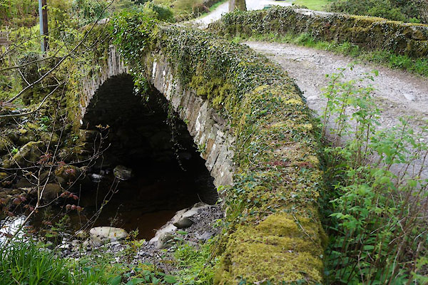 |
SD19308991 bridge, Beckfoot (2) (Ulpha / Millom Without) |
|
|
 |
NY09004890 Castle Fields (Holme St Cuthbert) |
|
|
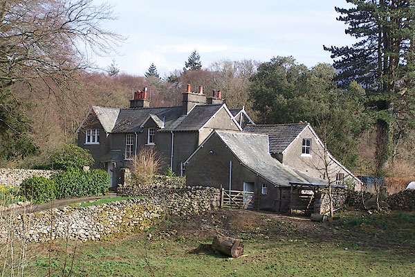 |
NY16970044 Eskdale Vicarage (Eskdale) |
|
|
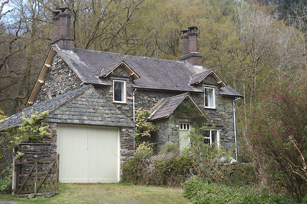 |
SD19238990 house, Beckfoot (Ulpha) |
|
|
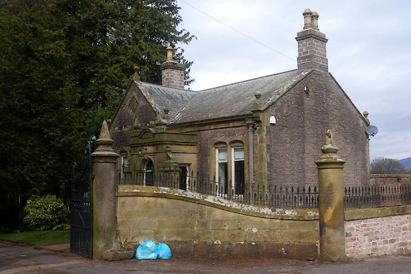 |
NY77031128 Lodge, The (Winton) L |
|
|
 |
NY09034916 mill, Beckfoot (Holme St Cuthbert) gone |
|
|
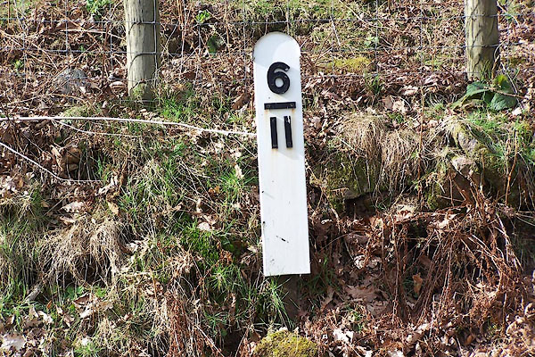 |
NY16860046 railway milepost, Beckfoot (Eskdale) |
|
|
 |
NY08974885 Bibra (Holme St Cuthbert) |
|
|
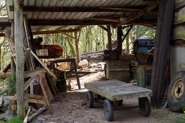 |
SD19348921 saw mill, Beckfoot (Ulpha) |
|
|
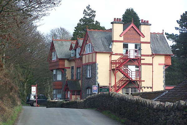 |
NY16810040 Stanley Ghyll (Eskdale) |
|
|
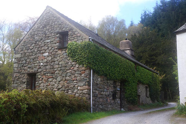 |
SD19248986 Wariners (Ulpha) |
|
|
 |
NY09324962 Beckfoot Meeting House (Holme St Cuthbert) |
|


